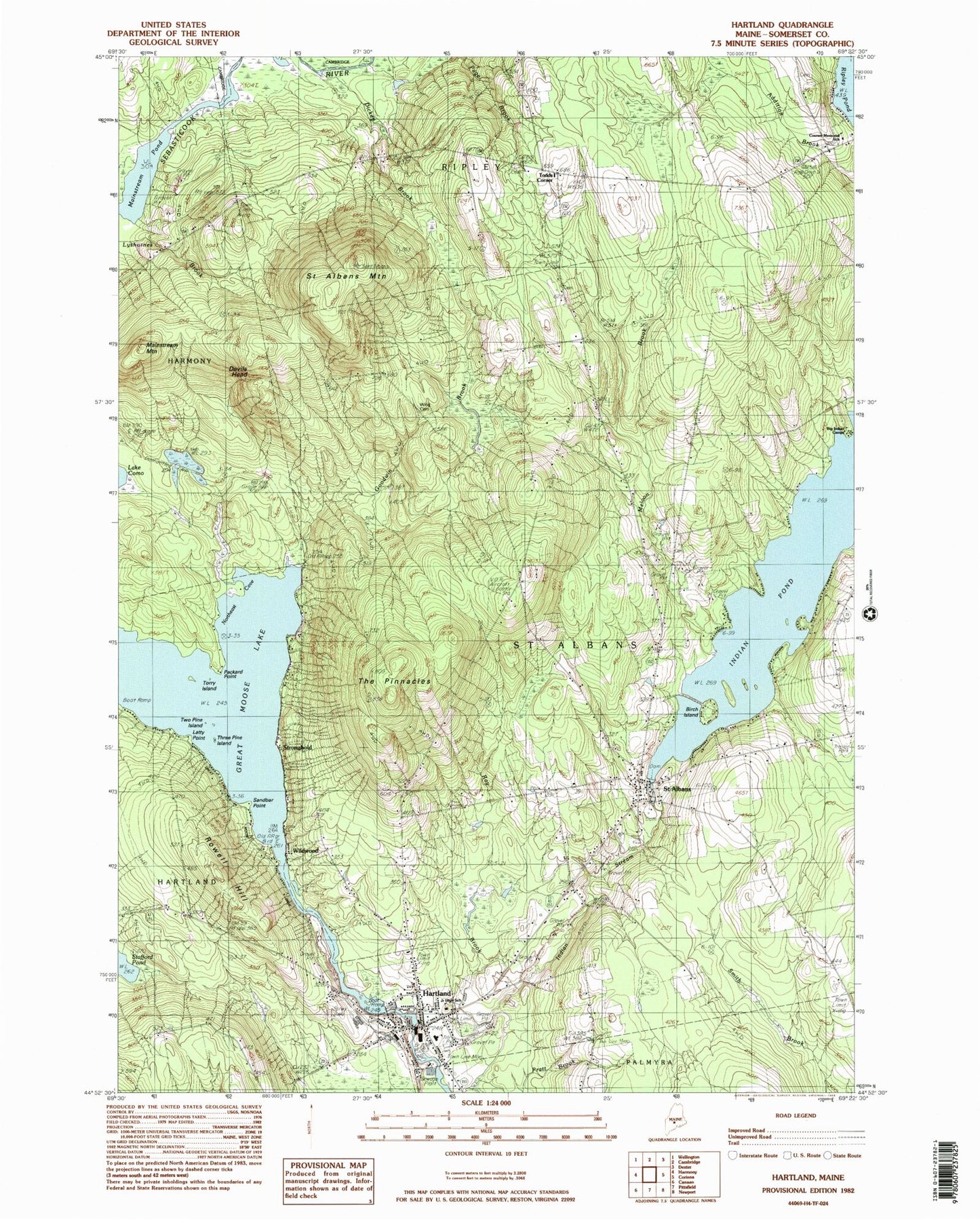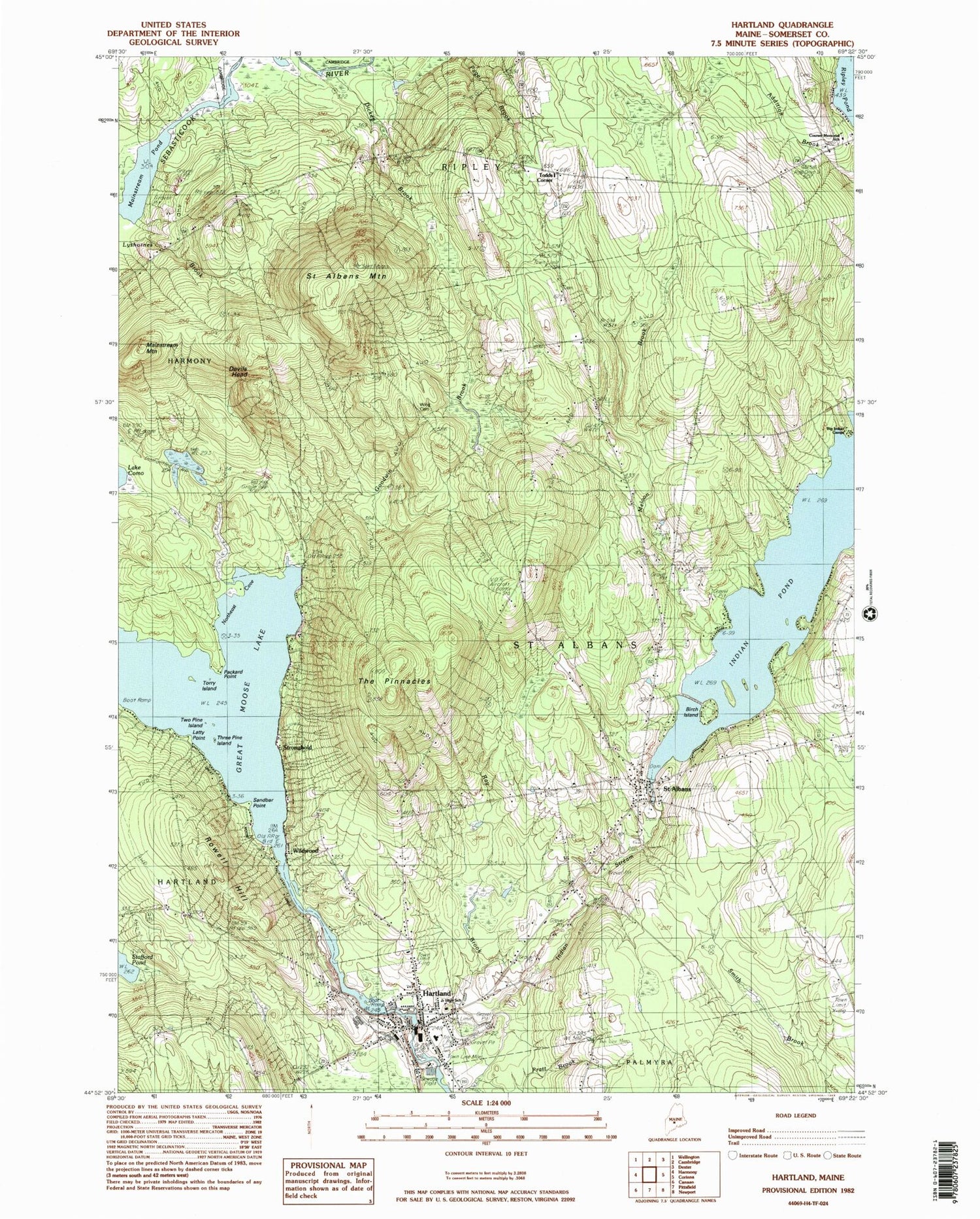

MyTopo
Classic USGS Hartland Maine 7.5'x7.5' Topo Map
Couldn't load pickup availability
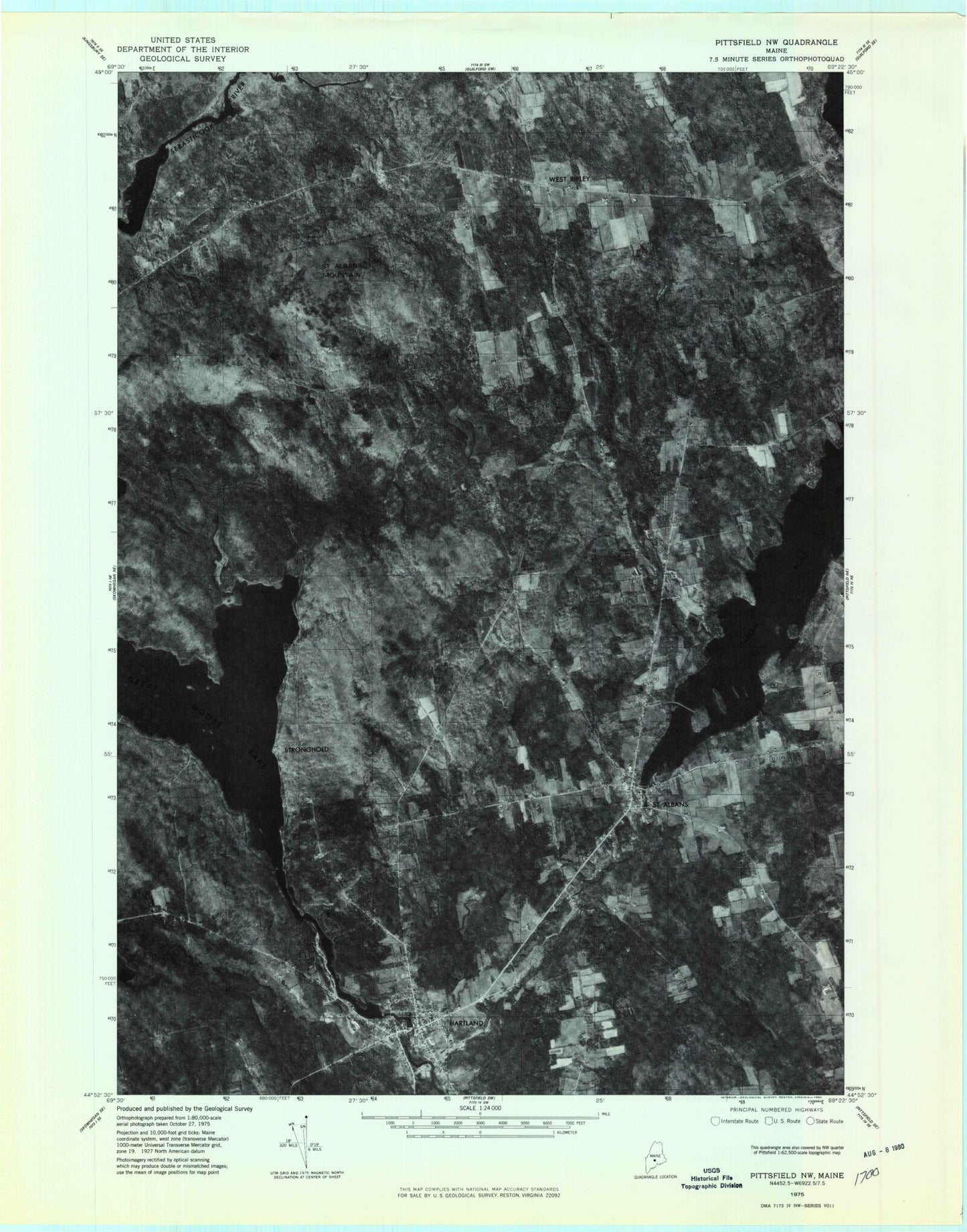
Historical USGS topographic quad map of Hartland in the state of Maine. Typical map scale is 1:24,000, but may vary for certain years, if available. Print size: 24" x 27"
This quadrangle is in the following counties: Somerset.
The map contains contour lines, roads, rivers, towns, and lakes. Printed on high-quality waterproof paper with UV fade-resistant inks, and shipped rolled.
Contains the following named places: Big Indian Camps, Devils Head, Dickey Brook, Goodwin Brook, Hartland, Indian Pond, Latty Point, Lyshornes Brook, Mainstream Mountain, Mainstream Pond, Meloon Brook, Northeast Cove, Packard Point, Pond Road School, Pratt Brook, Railbridge Brook, Ray Brook, Rowell Hill, Saint Albans, Saint Albans Mountain, Sandbar Point, The Pinnacles, Three Pine Island, Torry Island, Two Pine Island, Todds Corner, Wing Cemetery, Cyrs, Stronghold, Wildwood, Wild Goose Club, Town of Saint Albans, Great Moose Lake Dam, Upper Dam, Indian Pond, Lower Dam, Mill Pond, Lower Dam, Indian Stream Reservoir, Birch Island, Hartland Consolidated School, Hartland First Baptist Church, Somerset Elementary School, Hartland Methodist Church, Hartland Public Library, Saint Albans Consolidated School, Saint Albans Union Church, West Ripley Cemetery, Courser Memorial School, Hartland Census Designated Place, Saint Albans Volunteer Fire Department, Hartland Volunteer Fire Department, Hartland Saint Albans Emergency Medical Services, Village Cemetery, Watson Cemetery, Maloon Cemetery, Ireland Cemetery, Hartland Post Office