MyTopo
Classic USGS Harts Lake Washington 7.5'x7.5' Topo Map
Couldn't load pickup availability
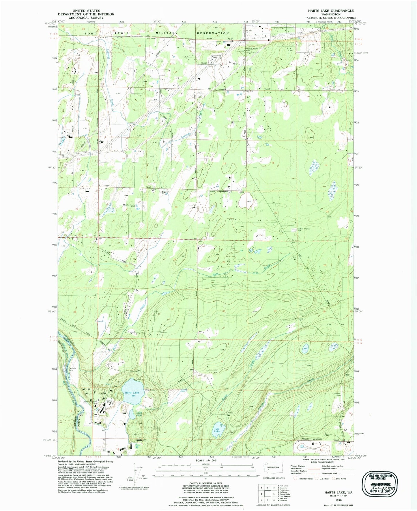
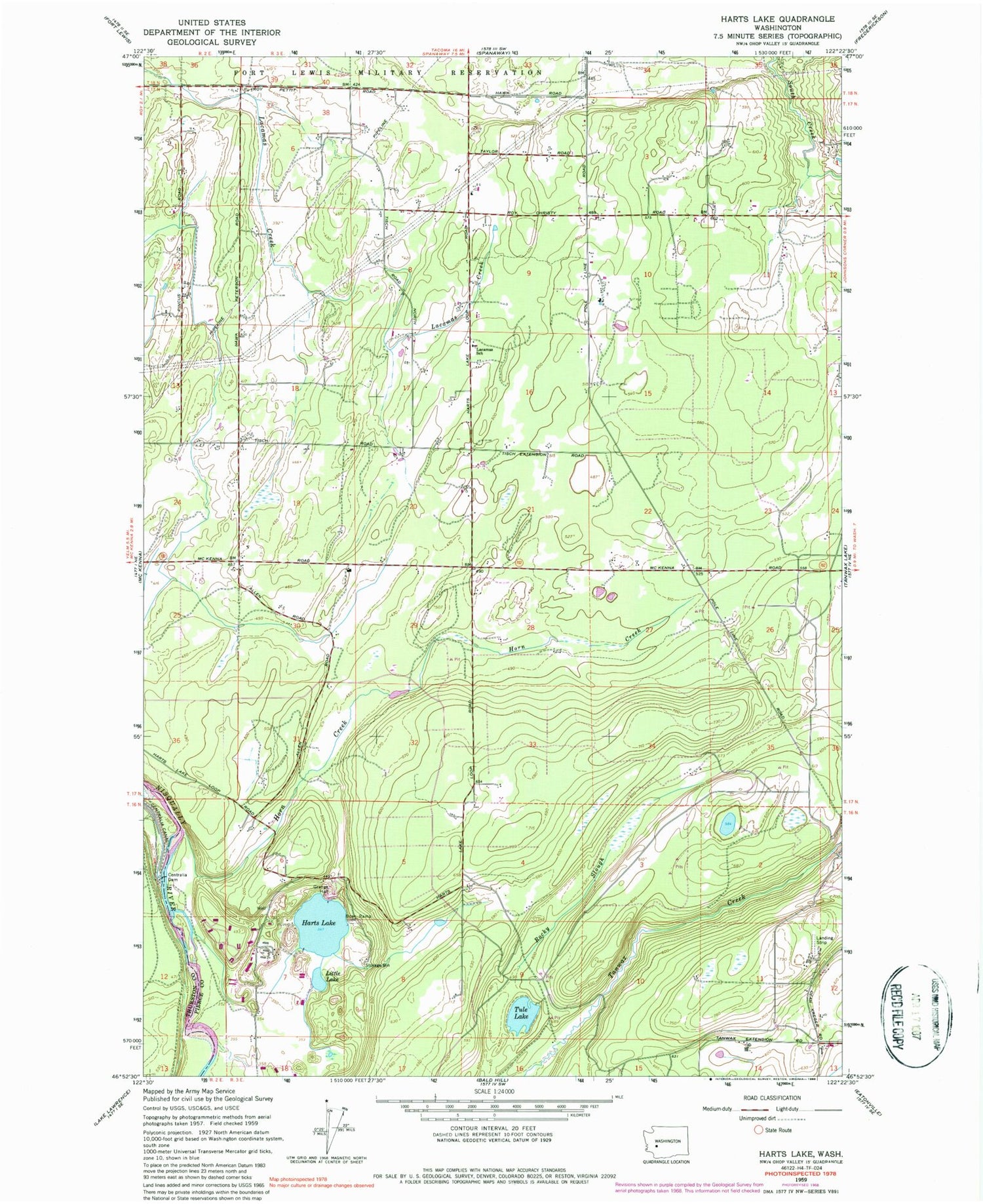
Historical USGS topographic quad map of Harts Lake in the state of Washington. Map scale may vary for some years, but is generally around 1:24,000. Print size is approximately 24" x 27"
This quadrangle is in the following counties: Pierce, Thurston.
The map contains contour lines, roads, rivers, towns, and lakes. Printed on high-quality waterproof paper with UV fade-resistant inks, and shipped rolled.
Contains the following named places: Asplund Field, Centralia Dam, Country Green Estates Mobile Home Park, Harts Lake, Horn Creek, Lacamas Creek, Lacamas School, Little Lake, Rocky Slough, Roy Division, South Creek Census Designated Place, South Pierce Fire and Rescue Station 172, South Pierce Fire and Rescue Station 173, Tule Lake