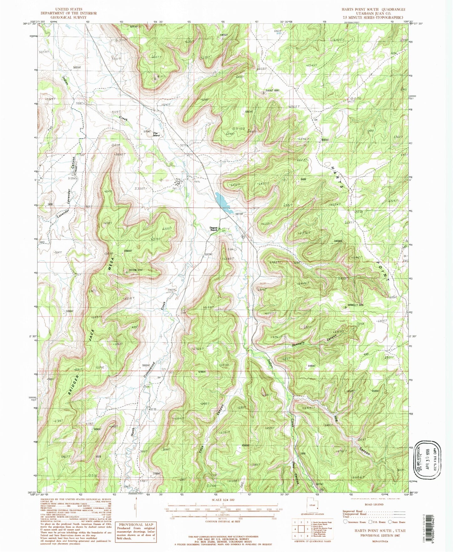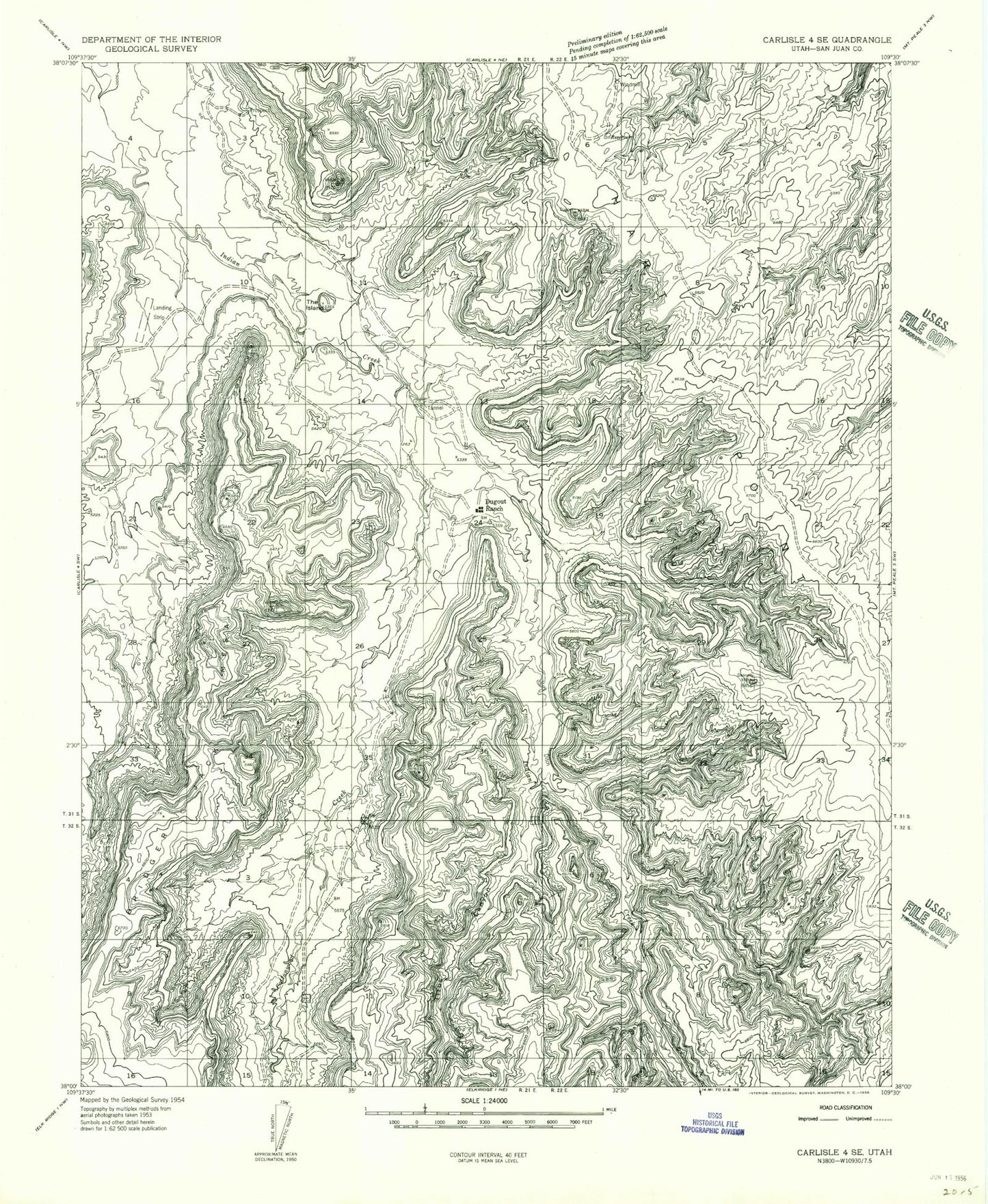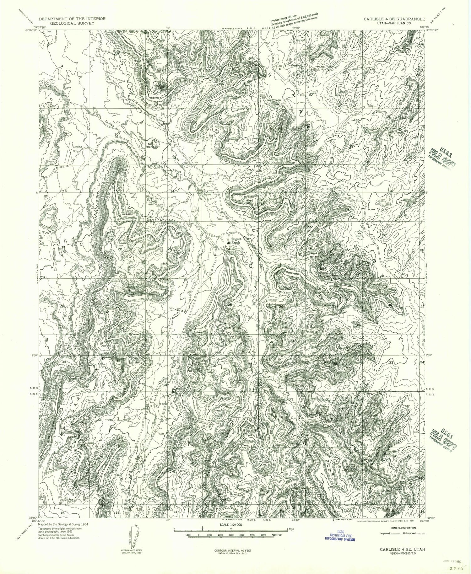
MyTopo
Classic USGS Harts Point South Utah 7.5'x7.5' Topo Map
Regular price
$16.95
Regular price
Sale price
$16.95
Unit price
per
Couldn't load pickup availability
Historical USGS topographic quad map of Harts Point South in the state of Utah. Map scale may vary for some years, but is generally around 1:24,000. Print size is approximately 24" x 27"
This quadrangle is in the following counties: San Juan.
The map contains contour lines, roads, rivers, towns, and lakes. Printed on high-quality waterproof paper with UV fade-resistant inks, and shipped rolled.
Contains the following named places: Bridger Jack Mesa Outstanding Natural Area, Donnelly Canyon, Dugout Dam, Dugout Ranch, Dugout Reservoir, Hog Canyon, Lavender Canyon, Lavender Creek, North Cottonwood Creek, Shay Canyon, The Island, Titus Canyon