MyTopo
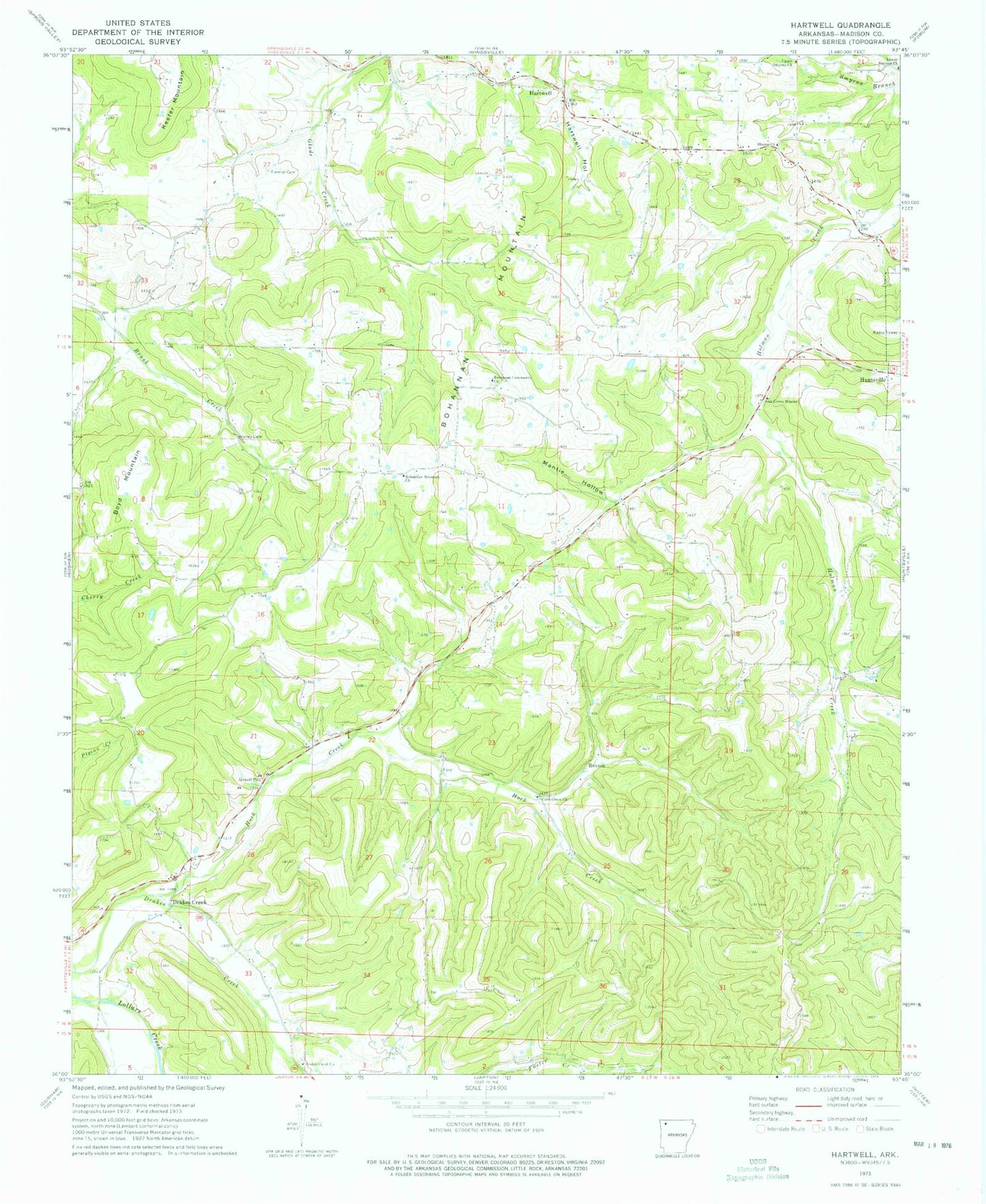
Classic USGS Hartwell Arkansas 7.5'x7.5' Topo Map
Couldn't load pickup availability
Historical USGS topographic quad map of Hartwell in the state of Arkansas. Map scale may vary for some years, but is generally around 1:24,000. Print size is approximately 24" x 27"
This quadrangle is in the following counties: Madison.
The map contains contour lines, roads, rivers, towns, and lakes. Printed on high-quality waterproof paper with UV fade-resistant inks, and shipped rolled.
Contains the following named places: Bohannan Community Church, Bohannan Mountain, Bohannan Mountain Church, Bohannan Mountain Volunteer Fire Department, Boyd Mountain, Cobb Creek Church, Drakes Creek, Drakes Creek Church, Farmer Cemetery, Hartwell, Hock Creek, Huntsville Municipal Airport, Keefer Mountain, Lower Smyrna Church, Mante, Mantie Hollow, Oak Grove Mission, Roxton, Sharon Church, Township of Bohannan, Township of Richland, Upper Smyrna Church, Worley Cemetery, ZIP Code: 72773