MyTopo
Classic USGS Hartwood New York 7.5'x7.5' Topo Map
Couldn't load pickup availability
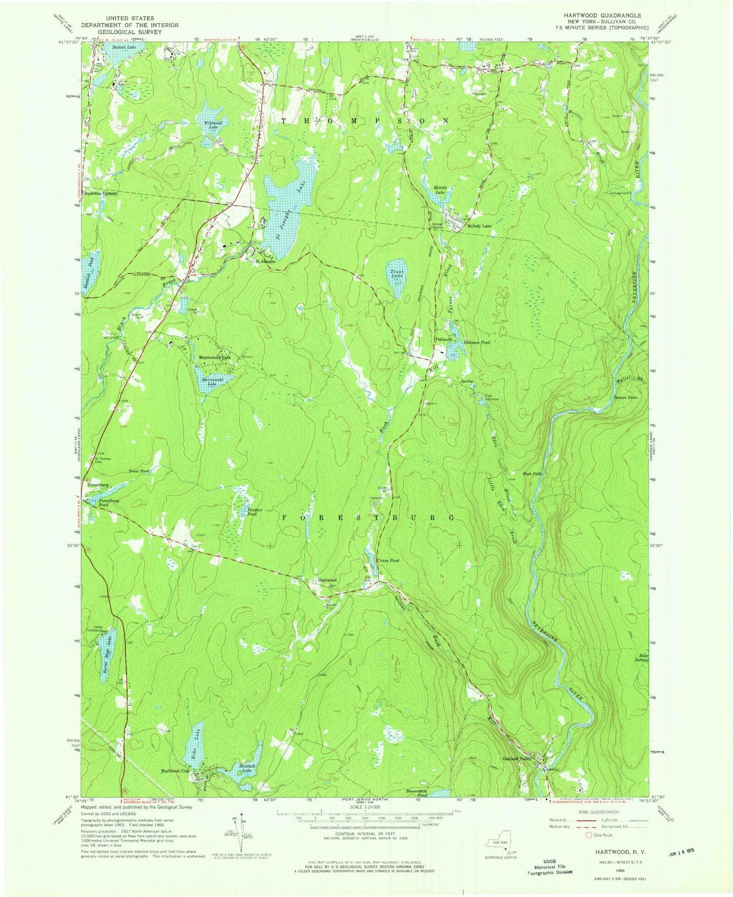
Historical USGS topographic quad map of Hartwood in the state of New York. Typical map scale is 1:24,000, but may vary for certain years, if available. Print size: 24" x 27"
This quadrangle is in the following counties: Sullivan.
The map contains contour lines, roads, rivers, towns, and lakes. Printed on high-quality waterproof paper with UV fade-resistant inks, and shipped rolled.
Contains the following named places: Burnt Hope Lake, Bush Kill, Camp Forestburg, Crane Pond, Denton Falls, Echo Lake, Eden Brook, Forestburg Cemetery, Forestburg Pond, Gillman Pond, Hartwood Club, Hemlock Lake, High Falls, Little Eden Brook, Melody Lake, Melody Lake, Mercer Brook, Merriewold Lake, Merriewold Park, Mullet Brook, Oakland Valley, Panther Pond, Ruddick Pond, Saint Josephs, Saint Josephs Lake, Saint Thomas Aquinas Cemetery, Squirrels Corners, Trout Lake, Trout Pond, Turner Brook, Wildwood Lake, Hartwood, Philwold, Monticello Airport (historical), Town of Forestburgh, Forestburgh Fire Company 1


