MyTopo
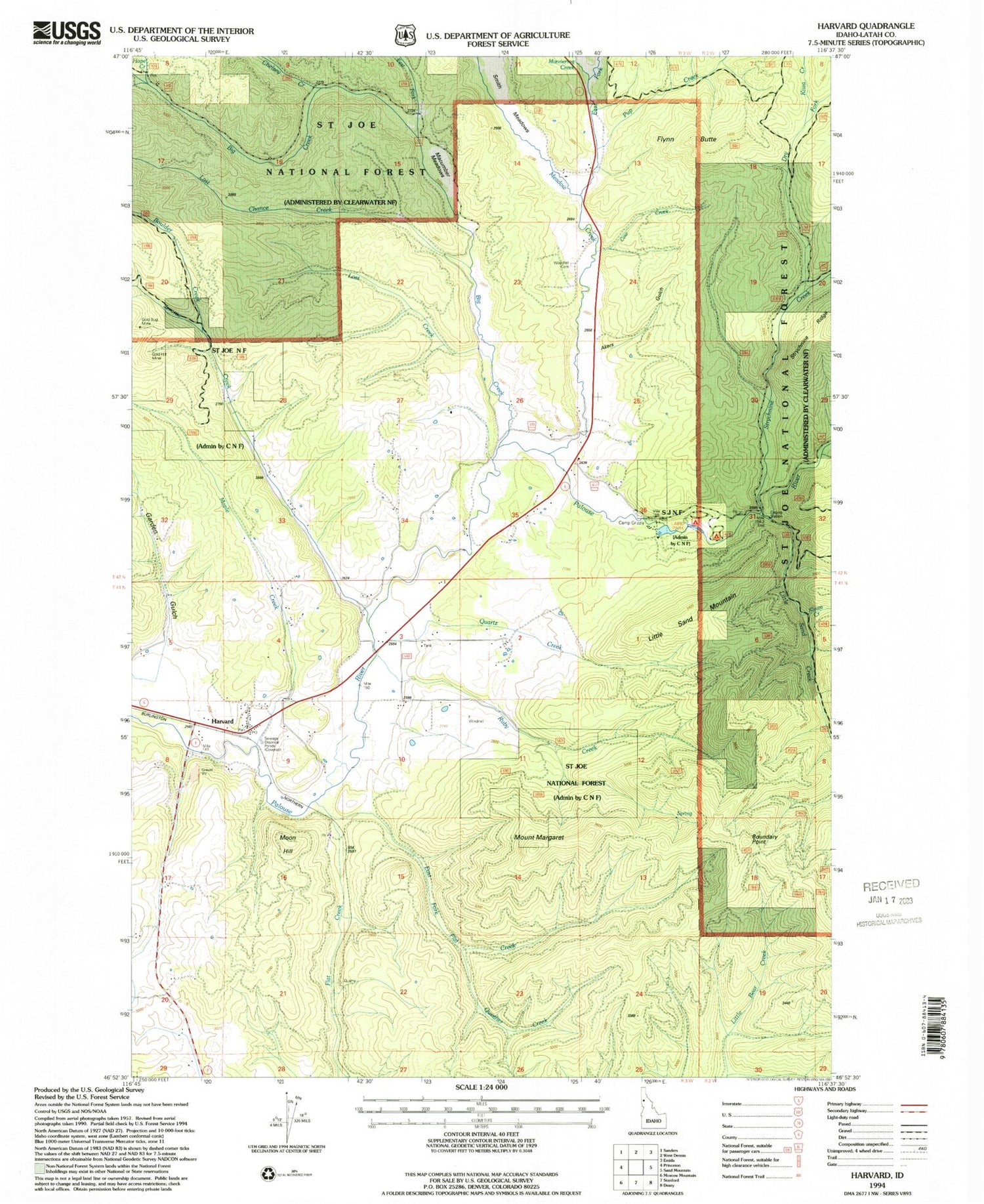
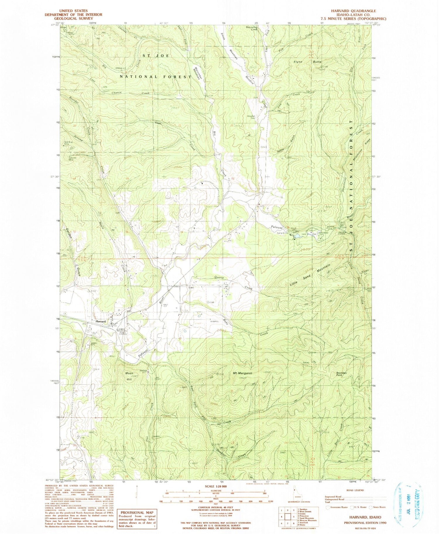
Classic USGS Harvard Idaho 7.5'x7.5' Topo Map
Couldn't load pickup availability
Historical USGS topographic quad map of Harvard in the state of Idaho. Map scale may vary for some years, but is generally around 1:24,000. Print size is approximately 24" x 27"
This quadrangle is in the following counties: Latah.
The map contains contour lines, roads, rivers, towns, and lakes. Printed on high-quality waterproof paper with UV fade-resistant inks, and shipped rolled.
Contains the following named places: Akers Gulch, Big Creek, Bonami Number 1 Mine, Boulder Creek, Boundary Point, Camp Grizzly, Chelsey Creek, Cow Creek, Dry Fork, East Fork Big Creek, East Fork Flat Creek, East Fork Meadow Creek, Flat Creek, Flynn Butte, Garden Gulch, Gold Bug Mine, Gold Hill Mine, Harvard, Harvard Post Office, Heath Gulch, Hope Creek, Hyaak Creek, Jerome Creek, Kiwa Creek, Klawa Creek, Laird Park, Last Chance Creek, Little Sand Creek, Little Sand Mountain, Lost Creek, Macumber Meadows, Mannering Creek, Maple Creek, Meadow Creek, Moon Hill, Mount Margaret, Pup Creek, Quartz Creek, Queener Creek, Ruby Creek, Smith Meadows, Strychnine Creek, Sypah Creek, Woodfell Cemetery, ZIP Code: 83834


