MyTopo
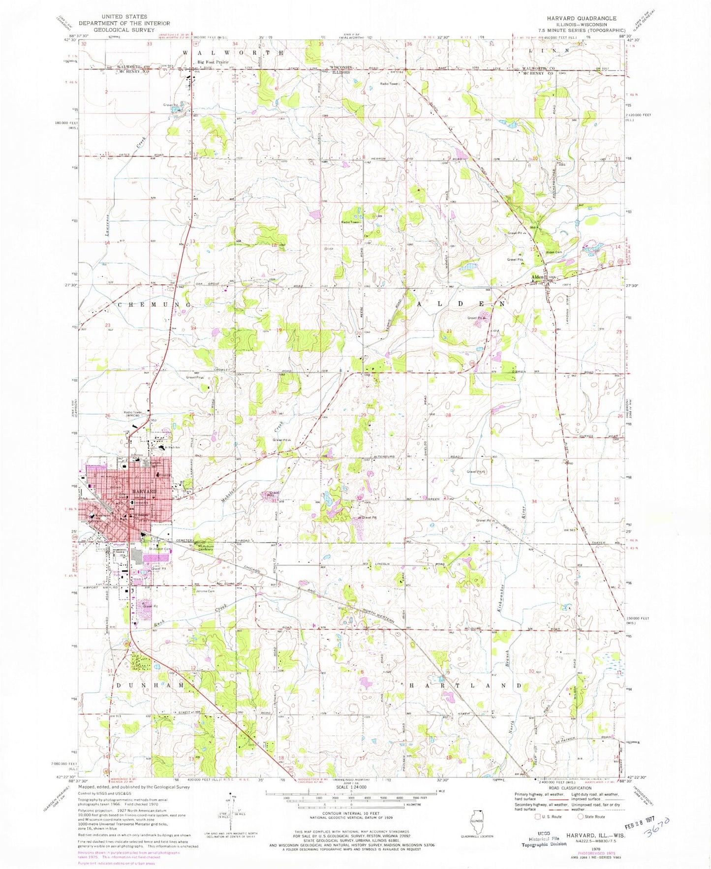
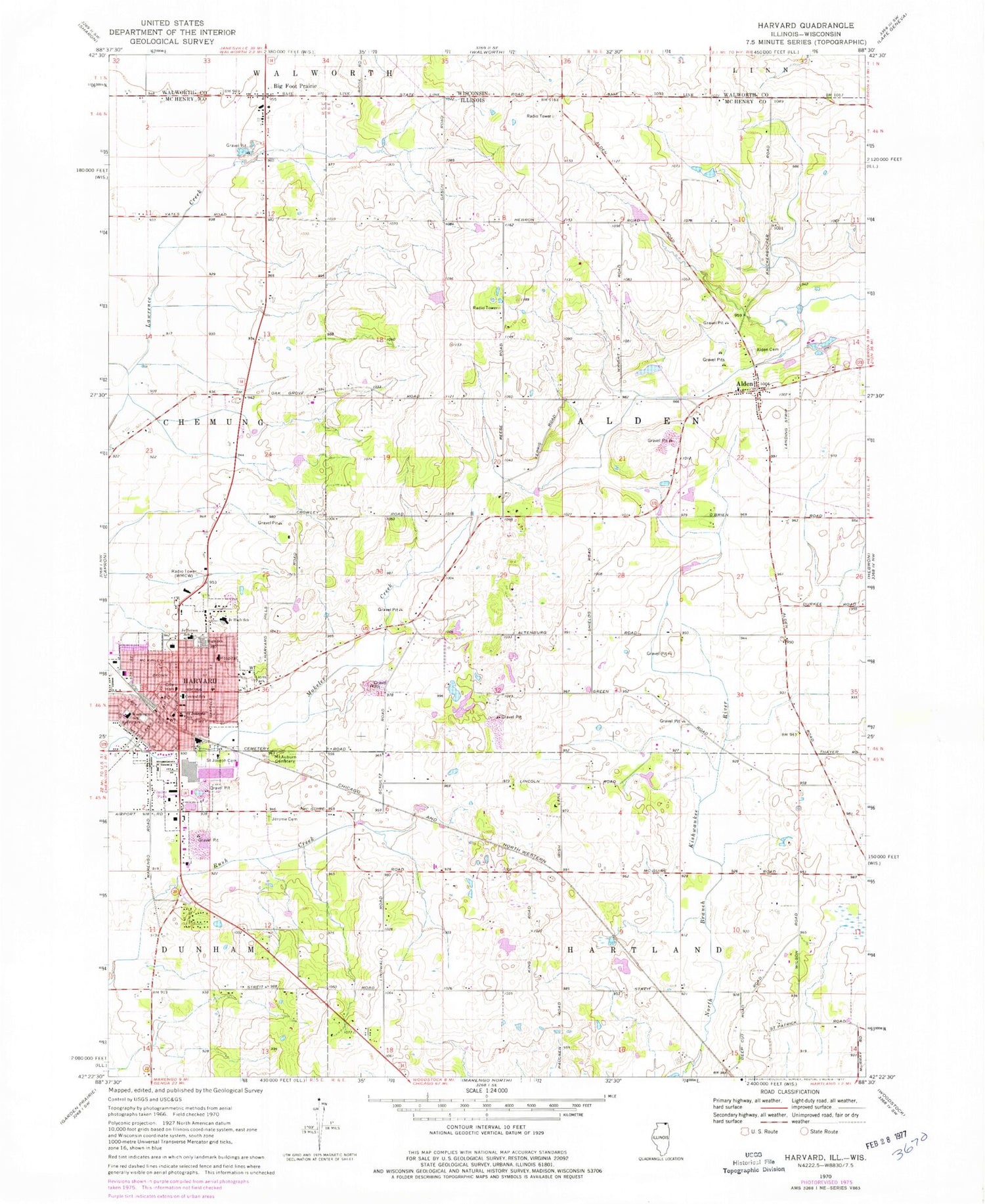
Classic USGS Harvard Illinois 7.5'x7.5' Topo Map
Couldn't load pickup availability
Historical USGS topographic quad map of Harvard in the state of Illinois. Map scale may vary for some years, but is generally around 1:24,000. Print size is approximately 24" x 27"
This quadrangle is in the following counties: McHenry, Walworth.
The map contains contour lines, roads, rivers, towns, and lakes. Printed on high-quality waterproof paper with UV fade-resistant inks, and shipped rolled.
Contains the following named places: Alden, Alden Cemetery, Alden Census Designated Place, Big Foot Cemetery, Big Foot Prairie, Big Foot Prairie Census Designated Place, Bordwell School, Carmack School, Cash School, Central School, Christ Episcopal Church, City of Harvard, Clairman Farm, Clemmons Horse Farm, Deep Cut School, Delehanty School, Delos F Diggins Public Library, First Baptist Church, First Presbyterian Church, First United Methodist Church, Harvard, Harvard Bible Church, Harvard City Hall, Harvard Fire Protection District, Harvard High School, Harvard Historical Museum, Harvard Hospital Heliport, Harvard Junior High School, Harvard Police Department, Harvard Post Office, Hebron - Alden - Greenwood Fire Protection District Station 2, Hi-Way Mobile Home Park, Jefferson School, Jerome Cemetery, King School, Kingsley Lake, Kingsley Lake Dam, Kingsley School, Kirkpatrick Airport, Lions Park, Mary D Ayer Park, Mercyhealth Hospital Harvard, Mount Auburn Cemetery, Newman School, North Dunham School, Oak Grove School, Royal Oak Farm And Fruit Orchard, Rush Creek Conservation Area, Saint Joseph Catholic Church, Saint Joseph Cemetery, Saint Joseph School, Shields School, Sunset View Mobile Home Park, Township of Alden, Trinity Lutheran Church, Wallace Acres Farm, Washington School, Wilson School, WMCW-AM (Harvard), ZIP Code: 60033


