MyTopo
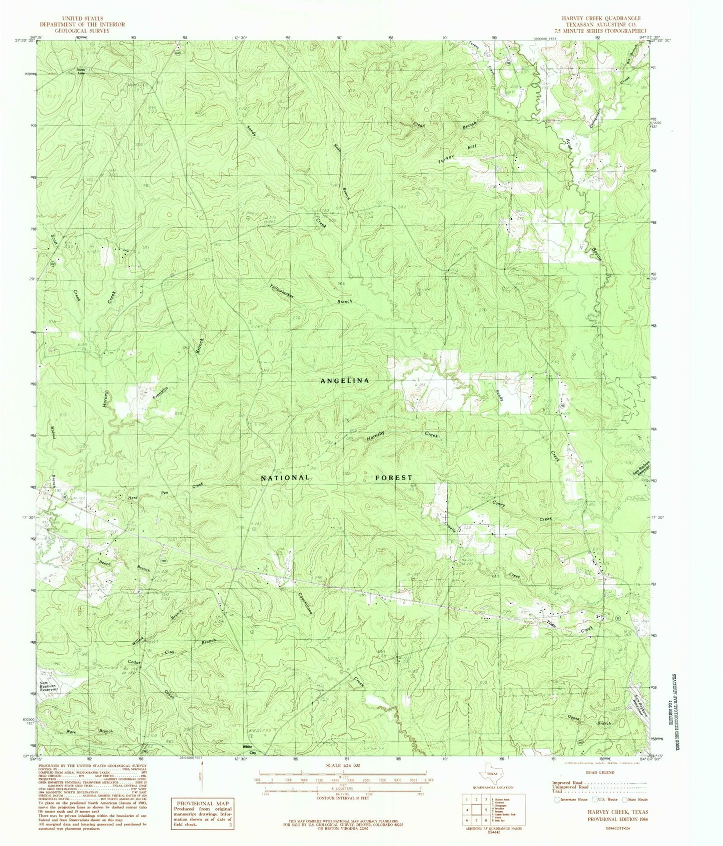
Classic USGS Harvey Creek Texas 7.5'x7.5' Topo Map
Couldn't load pickup availability
Historical USGS topographic quad map of Harvey Creek in the state of Texas. Typical map scale is 1:24,000, but may vary for certain years, if available. Print size: 24" x 27"
This quadrangle is in the following counties: San Augustine.
The map contains contour lines, roads, rivers, towns, and lakes. Printed on high-quality waterproof paper with UV fade-resistant inks, and shipped rolled.
Contains the following named places: Turkey Hill Wilderness, Bannister Lake, Big Branch, Big Branch, Caney Creek, Chinquapin Creek, Clay Branch, Clear Branch, Croker - Boren Cemetery, Crow Cemetery, Franklin Branch, Hebron Church, Herd Pen Creek, Hornsby Creek, Little Creek, Macedonia Cemetery, Massa, Nath Beck Cemetery, Pisgah Cemetery, Pisgah Church, Scott Creek, Turkey Creek, Turkey Hill, Walnut Branch, White City, Willow Branch, Yellowjacket Branch, Bannister Wildlife Management Area, Wash Branch, Hunts Lake, Broaddus Division