MyTopo
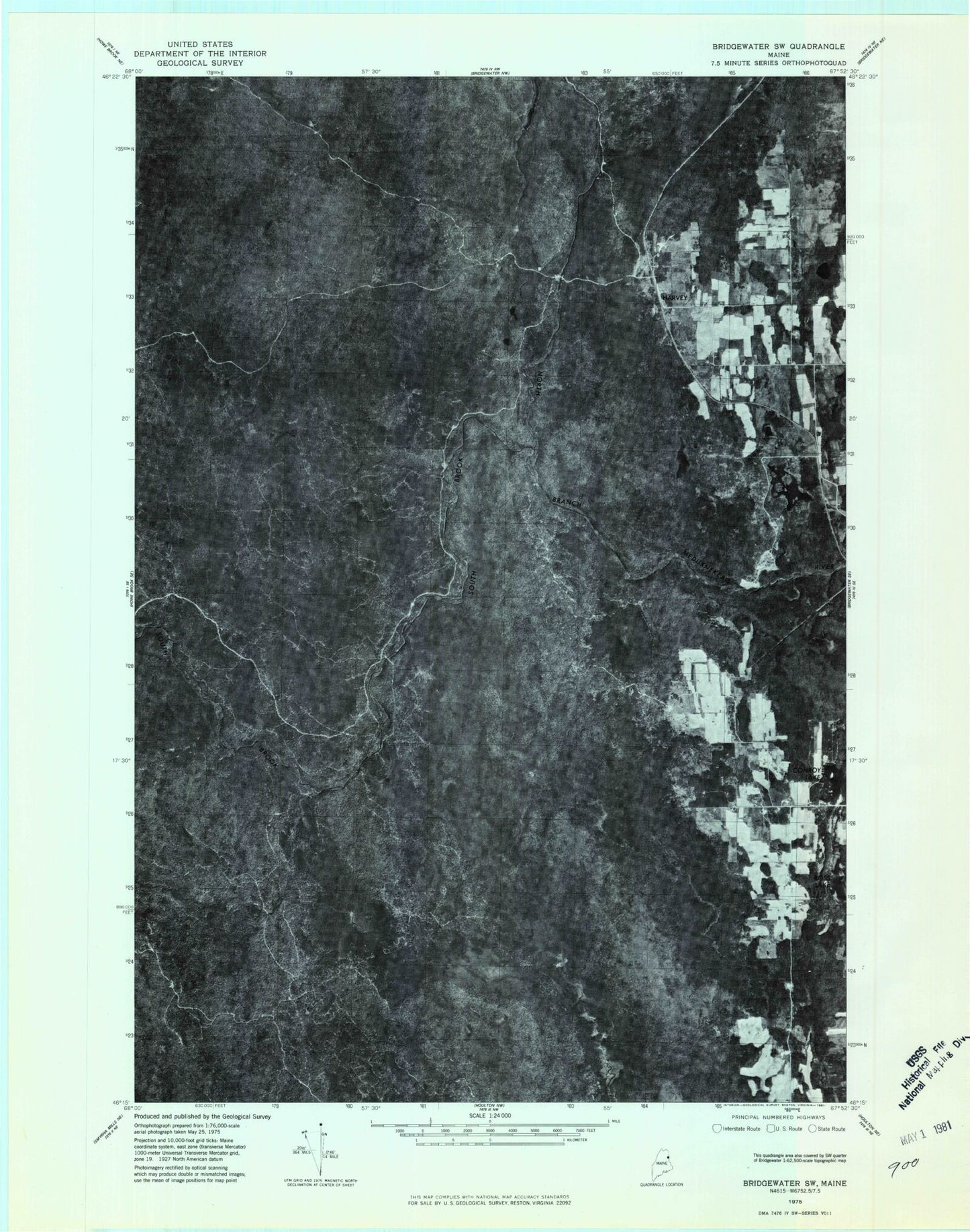
Classic USGS Harvey Maine 7.5'x7.5' Topo Map
Couldn't load pickup availability
Historical USGS topographic quad map of Harvey in the state of Maine. Map scale may vary for some years, but is generally around 1:24,000. Print size is approximately 24" x 27"
This quadrangle is in the following counties: Aroostook.
The map contains contour lines, roads, rivers, towns, and lakes. Printed on high-quality waterproof paper with UV fade-resistant inks, and shipped rolled.
Contains the following named places: Alerton Lake, Bell Brook, Bog Brook, Conroy Lake, Culling Pond, Deep Lake, Gould Brook, Harvey, Hill Brook, Howard Brook, Little Howard Brook, Meadow Brook, Meadowbrook Pond, Morey Brow, Parks Brook, Ross Lake, South Brook, Sugar Loaf, TC R2 WELS, The Lake Road Church, Wellington Ridge, West Road School, ZIP Code: 04760