MyTopo
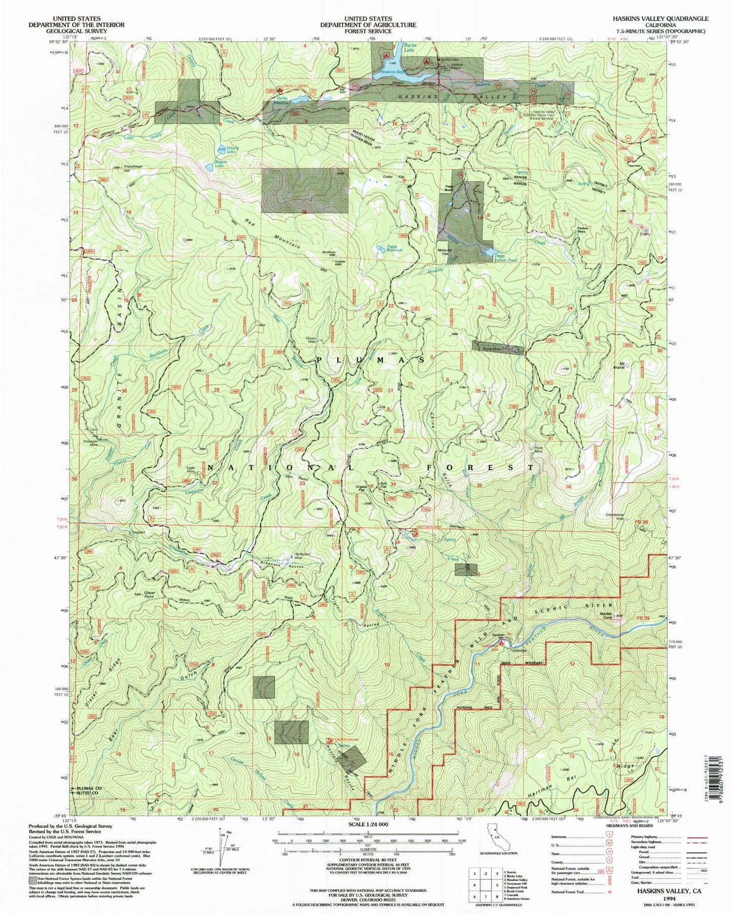
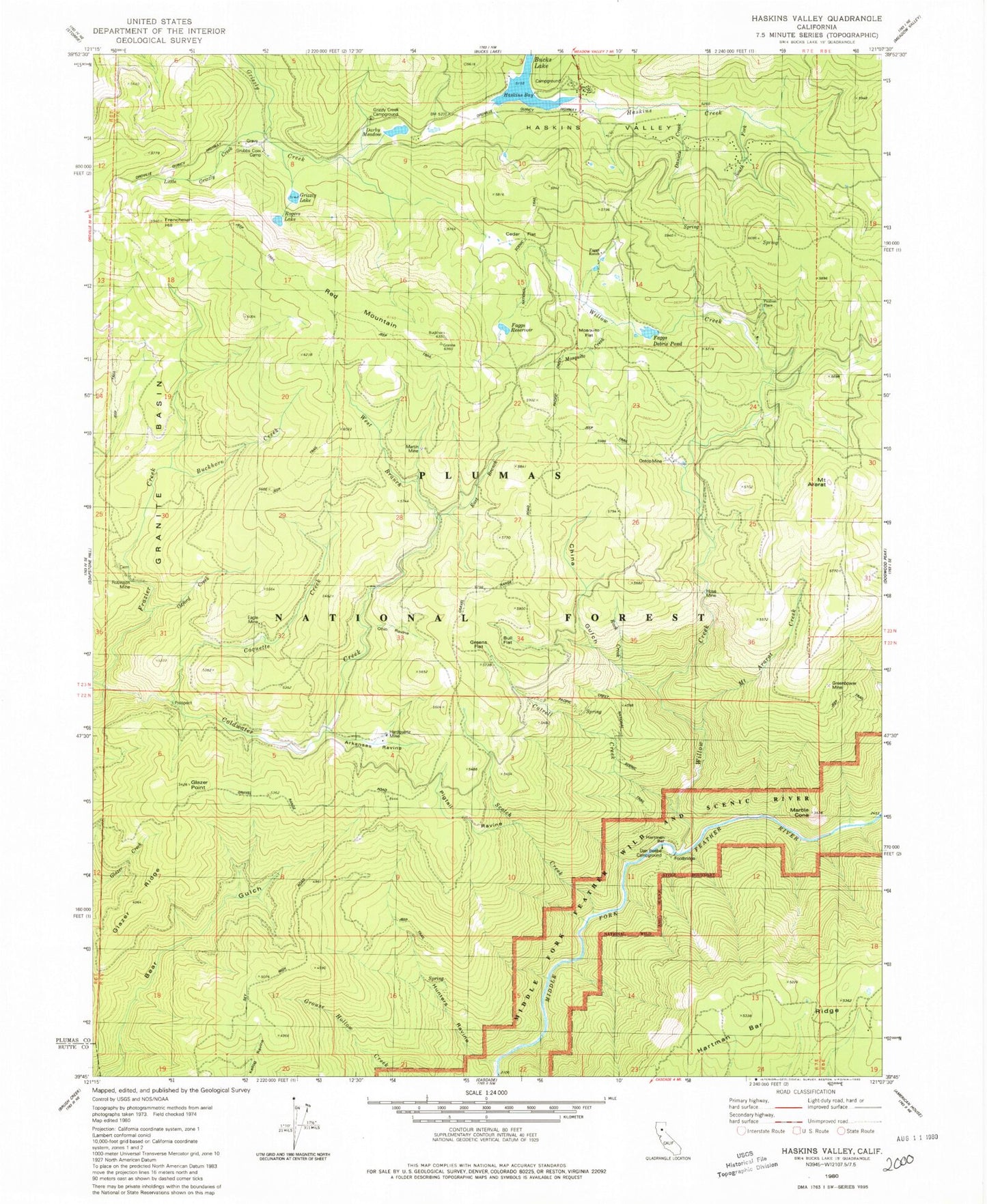
Classic USGS Haskins Valley California 7.5'x7.5' Topo Map
Couldn't load pickup availability
Historical USGS topographic quad map of Haskins Valley in the state of California. Map scale may vary for some years, but is generally around 1:24,000. Print size is approximately 24" x 27"
This quadrangle is in the following counties: Plumas.
The map contains contour lines, roads, rivers, towns, and lakes. Printed on high-quality waterproof paper with UV fade-resistant inks, and shipped rolled.
Contains the following named places: Arkansas Ravine, Axford Ravine, Buckhorn Creek, Bucks Lake, Bucks Lake Census Designated Place, Bucks Lake Fire Department, Bucks Lake Guard Station, Bull Flat, Catrell Creek, Cedar Flat, China Gulch, Coldwater Creek, Coquette Creek, Dan Beebe Campground, Daniels Creek, Darby Meadow, Eagle Mine, Faggs Debris Dam, Faggs Debris Pond, Faggs Ranch, Faggs Reservoir, Frazier Creek, Frenchman Hill, Glazer Point, Glazer Ridge, Gravel Range Creek, Greenbower Mine, Greens Flat, Grizzly Creek Campground, Grizzly Lake, Grubbs Cow Camp, Hardquartz Mine, Hartman Bar, Haskins Bay, Haskins Creek, Haskins Valley, Hose Mine, Hunters Ravine, Little California Mine, Little Grizzly Creek, Marble Cone, Martin Mine, Mosquito Creek, Mosquito Flat, Mount Ararat, Mount Ararat Creek, Ohio Ravine, Ontop Mine, Oxford Creek, Paulson Place, Pigtail Ravine, Red Mountain, Robinson Mine, Robinson Mine Cemetery, Rock Creek, Rogers Lake, Scotch Creek, South Fork Haskins Creek, Willow Creek, ZIP Code: 95956


