MyTopo
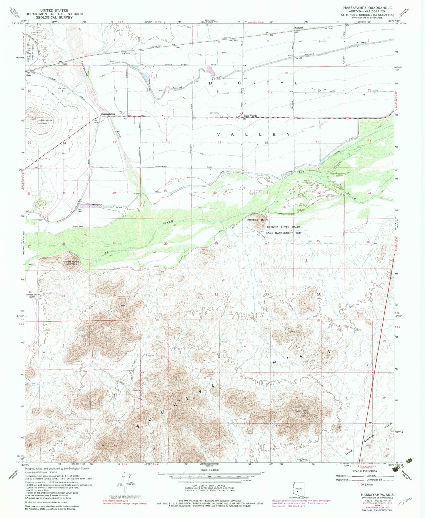
Classic USGS Hassayampa Arizona 7.5'x7.5' Topo Map
Couldn't load pickup availability
Historical USGS topographic quad map of Hassayampa in the state of Arizona. Map scale may vary for some years, but is generally around 1:24,000. Print size is approximately 24" x 27"
This quadrangle is in the following counties: Maricopa.
The map contains contour lines, roads, rivers, towns, and lakes. Printed on high-quality waterproof paper with UV fade-resistant inks, and shipped rolled.
Contains the following named places: Arlington Canal, Arlington Mesa, Buckeye Hills, Buckeye Hills Regional Park, Buckeye Valley, Buckeye Valley Fire District Station 325, Conger, Gila River Waterfowl Management Area, Good Earth Mine, Hassayampa, Hassayampa River, Palo Verde, Palo Verde Baptist Church, Palo Verde Baptist Church Cemetery, Palo Verde Elementary School, Powers Butte, Powers Butte Farms, Robbins Butte, Robbins Butte State Game Management Unit, ZIP Code: 85343