MyTopo
Classic USGS Hastings Minnesota 7.5'x7.5' Topo Map
Couldn't load pickup availability
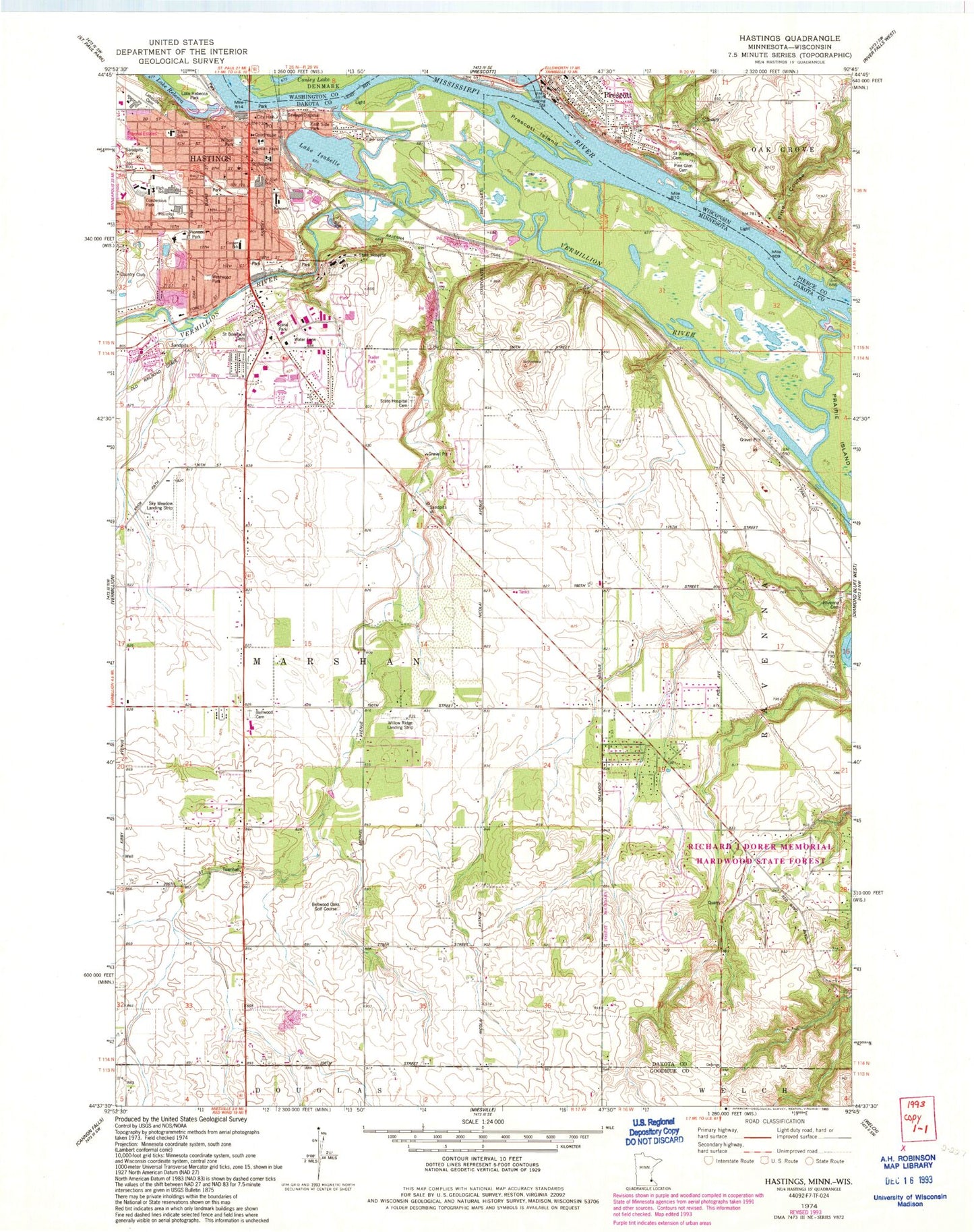
Historical USGS topographic quad map of Hastings in the states of Minnesota, Wisconsin. Map scale may vary for some years, but is generally around 1:24,000. Print size is approximately 24" x 27"
This quadrangle is in the following counties: Dakota, Goodhue, Pierce, Washington.
The map contains contour lines, roads, rivers, towns, and lakes. Printed on high-quality waterproof paper with UV fade-resistant inks, and shipped rolled.
Contains the following named places: Allina Medical Center - Hastings, Assembly of God Church, Augustana Home of Hastings, Bellwood Cemetery, Bellwood Oaks Golf Course, Bull Frog Lake, C.P. Adams Park, Calvary Baptist Church, Cannon Park, Carl Park, Christ's Family Church, City of Hastings, ConAgra Park, Conzemius Park, Cooper School, Cornerstone Bible Church, Dakota County Courthouse, Dakota County Region Geographical Marker, Discovery Church, Dry Run Coulee, First Baptist Church, First Presbyterian Church, Freedom Park, Greenwood Campground, Hastings, Hastings Alternative Center, Hastings Area Learning Center, Hastings City Hall, Hastings Country Club, Hastings Fire Department and Emergency Medical Services, Hastings Middle School, Hastings Mobile Home Terrace, Hastings Police Department, Hastings Post Office, Hidden Greens Golf Course, Imperial Estates Park, Irish Catholic Cemetery, Jaycee Park, Jehovah's Witnesses, KDWA-AM (Hastings), Kennedy Elementary School, Lake Isabel Park, Lake Isabelle, Lakeside Cemetery, Levee Park, Lions Park, Marsh Cemetery, Mercord Mill Park, Old Mill Park, Orchardview Farm, Our Saviour's Lutheran Church, Pine Coulee, Pine Glen Cemetery, Pinecrest Elementary School, Pioneer Park, Prescott, Prescott Island, Prescott Middle School, Public Square Park, Ravenna Cemetery, Regina Hospital, Riverwood Park, Roadside Park, Ruth Homes, Saint Boniface School, Saint Croix River, Saint Elizabeth Ann Seton Catholic Cemetery, Saint Elizabeth Ann Seton School, Saint John Evangelical Lutheran Church, Saint Joseph Catholic School, Saint Josephs Catholic Church, Saint Josephs Cemetery, Saint Luke's Cemetery, Saint Luke's Episcopal Church, Saint Luke's Episcopal Parish, Sandy Flats Airport, Sky Meadow Airport, Soldiers and Sailors Cemetery, Spiral Park, State Hospital, State Hospital Cemetery, Stepping Stone Child Development Center, Sunny Acres Park, Three Rivers Mobile Home Park, Tilden Community Center, Township of Marshan, Township of Ravenna, Truedale Slough, United Methodist Church, Vermillion Falls Park, Vermillion River Dam, Veteran's Park, Westwood Park, Willow Ridge Airport, Wilson Park, ZIP Code: 55033


