MyTopo
Classic USGS Hastings Pennsylvania 7.5'x7.5' Topo Map
Couldn't load pickup availability
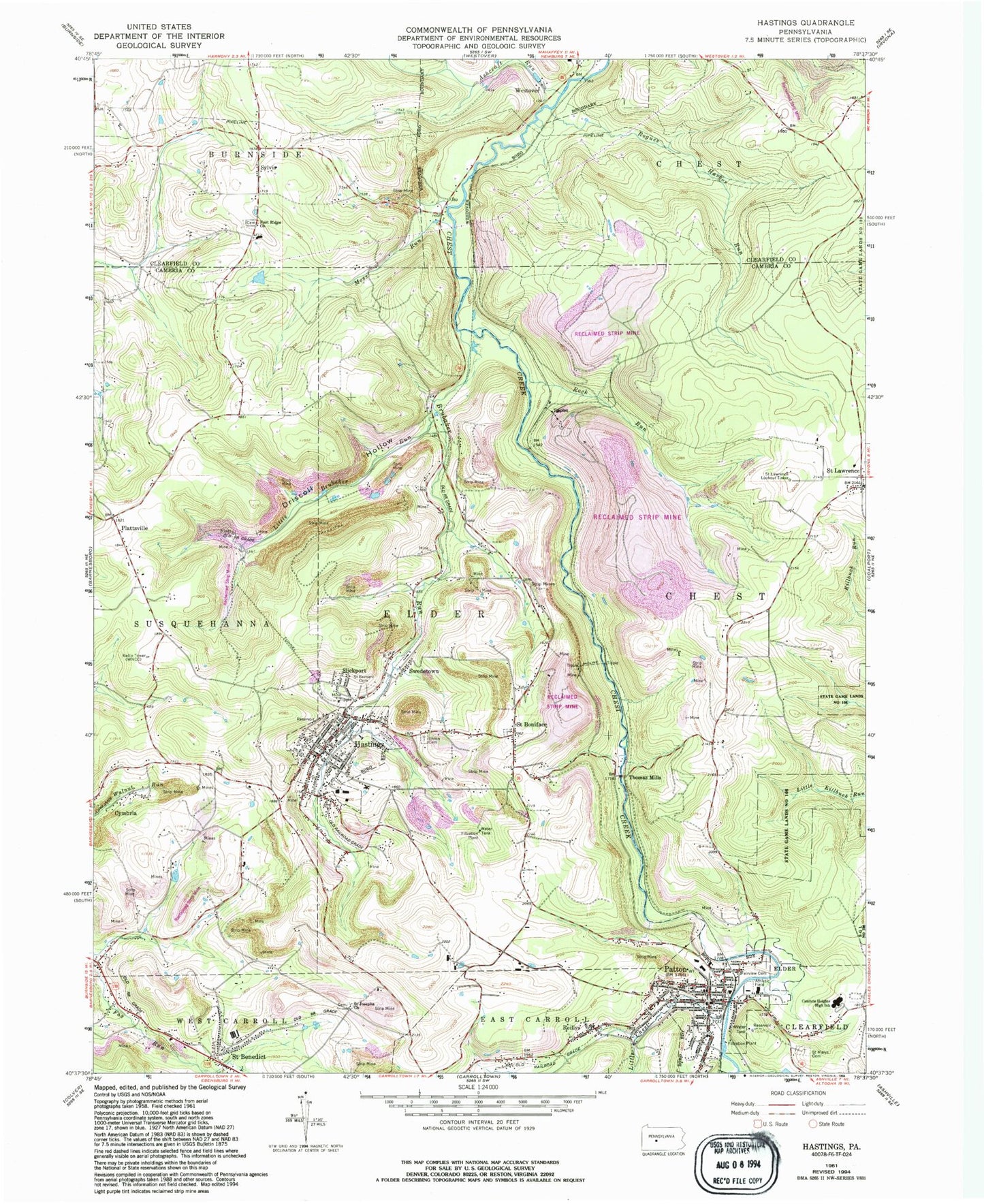
Historical USGS topographic quad map of Hastings in the state of Pennsylvania. Map scale may vary for some years, but is generally around 1:24,000. Print size is approximately 24" x 27"
This quadrangle is in the following counties: Cambria, Clearfield.
The map contains contour lines, roads, rivers, towns, and lakes. Printed on high-quality waterproof paper with UV fade-resistant inks, and shipped rolled.
Contains the following named places: Aldburn, Ashcraft Run, Borough of Hastings, Borough of Patton, Borough of Westover, Brubaker Run, Cambria Heights 7th and 8th Wards Middle School, Cambria Heights Senior High School, Cambrian Hills Golf, Conemaugh Miners Medical Center, Cymbria, Driscoll Hollow, East Ridge Cemetery, East Ridge Church, Fairview Cemetery, Father's Love Airport, Flanigans River, Garway, Hastings, Hastings Area Ambulance Association Station 69, Hastings Post Office, Hastings Volunteer Fire Company Station 55, Karen Number 1 Mine Station, Little Brubaker Run, Little Chest Creek, Moss Run, Patton, Patton Area Ambulance Association Station 67, Patton Borough Police Department, Patton Elementary School, Patton Fire Company Station 62, Patton Post Office, Plattsville, Reillys, Rock Run, Rogues Harbor Run, Saint Benedict, Saint Benedict Post Office, Saint Benedict Presbyterian Church, Saint Bernard Cemetery, Saint Boniface, Saint Boniface Cemetery, Saint Joseph Cemetery, Saint Josephs Church, Saint Lawrence, Saint Lawrence Lookout Tower, Saint Marys Cemetery, Saints Peter and Paul Byzantine Catholic Cemetery, Slickport, State Game Lands Number 108, Swedetown, Sylvis, Thomas Mills, Township of Elder, Union - Salem Cemetery, Union Cemetery, WNCC-AM (Barnesboro), ZIP Codes: 15773, 16646


