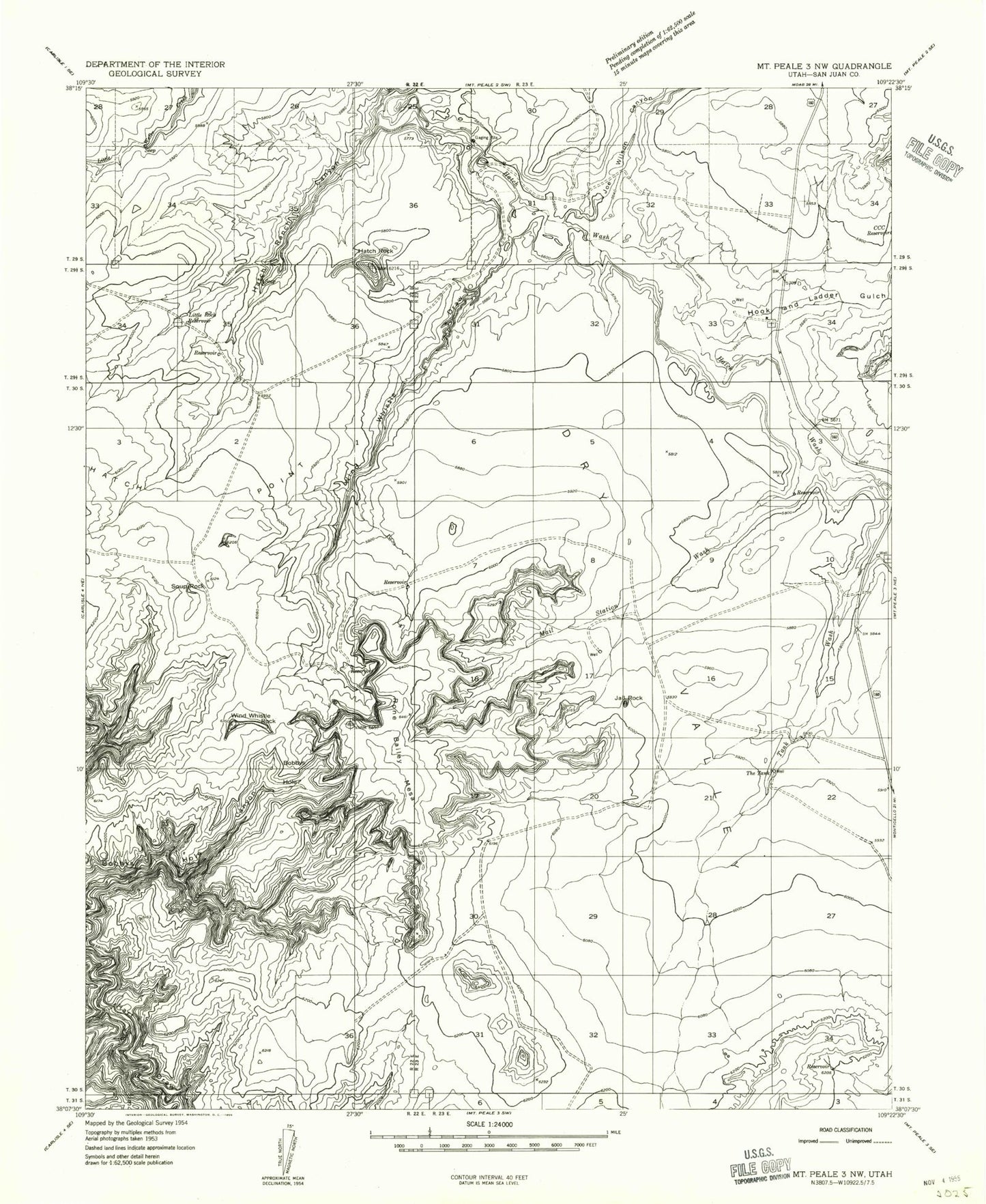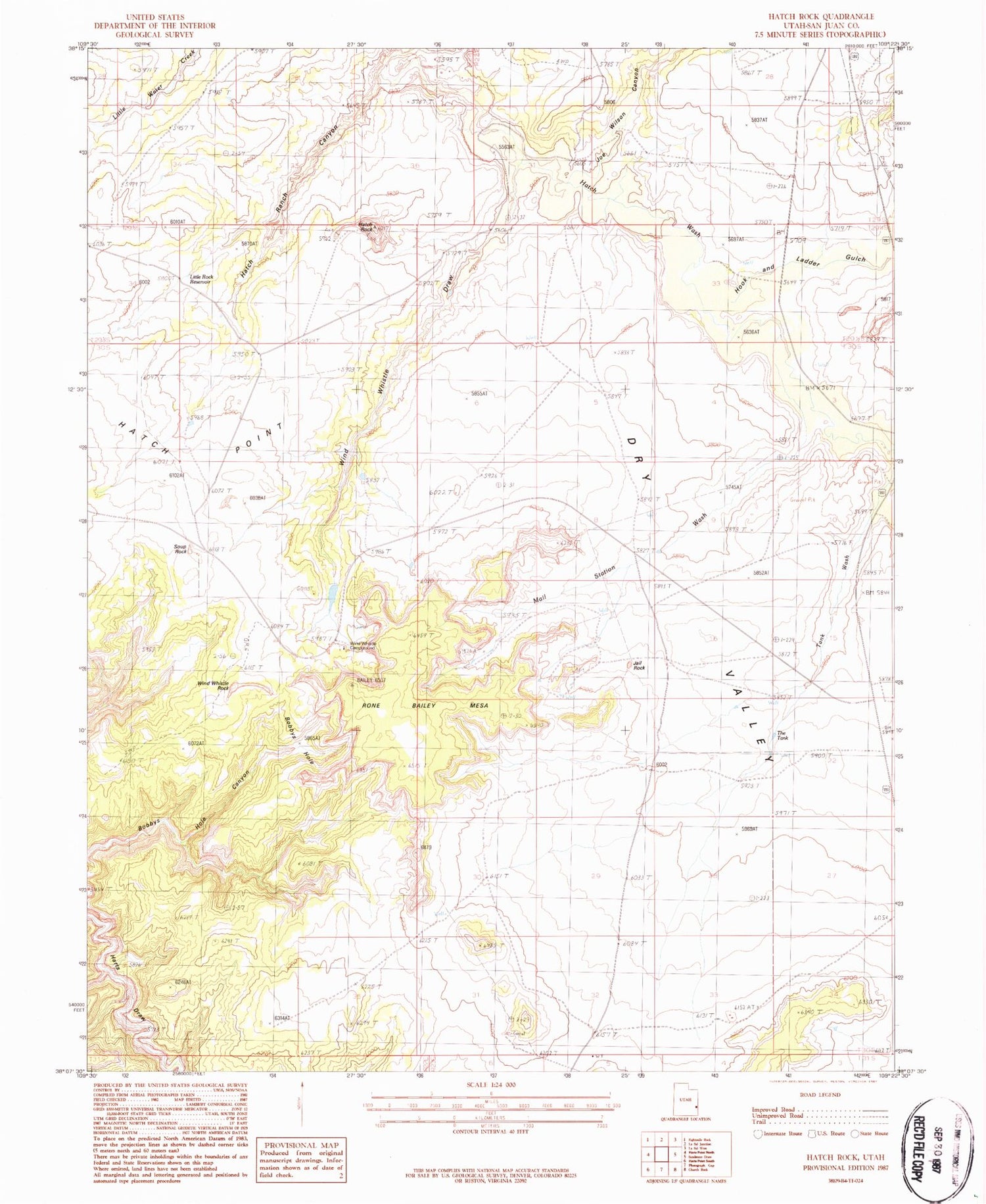
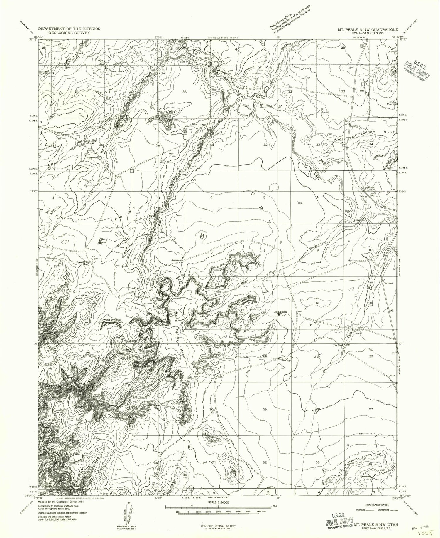
MyTopo
Classic USGS Hatch Rock Utah 7.5'x7.5' Topo Map
Regular price
$16.95
Regular price
Sale price
$16.95
Unit price
per
Couldn't load pickup availability
Historical USGS topographic quad map of Hatch Rock in the state of Utah. Map scale may vary for some years, but is generally around 1:24,000. Print size is approximately 24" x 27"
This quadrangle is in the following counties: San Juan.
The map contains contour lines, roads, rivers, towns, and lakes. Printed on high-quality waterproof paper with UV fade-resistant inks, and shipped rolled.
Contains the following named places: Bobbys Hole, CCC Reservoir, Dry Valley, Hatch Ranch Canyon, Hatch Rock, Hook and Ladder Gulch, Jail Rock, Joe Wilson Canyon, Little Rock Reservoir, Mail Station Wash, Rone Bailey Mesa, Soup Rock, Tank Wash, The Tank, Wind Whistle Campground, Wind Whistle Draw, Wind Whistle Rock