MyTopo
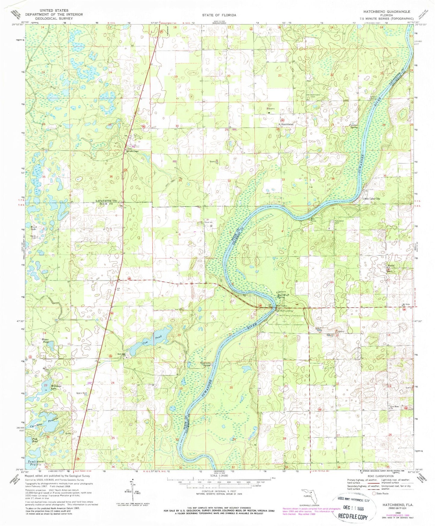
Classic USGS Hatchbend Florida 7.5'x7.5' Topo Map
Couldn't load pickup availability
Historical USGS topographic quad map of Hatchbend in the state of Florida. Map scale may vary for some years, but is generally around 1:24,000. Print size is approximately 24" x 27"
This quadrangle is in the following counties: Dixie, Gilchrist, Lafayette.
The map contains contour lines, roads, rivers, towns, and lakes. Printed on high-quality waterproof paper with UV fade-resistant inks, and shipped rolled.
Contains the following named places: Careless Prairie, Country Landings, Cow Pond, Darrah Air Park, Fletcher Spring, Guaranto Spring, Hatch Bend Volunteer Fire Department, Hatchbend, Little Lake City, McCalls Chapel, Mount Nebo Church, New Hope Church, Old Hatchbend Cemetery, Rock Bluff Landing, Rock Bluff Spring, Rock Sink Church, Shady Bend Airport, Simms Landing, Suwannee River Research Educational Center, Tomlinson Prairie, Townsend Cemetery, Wards Cemetery, Water Pond, Wayfair Church, Williams Lake


