MyTopo
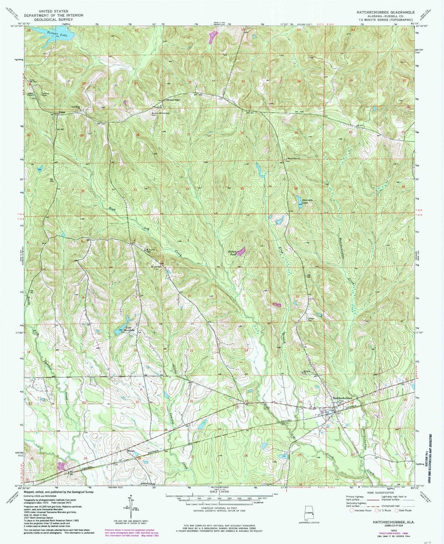
Classic USGS Hatchechubbee Alabama 7.5'x7.5' Topo Map
Couldn't load pickup availability
Historical USGS topographic quad map of Hatchechubbee in the state of Alabama. Map scale may vary for some years, but is generally around 1:24,000. Print size is approximately 24" x 27"
This quadrangle is in the following counties: Russell.
The map contains contour lines, roads, rivers, towns, and lakes. Printed on high-quality waterproof paper with UV fade-resistant inks, and shipped rolled.
Contains the following named places: Butlers Pond, Carden Cemetery, Good Hope Baptist Church, Good Hope Cemetery, Hatchechubbee, Hatchechubbee Church, Hatchechubbee Post Office, Hatchechubbee Volunteer Fire Department Station 1, Hatchichapa, High Log Creek, Howard Chapel, Hurtsboro Division, Joshua Cemetery, King Branch, Lake Morgloba, Margloba Dam, Mount Arie Church, Mount Olive Church, Mount Sinai Church, Polecat Branch, Porters Mill Creek, Saint Luke Church, Sandford Post Office, Skinners Lake, Smiths Pond, Torbert Lake, Torberts Lake Dam, Uchee, Uchee Cemetery, Uchee Church, Uchee Methodist Church, Walker Williamson Cemetery, Welcome Church, Wende, Wende School, ZIP Code: 36858