MyTopo
Classic USGS Hatchet Mountain Pass California 7.5'x7.5' Topo Map
Couldn't load pickup availability
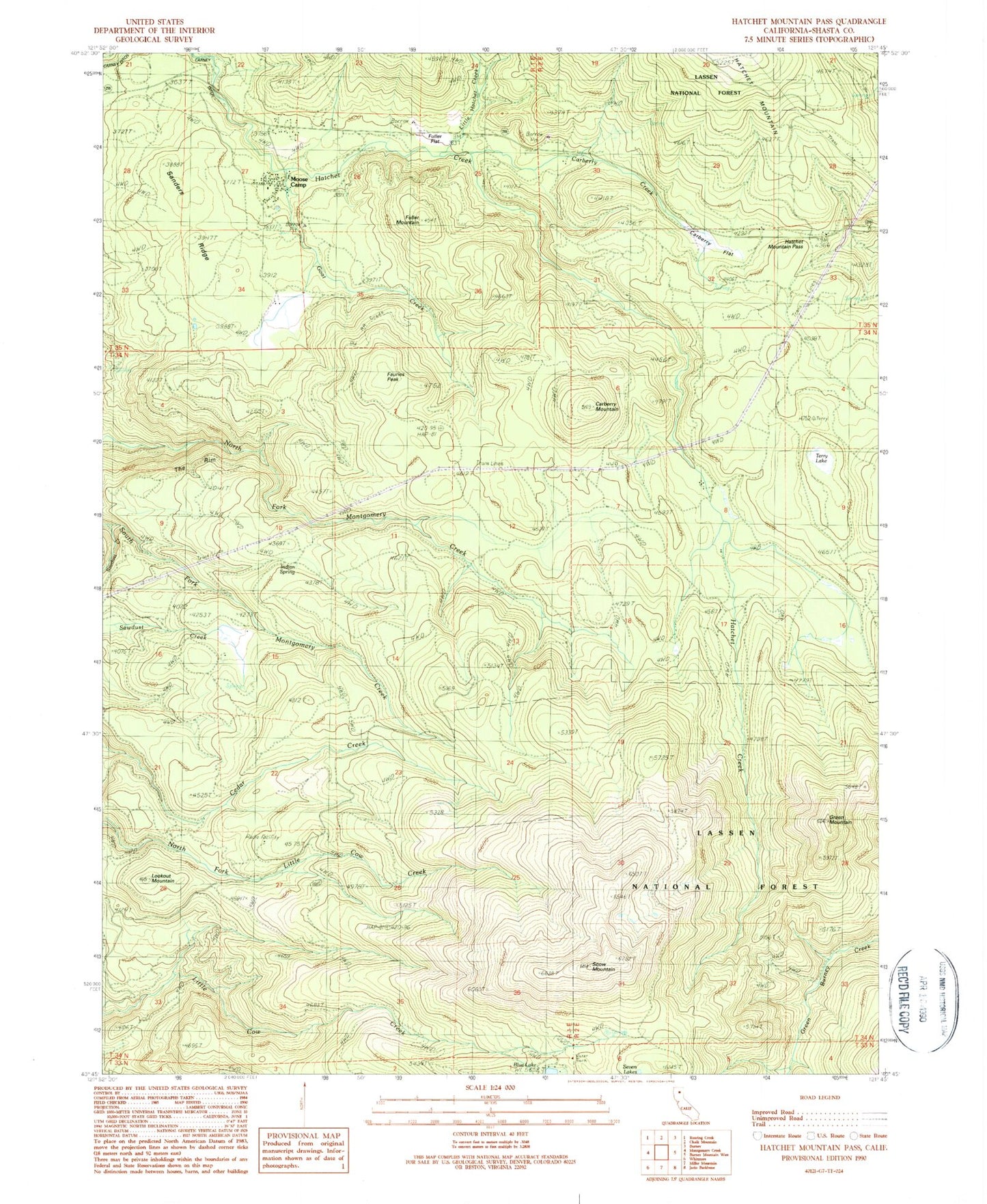
Historical USGS topographic quad map of Hatchet Mountain Pass in the state of California. Map scale may vary for some years, but is generally around 1:24,000. Print size is approximately 24" x 27"
This quadrangle is in the following counties: Shasta.
The map contains contour lines, roads, rivers, towns, and lakes. Printed on high-quality waterproof paper with UV fade-resistant inks, and shipped rolled.
Contains the following named places: Carberry Creek, Carberry Flat, Carberry Mountain, Fauries Peak, Fuller Flat, Fuller Mountain, Goat Creek, Green Mountain, Hatchet Mountain Pass, Indian Spring, KIBC-FM (Burney), KNCA-FM (Burney), Little Hatchet Creek, Lookout Mountain, Moose Camp, Sanders Ridge, Snow Mountain, Terry Lake, The Rim