MyTopo
Classic USGS Hatchie Coon Arkansas 7.5'x7.5' Topo Map
Couldn't load pickup availability
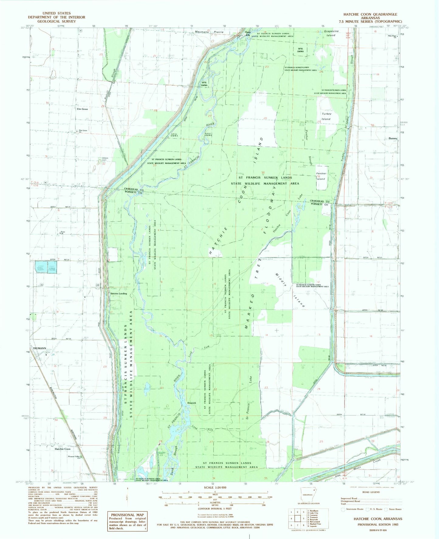
Historical USGS topographic quad map of Hatchie Coon in the state of Arkansas. Map scale may vary for some years, but is generally around 1:24,000. Print size is approximately 24" x 27"
This quadrangle is in the following counties: Craighead, Poinsett.
The map contains contour lines, roads, rivers, towns, and lakes. Printed on high-quality waterproof paper with UV fade-resistant inks, and shipped rolled.
Contains the following named places: Bunney, Deep Landing, Ditch Number 1, Ditch Number 23, Ditch Number 31, Ditch Number 32, Ditch Number 33, Ditch Number 54, Ditch Number 55, Ditch Number 59, Ditch Number 60, Ditch Number 8, Donnick, Elk Grove School, Elm Grove, Elm Grove Church, Fairfield Christian Union Church, Freer Baptist Church, Freer School, Grapevine Island, Hatchie Coon, Hatchie Coon Hunting Lodge, Hatchie Coon Island, Hatchie Coon Lake, Lead Fork, Longwill, Middle Island, New Hope Church, Panther Island, Panther Slough, Pleasant Valley Baptist Church, Purcell Slough, Right Hand Chute Little River, Saint Francis Lake, Saint Francis Sunk Lands, Shaw School, Stevens Landing, Thorn School, Township of Taylor, Tulot Church, Turkey Island, Turkey Island Slough