MyTopo
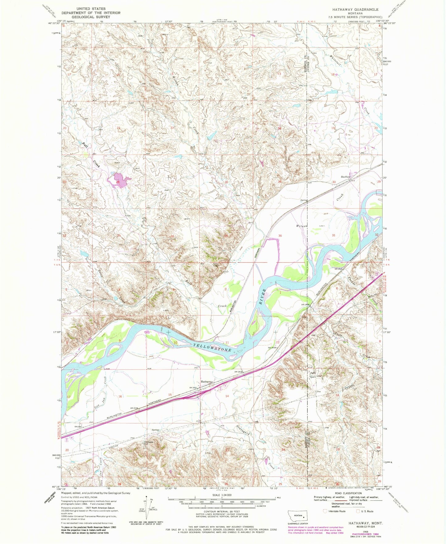
Classic USGS Hathaway Montana 7.5'x7.5' Topo Map
Couldn't load pickup availability
Historical USGS topographic quad map of Hathaway in the state of Montana. Map scale may vary for some years, but is generally around 1:24,000. Print size is approximately 24" x 27"
This quadrangle is in the following counties: Custer, Rosebud.
The map contains contour lines, roads, rivers, towns, and lakes. Printed on high-quality waterproof paper with UV fade-resistant inks, and shipped rolled.
Contains the following named places: 06N44E14BCBC01 Well, 06N44E20DCB_01 Well, 06N44E22BAC_01 Well, 07N44E36C___01 Well, 59333, Bull Creek, Calabar School, Goose Creek, Graveyard Creek, Hathaway, Hathaway Cemetery, Hathaway Post Office, Hathaway School, Hook Number 2 Dam, Hook Number 62 Dam, Hook Number 67 Dam, Iron Jaw Creek, Lock Bluff, Sheffield, Sheffield Post Office, Snell Creek, Theade Creek, Wilson Creek