MyTopo
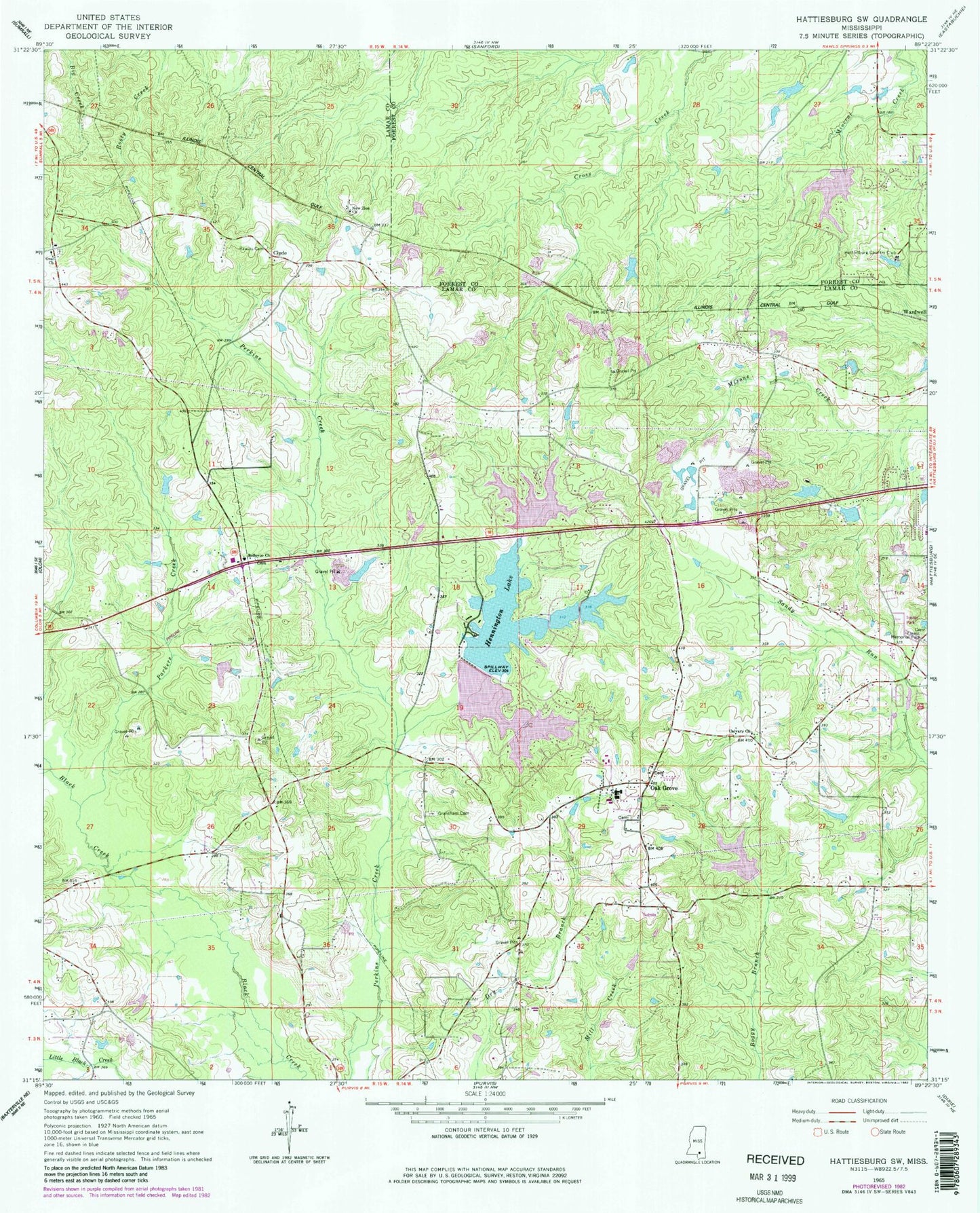
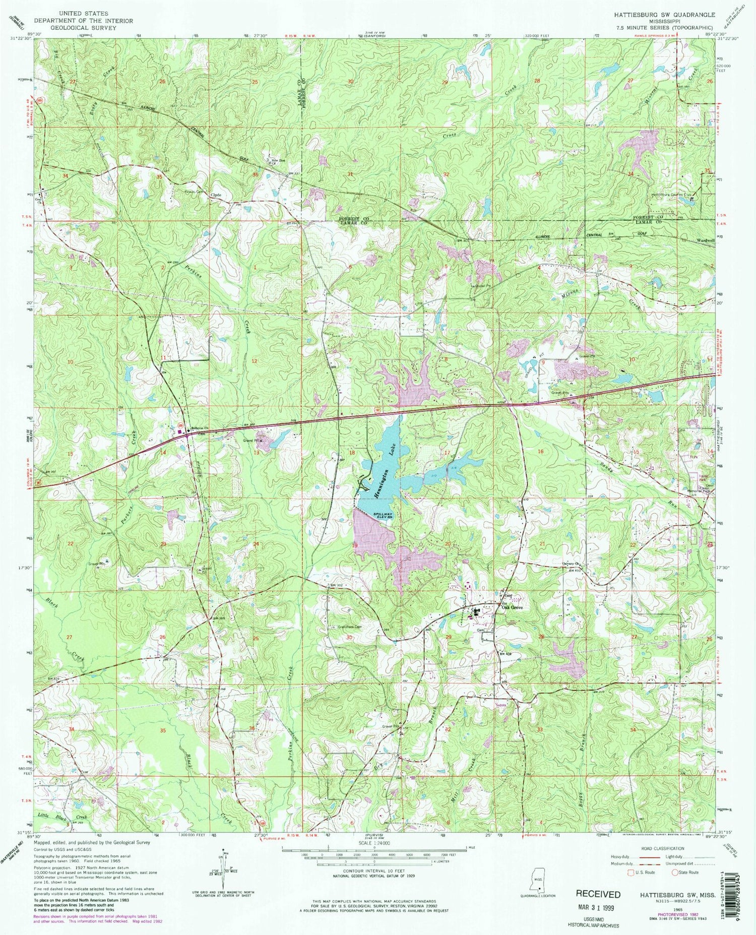
Classic USGS Hattiesburg SW Mississippi 7.5'x7.5' Topo Map
Couldn't load pickup availability
Historical USGS topographic quad map of Hattiesburg SW in the state of Mississippi. Map scale may vary for some years, but is generally around 1:24,000. Print size is approximately 24" x 27"
This quadrangle is in the following counties: Forrest, Lamar.
The map contains contour lines, roads, rivers, towns, and lakes. Printed on high-quality waterproof paper with UV fade-resistant inks, and shipped rolled.
Contains the following named places: A G McInturff Dam, Arnold Line Census Designated Place, Belleview Baptist Church, Bellvue Cemetery, Bennett York Dam, Breland, Calvary Baptist Church, Canebrake Country Club, Clyde, Cole Lake, Country Club Estates, East Lakewood, Forest Memorial Park, Grantham Cemetery, Grantham School, Hattiesburg Country Club, Hattiesburg Fire Department Station 8, Hattlesburg Country Club, Hennington Lake, Heritage United Methodist Church, Kilsby Mobile Home Park, Lake Serene Dam, Lake Serene East Dam, Lake Serene North, Lake Serene North Dam, Lake Serene South, Lake Serene South Dam, Lake Serene Southeast Dam, Leon Eubanks Pond Dam, Magnolia Baptist Church, Montague School, Mount Vernon Church, New Zion Church, Northeast Lamar Fire Rescue and Emergency Medical Services Station 2, Oak Forrest, Oak Grove, Oak Grove Attendance Center, Oak Grove Baptist Church, Oak Grove Cemetery, Oak Grove Census Designated Place, Oak Grove Church, Oak Grove United Methodist Church, Oak Grove Volunteer Fire Department Hattiesburg, Old Eaton Cemetery, Oral Cemetery, Parkers Creek, Pecan Grove Mobile Home Park, Rawles Cemetery, Ridgecrest Mobile Home Park, Serena Circle Mobile Home Park, Shadow Ridge Golf Club, Supervisor District 1, The Church of Jesus Christ of Latter Day Saints, Victory School, W J Morris Pond Dam, Wardwell, West Hattiesburg, West Point Baptist Church, ZIP Code: 39402


