MyTopo
Classic USGS Hatton North Dakota 7.5'x7.5' Topo Map
Couldn't load pickup availability
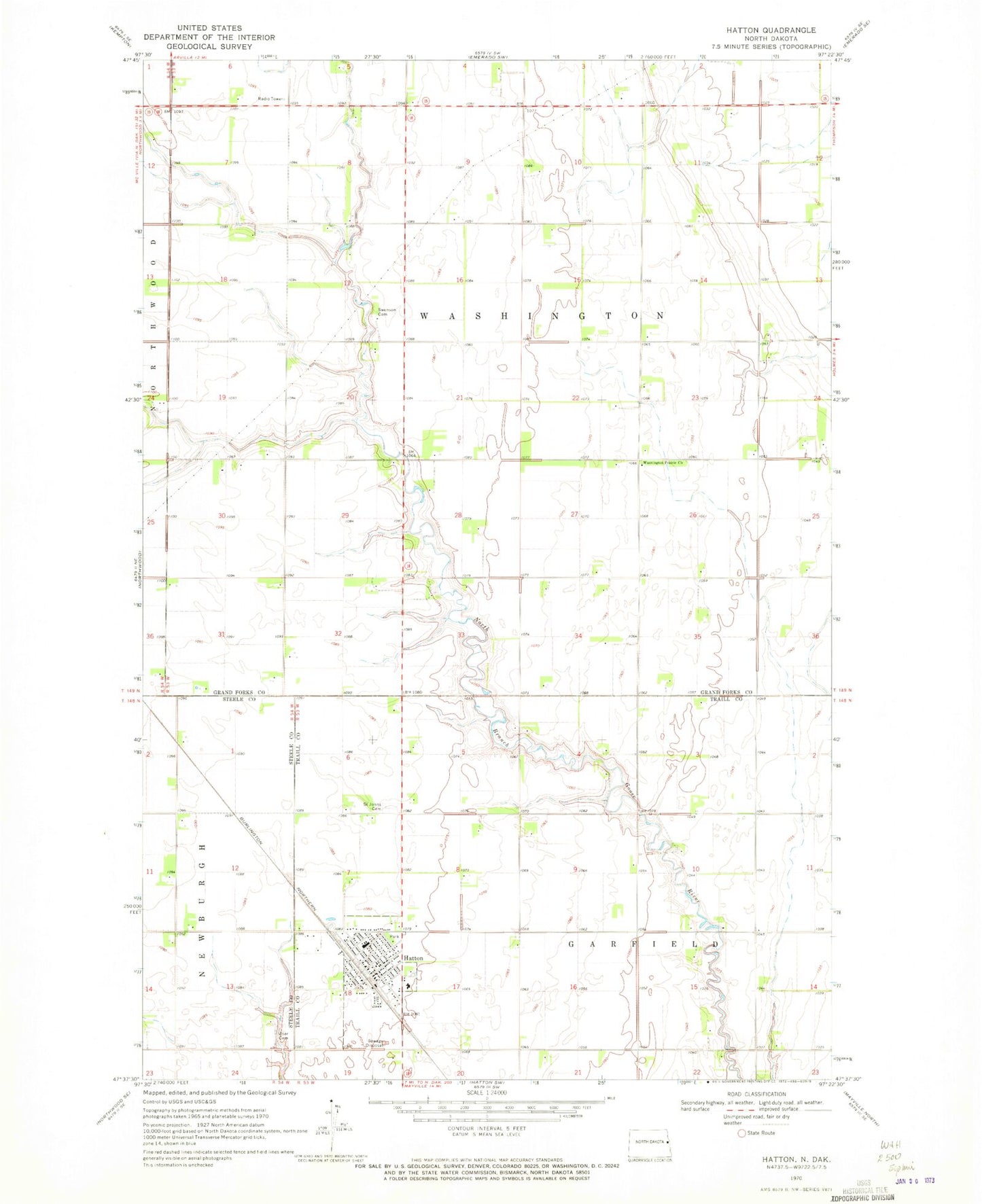
Historical USGS topographic quad map of Hatton in the state of North Dakota. Map scale may vary for some years, but is generally around 1:24,000. Print size is approximately 24" x 27"
This quadrangle is in the following counties: Grand Forks, Steele, Traill.
The map contains contour lines, roads, rivers, towns, and lakes. Printed on high-quality waterproof paper with UV fade-resistant inks, and shipped rolled.
Contains the following named places: Carl Ben Eielson Cemetery, City of Hatton, Hatton, Hatton Centennial Community Center, Hatton City Hall, Hatton Eielson Public Schoool, Hatton Post Office, Hatton School and Public Library, Hatton Volunteer Fire Department, Hatton-Eielson Museum, Swenson Cemetery, Township of Garfield, Township of Washington, Tri-County Health Care, Washington Prairie Cemetery, Washington Prairie Church, Zoar Lutheran Cemetery, ZIP Code: 58240