
MyTopo
Classic USGS Hauck Coulee Montana 7.5'x7.5' Topo Map
Regular price
$16.95
Regular price
Sale price
$16.95
Unit price
per
Couldn't load pickup availability
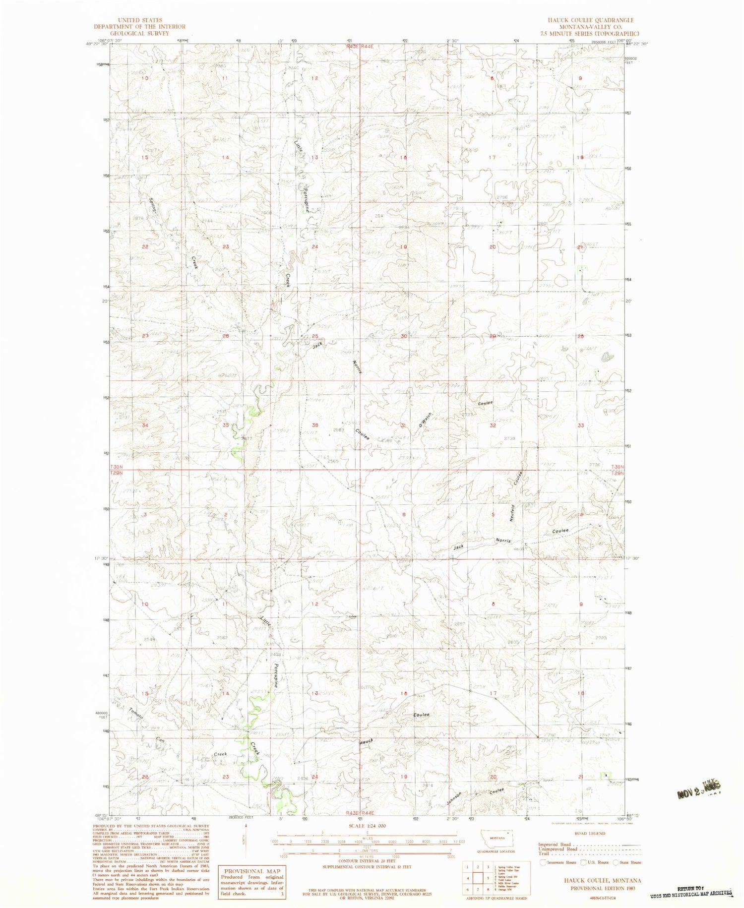
Historical USGS topographic quad map of Hauck Coulee in the state of Montana. Map scale may vary for some years, but is generally around 1:24,000. Print size is approximately 24" x 27"
This quadrangle is in the following counties: Valley.
The map contains contour lines, roads, rivers, towns, and lakes. Printed on high-quality waterproof paper with UV fade-resistant inks, and shipped rolled.
Contains the following named places: 29N44E09ACDC01 Well, 29N44E09ACDD01 Well, 29N44E16DDDC01 Well, 30N44E07DDD_01 Well, 30N44E09CBAB01 Well, 30N44E20ACBA01 Well, 30N44E28DCDB01 Well, Hauck Coulee, Jack Norris Coulee, Neufeld Coulee, O'Watch Coulee, Pleasant Valley School, Spring Creek, Star School, Tomato Can Creek


