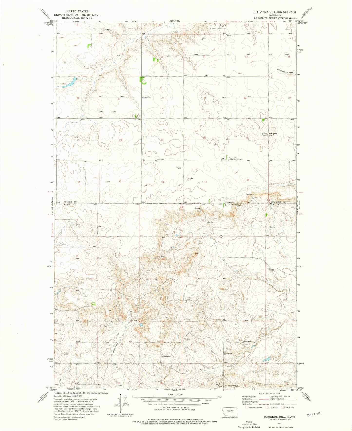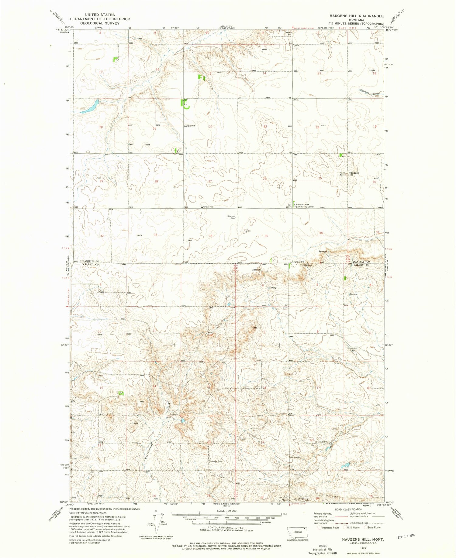
MyTopo
Classic USGS Haugens Hill Montana 7.5'x7.5' Topo Map
Regular price
$16.95
Regular price
Sale price
$16.95
Unit price
per
Couldn't load pickup availability
Historical USGS topographic quad map of Haugens Hill in the state of Montana. Map scale may vary for some years, but is generally around 1:24,000. Print size is approximately 24" x 27"
This quadrangle is in the following counties: Daniels, Valley.
The map contains contour lines, roads, rivers, towns, and lakes. Printed on high-quality waterproof paper with UV fade-resistant inks, and shipped rolled.
Contains the following named places: 20N45E11BADC01 Well, 32N44E03BDCA01 Well, 32N45E05BBCC01 Well, 33N44E22BBBC01 Well, 33N44E25CCCC01 Well, 33N44E33BBAD01 Well, Ajerton Post Office, Cottonwood School, Haugens Hill, Miner Farms Number 1 Dam, Pleasant View Community Center, Saubak Airport