MyTopo
Classic USGS Hauke Mesa Arizona 7.5'x7.5' Topo Map
Regular price
$16.95
Regular price
Sale price
$16.95
Unit price
per
Couldn't load pickup availability
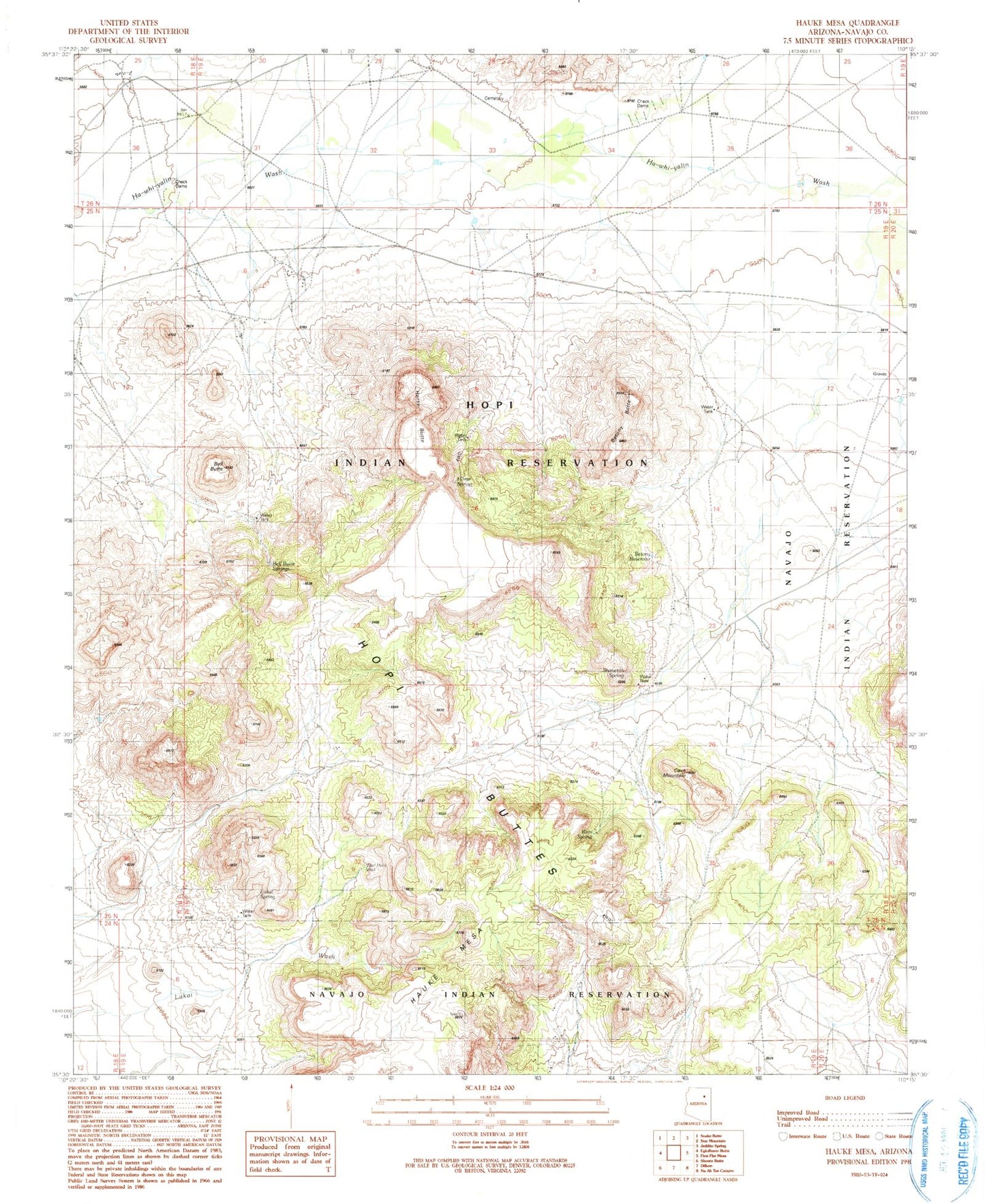
Historical USGS topographic quad map of Hauke Mesa in the state of Arizona. Map scale may vary for some years, but is generally around 1:24,000. Print size is approximately 24" x 27"
This quadrangle is in the following counties: Navajo.
The map contains contour lines, roads, rivers, towns, and lakes. Printed on high-quality waterproof paper with UV fade-resistant inks, and shipped rolled.
Contains the following named places: Bell Butte, Bell Butte Spring, Betony Butte, Betony Reservoir, Cave Mountain, Hauke Mesa, Horse Butte, Horse Spring, Lukai Spring, Navajo-Hopi Joint Use Area, Ram Spring, RU559, Shanetoh Spring, Wolf Pass Well