MyTopo
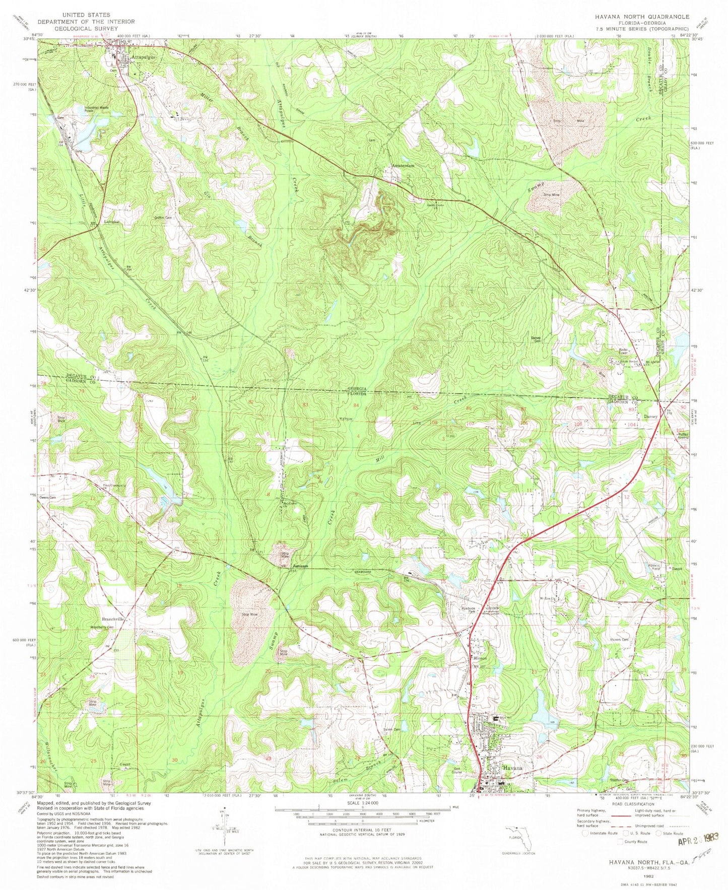
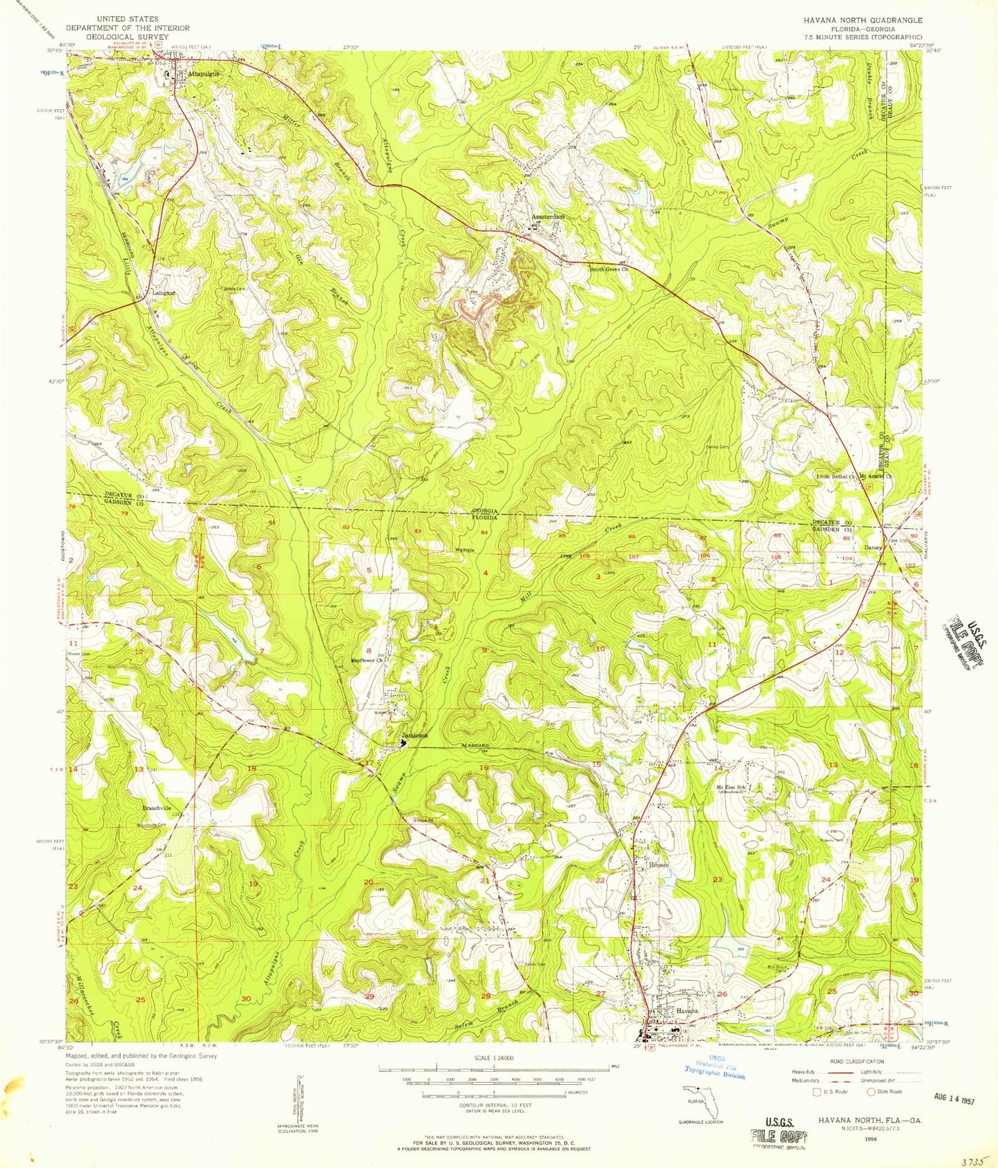
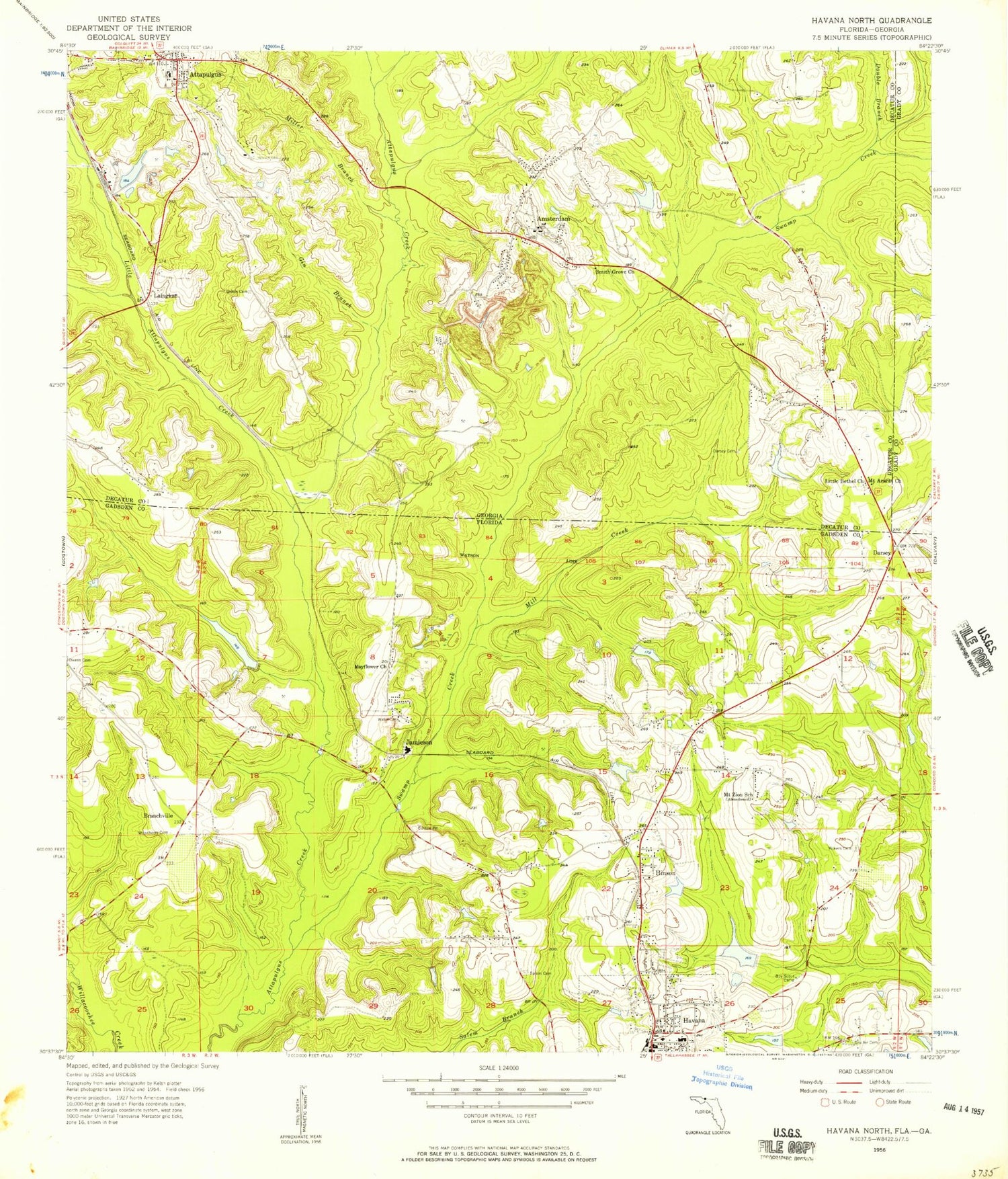
Classic USGS Havana North Florida 7.5'x7.5' Topo Map
Couldn't load pickup availability
Historical USGS topographic quad map of Havana North in the states of Florida, Georgia. Map scale may vary for some years, but is generally around 1:24,000. Print size is approximately 24" x 27"
This quadrangle is in the following counties: Decatur, Gadsden, Grady.
The map contains contour lines, roads, rivers, towns, and lakes. Printed on high-quality waterproof paper with UV fade-resistant inks, and shipped rolled.
Contains the following named places: Amsterdam, Attapulgus, Attapulgus Church Cemetery, Attapulgus Police Department, Attapulgus Post Office, Branchville, Cecil Butler Lake, City of Attapulgus, Darsey, Darsey Cemetery, Decatur County Fire Department and Rescue Station 230, Double Branch, Dubarco South Lake, Dubarco South Lake Dam, Durwood Owens Pond, Gadsden Christian Academy, Gadsden County Emergency Medical Services Station 3, Gin Branch, Griffin Cemetery, Gyte Chester Pond, Havana Fire Department, Havana Northside High School, Havana Police Department, Hinson, Hopkins Cemetery, J Frank Smith Pond, Jamieson, Laingkat, Lake Dubarco, Lake Dubarco Dam, Little Attapulgus Creek, Little Bethel Church, Magnet Cove Railroad Station, Mayflower Church, Mill Creek, Miller Branch, Mount Ararat Church, Mount Ararat Primitive Baptist Church Cemetery, Mount Zion Cemetery, Mount Zion Church, Mount Zion School, Peavy Farms Airport, Salem Cemetery, Saranac Farm Airport, Shelfer Cemetery, Smith Grove Church, Sugar Plum Lake, Swamp Creek, Town of Havana, Vickers Cemetery, Woodberry - Hinson Cemetery, ZIP Code: 39815