MyTopo
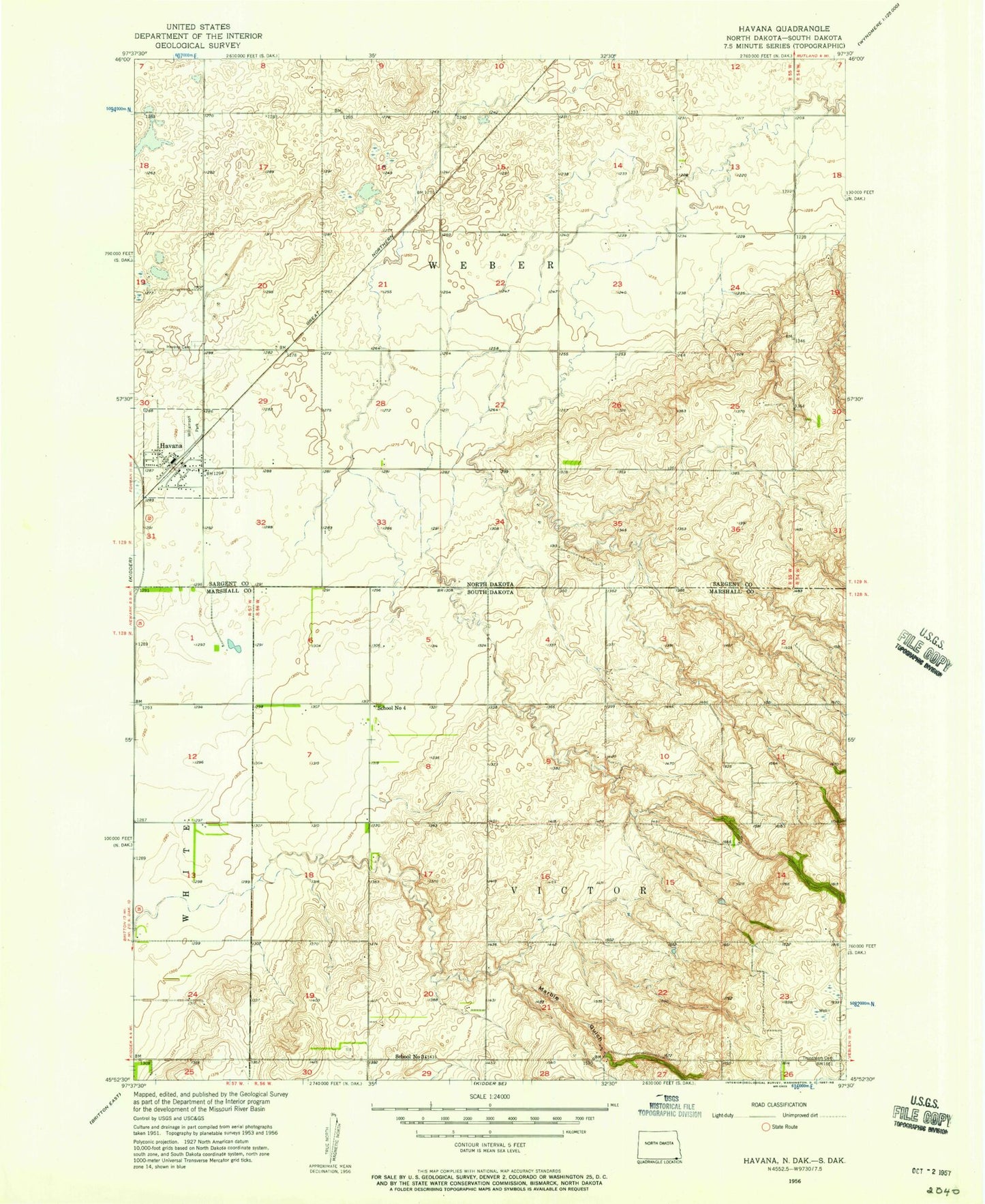
Classic USGS Havana North Dakota 7.5'x7.5' Topo Map
Couldn't load pickup availability
Historical USGS topographic quad map of Havana in the states of North Dakota, South Dakota. Map scale may vary for some years, but is generally around 1:24,000. Print size is approximately 24" x 27"
This quadrangle is in the following counties: Marshall, Sargent.
The map contains contour lines, roads, rivers, towns, and lakes. Printed on high-quality waterproof paper with UV fade-resistant inks, and shipped rolled.
Contains the following named places: City of Havana, Havana, Havana Cemetery, Havana Post Office, Havana Weber Taylor Fire District, Marble Gulch, School Number 3, School Number 4, Tewaukon WS-T-1-A Dam, Township of Victor, Township of Weber, Trondhjem Cemetery, Williamson Park, WRC Flood Control Dam, ZIP Code: 58043