MyTopo
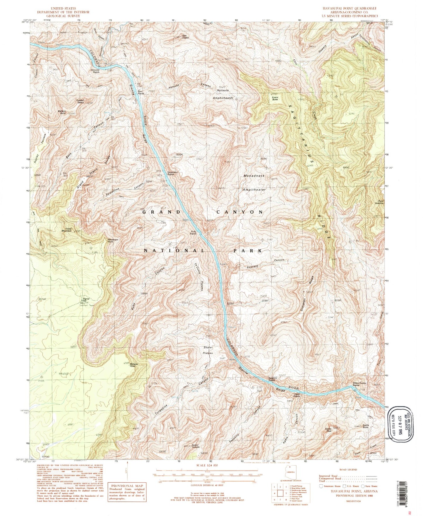
Classic USGS Havasupai Point Arizona 7.5'x7.5' Topo Map
Couldn't load pickup availability
Historical USGS topographic quad map of Havasupai Point in the state of Arizona. Typical map scale is 1:24,000, but may vary for certain years, if available. Print size: 24" x 27"
This quadrangle is in the following counties: Coconino.
The map contains contour lines, roads, rivers, towns, and lakes. Printed on high-quality waterproof paper with UV fade-resistant inks, and shipped rolled.
Contains the following named places: Point Sublime, Agate Canyon, Bass Canyon, Bass Rapids, Burro Canyon, Castor Temple, Copper Canyon, Flint Creek, Fossil Mountain, Gawain Abyss, Geikie Peak, Grand Scenic Divide, Havasupai Point, Hotauta Amphitheater, Hotauta Canyon, Kanabownits Canyon, Le Conte Plateau, Monadnock Amphitheater, Ruby Canyon, Sagittarius Ridge, Sapphire Canyon, Scorpion Ridge, Scylla Butte, Serpentine Canyon, Serpentine Rapids, Shaler Plateau, Shinumo Creek, Shinumo Rapids, Signal Hill, Tuna Creek, Turquoise Canyon, Tyndall Dome, Walapai Point, Wallace Butte, Charybdis Butte, Dox Castle, Evans Butte, Emerald Canyon, Ruby Rapids, Sapphire Rapids, Willies Necktie Rapids, Agate Rapids, Huxley Terrace, Emerald Rapid


