MyTopo
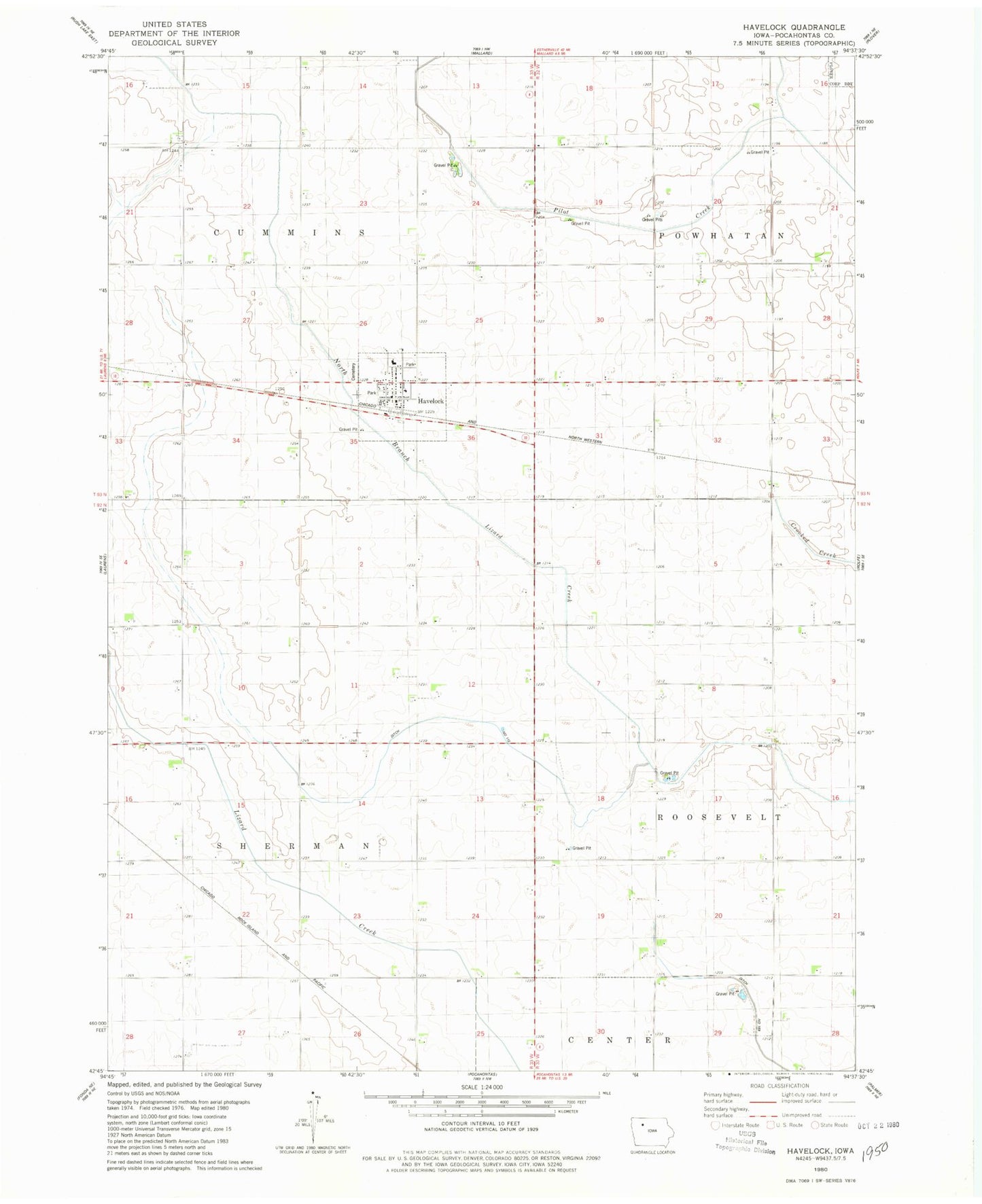
Classic USGS Havelock Iowa 7.5'x7.5' Topo Map
Couldn't load pickup availability
Historical USGS topographic quad map of Havelock in the state of Iowa. Map scale may vary for some years, but is generally around 1:24,000. Print size is approximately 24" x 27"
This quadrangle is in the following counties: Pocahontas.
The map contains contour lines, roads, rivers, towns, and lakes. Printed on high-quality waterproof paper with UV fade-resistant inks, and shipped rolled.
Contains the following named places: City of Havelock, Ditch Number 112, Havelock, Havelock Fire Department, Havelock Post Office, Havelock Public Library, Havelock Town Hall, Havelock Wildlife Area, Luella Post Office, Pro Co-op Elevator, Ridotto, Rubens, Township of Cummins, Township of Sherman, United Methodist Church, Washington Cemetery, ZIP Code: 50546