MyTopo
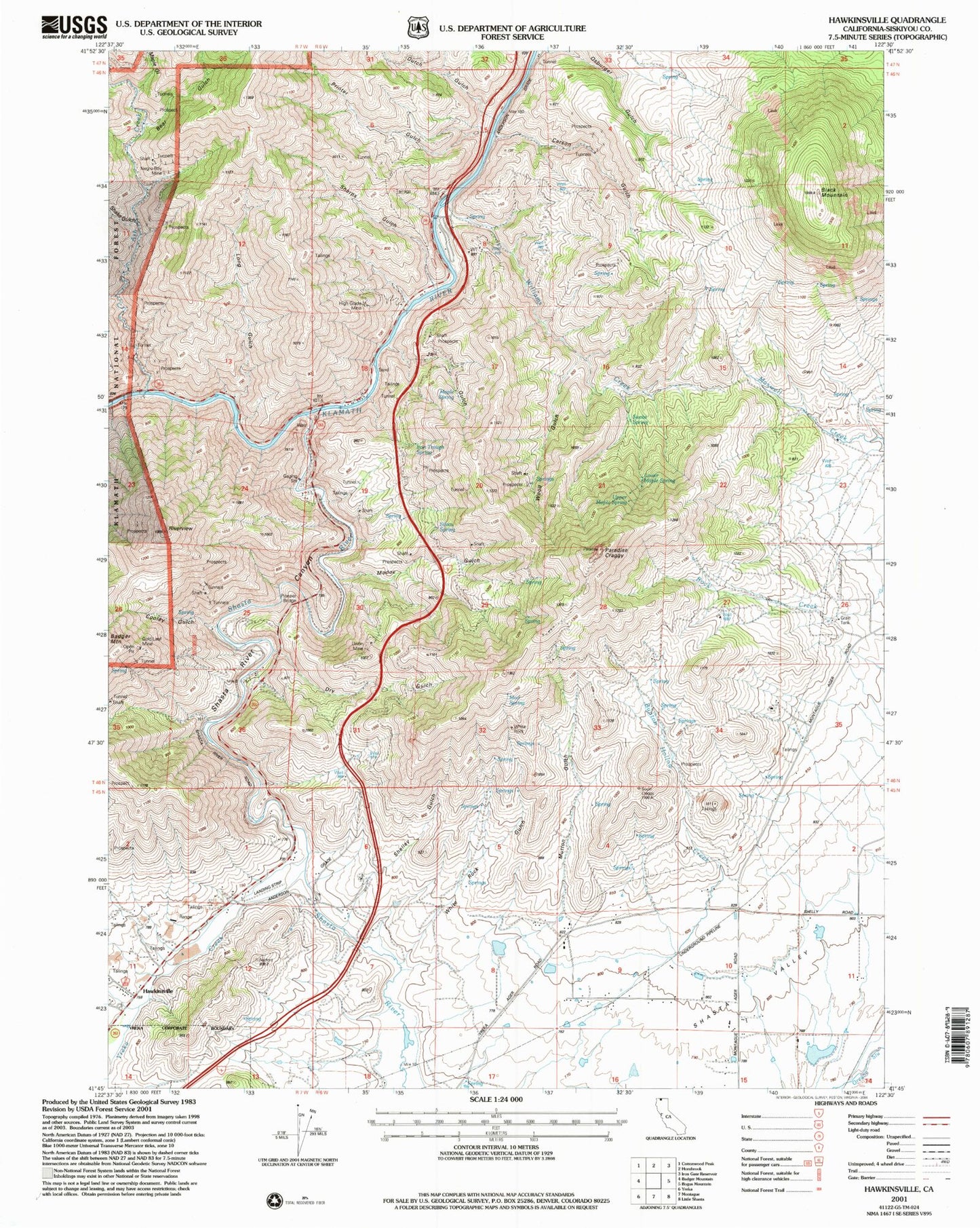
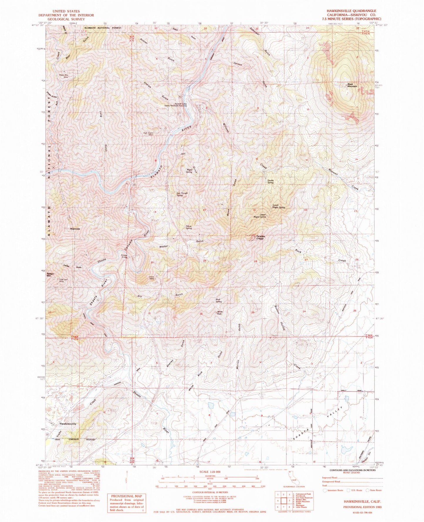
Classic USGS Hawkinsville California 7.5'x7.5' Topo Map
Couldn't load pickup availability
Historical USGS topographic quad map of Hawkinsville in the state of California. Map scale may vary for some years, but is generally around 1:24,000. Print size is approximately 24" x 27"
This quadrangle is in the following counties: Siskiyou.
The map contains contour lines, roads, rivers, towns, and lakes. Printed on high-quality waterproof paper with UV fade-resistant inks, and shipped rolled.
Contains the following named places: Ash Creek, Bear Gulch, Black Mountain, Bunton Hollow Creek, Canal Gulch, Carson Gulch, Cooley Gulch, Dry Gulch, Dutch Gulch, Gold Leaf Mine, Hawkinsville, High Grade Mine, Indian Girl Mine, Iron Trough Spring, Jail Gulch, Jims Camp, Lake Suzanne 1186 Dam, Long Gulch, Lower Maple Spring, Maple Gulch, Maple Spring, Modoc Gulch, Mud Spring, Mutton Gulch, Negro Boy Mine, Paradise Craggy, Pioneer Bridge, Printer Gulch, Randolf Collier Safety Roadside Rest Area, Riverview, Rocky Gulch, Shake Gulch, Sharps Gulch, Shasta River, Shasta River Canyon, Shasta River School, Shelley Gulch, Silvas Spring, Stiffneck Gulch, Swabs Spring, Union Mine, Upper Maple Spring, White Rock, White Rock Gulch, Williams Creek, Wood Gulch, Yreka Creek


