MyTopo
Classic USGS Hawks Nest Wyoming 7.5'x7.5' Topo Map
Regular price
$16.95
Regular price
Sale price
$16.95
Unit price
per
Couldn't load pickup availability
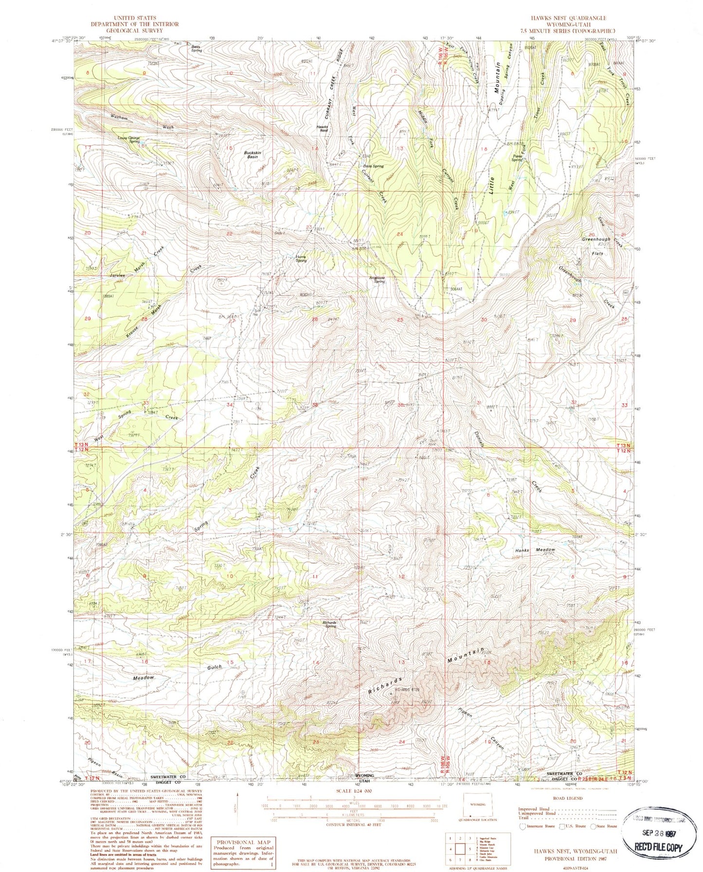
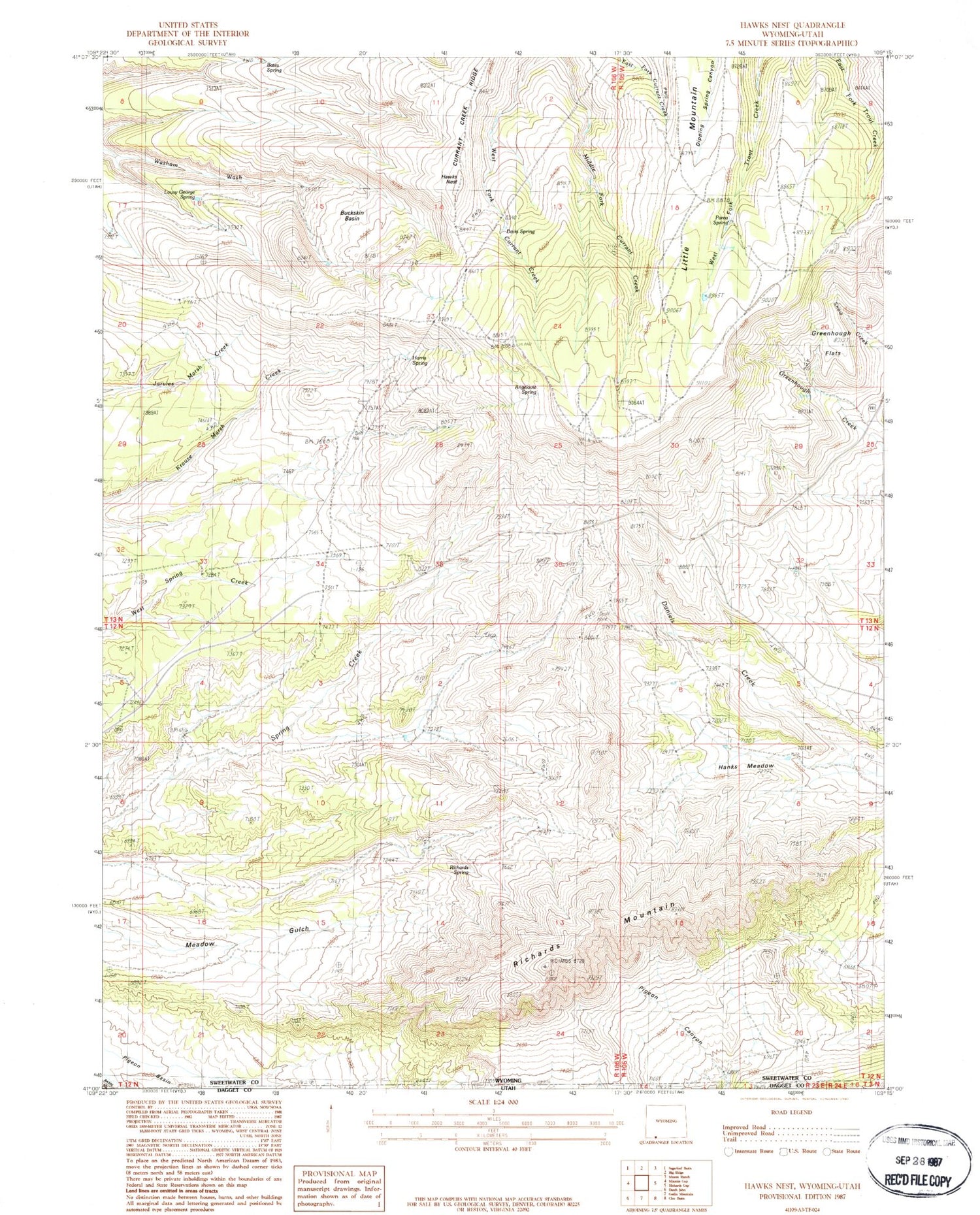
Historical USGS topographic quad map of Hawks Nest in the states of Wyoming, Utah. Typical map scale is 1:24,000, but may vary for certain years, if available. Print size: 24" x 27"
This quadrangle is in the following counties: Daggett, Sweetwater.
The map contains contour lines, roads, rivers, towns, and lakes. Printed on high-quality waterproof paper with UV fade-resistant inks, and shipped rolled.
Contains the following named places: Angelovie Spring, Bates Spring, Big Spring, Buckskin Basin, Davis Spring, Hanks Meadow, Harris Spring, Hawks Nest, Little Mountain, Lousy George Spring, Parea Spring, Richards Mountain, Richards Spring, Red Jeep Number One Mine, Richards Mountains