MyTopo
Classic USGS Haworth Oklahoma 7.5'x7.5' Topo Map
Couldn't load pickup availability
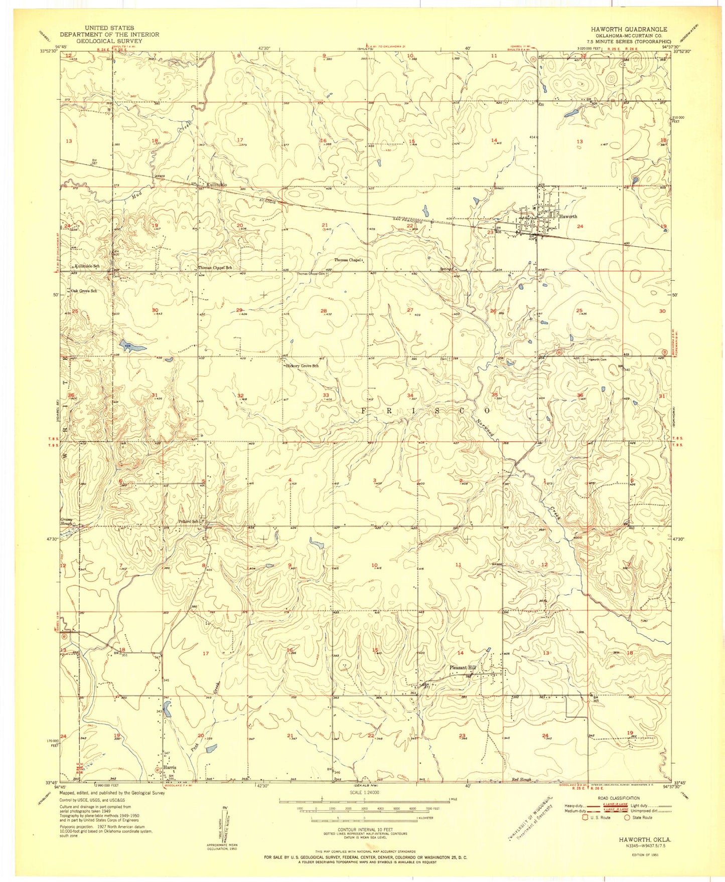
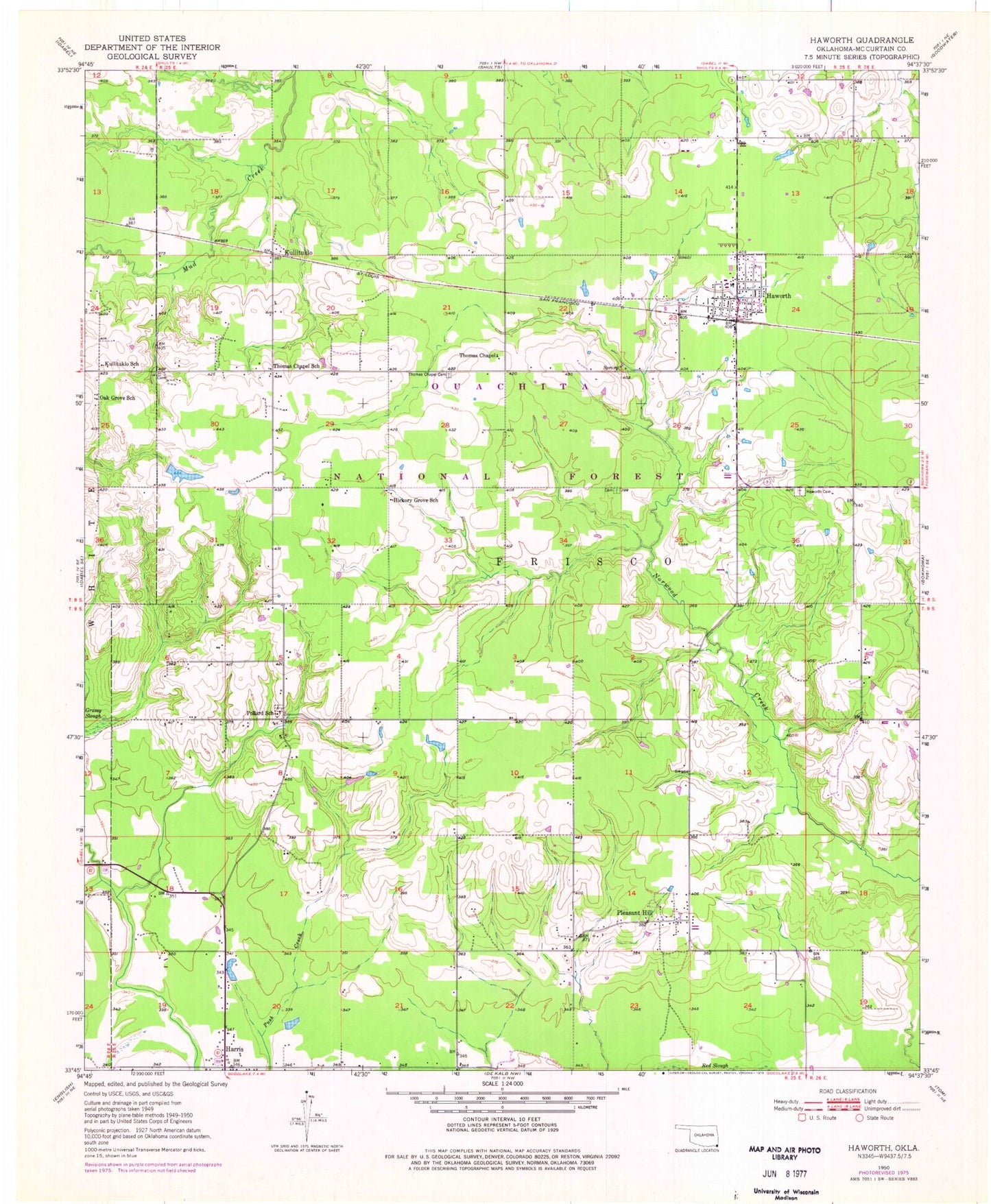
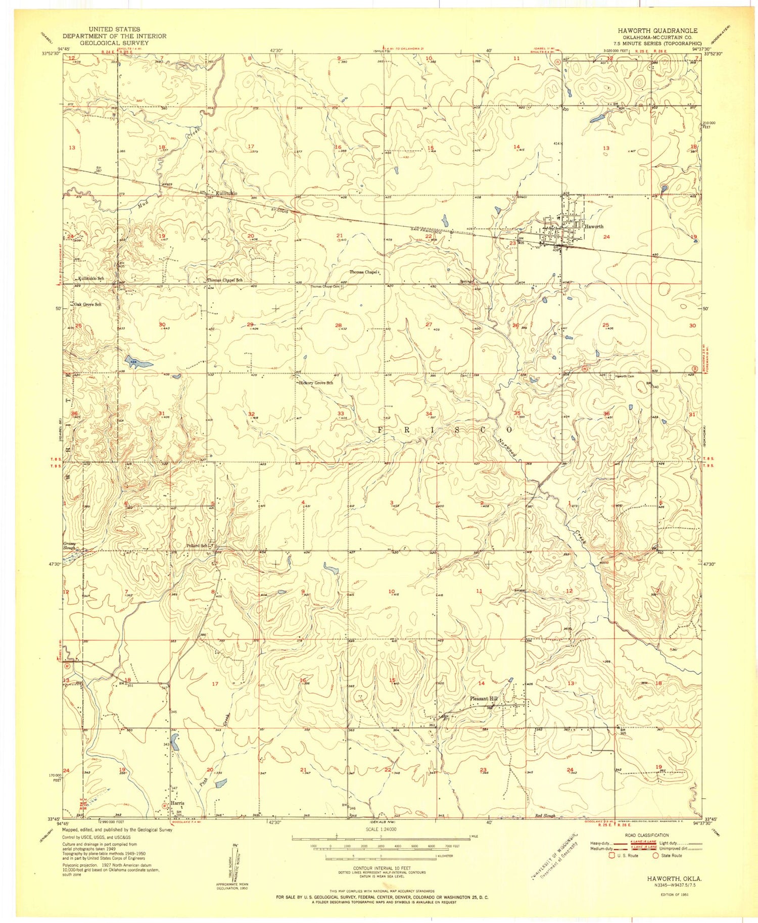
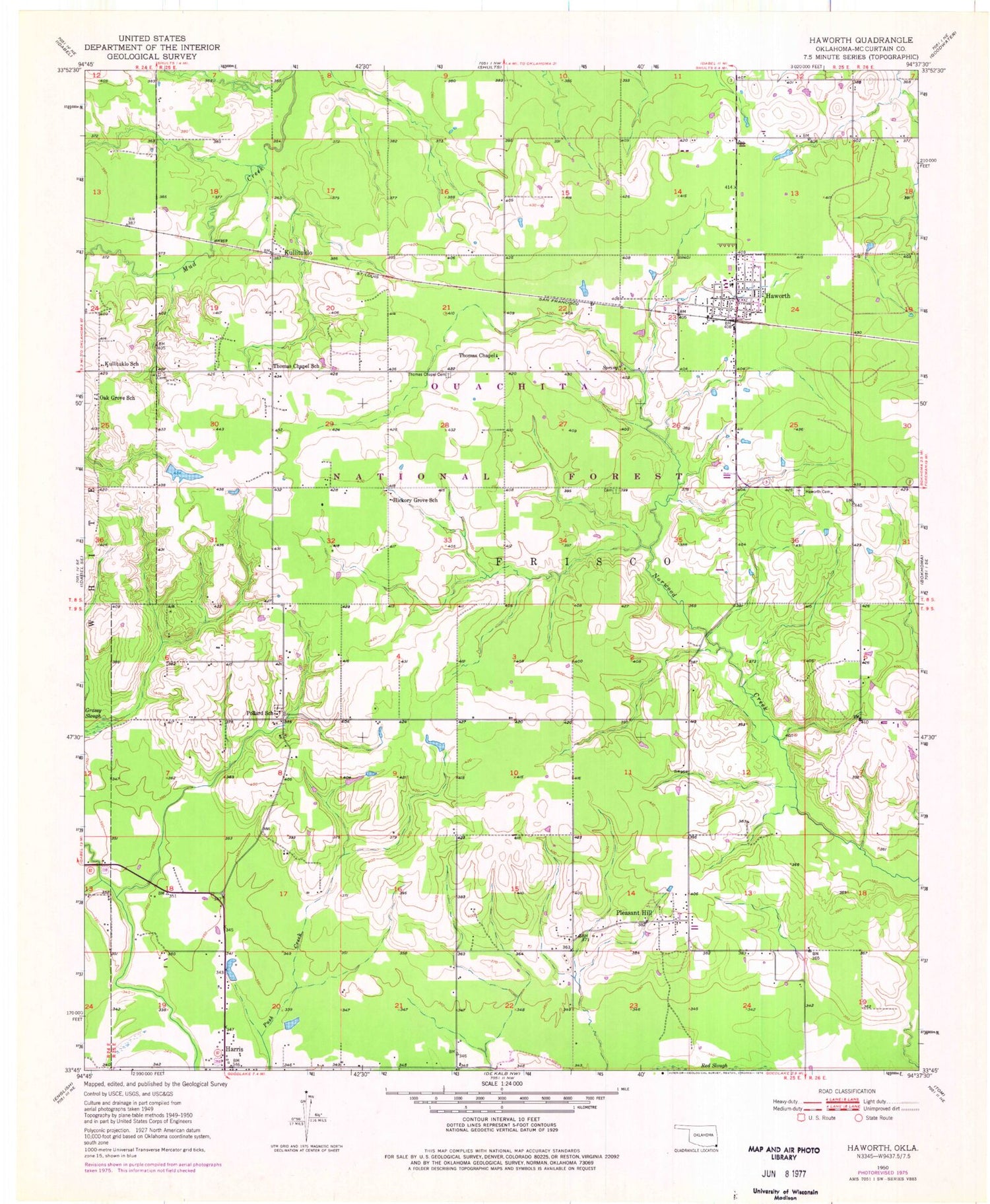
Historical USGS topographic quad map of Haworth in the state of Oklahoma. Map scale may vary for some years, but is generally around 1:24,000. Print size is approximately 24" x 27"
This quadrangle is in the following counties: McCurtain.
The map contains contour lines, roads, rivers, towns, and lakes. Printed on high-quality waterproof paper with UV fade-resistant inks, and shipped rolled.
Contains the following named places: Harris, Haworth, Haworth Cemetery, Haworth Elementary School, Haworth High School, Haworth Junior High School, Haworth Police Department, Haworth Post Office, Haworth Tower, Haworth Volunteer Fire Department Station 1, Haworth Volunteer Fire Department Station 3, Hickory Grove School, Kulli Campground, Kulli Tuklo School, Kullituklo, Oak Grove School, Oknoname 089007 Dam, Oknoname 089007 Reservoir, Oknoname 089017 Dam, Oknoname 089017 Reservoir, Pleasant Hill, Pollard Cemetery, Pollard School, Thomas Chapel, Thomas Chapel Cemetery, Thomas Chapel School, Tiak Lookout Tower, Tiak Work Center, Tom Elementary School, Town of Haworth, Water Fall-Gilford Site Number 11 Dam