MyTopo
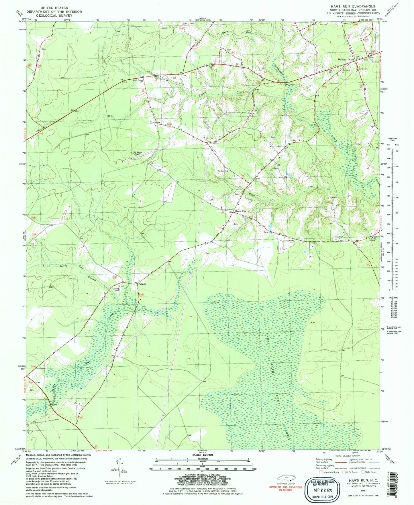
Classic USGS Haws Run North Carolina 7.5'x7.5' Topo Map
Couldn't load pickup availability
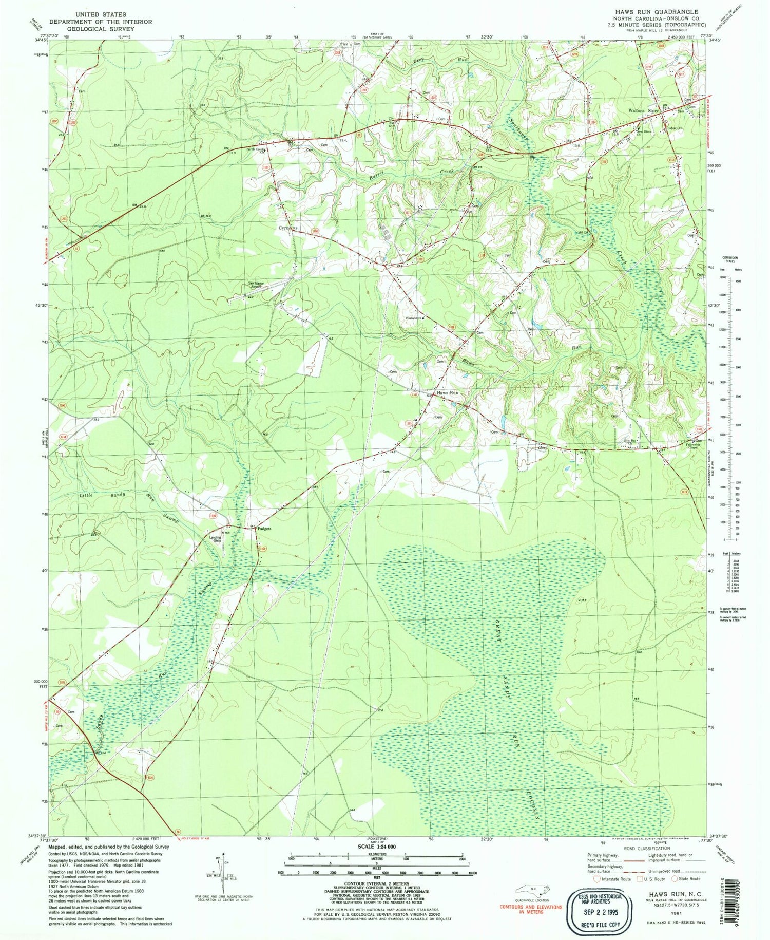
Historical USGS topographic quad map of Haws Run in the state of North Carolina. Map scale may vary for some years, but is generally around 1:24,000. Print size is approximately 24" x 27"
This quadrangle is in the following counties: Onslow.
The map contains contour lines, roads, rivers, towns, and lakes. Printed on high-quality waterproof paper with UV fade-resistant inks, and shipped rolled.
Contains the following named places: Angola Church, Calvary Church, Comfort Country Homes, Cyrus, Deep Run, Fellowship Chapel, First Church of God, Freedom Pentecostal Free Will Baptist Church, Great Sandy Run Pocosin, Harris Creek, Harris Creek Church, Haws Run, Haws Run Volunteer Fire Department, Haws Run Volunteer Rescue - Emergency Medical Services, New Bay Church, New Dixon Church, Padgett, Pineland Church, Sky Manor Airport, Southwest, Southwest Volunteer Fire Department, Waltons Store, Westridge Mobile Home Park


