MyTopo
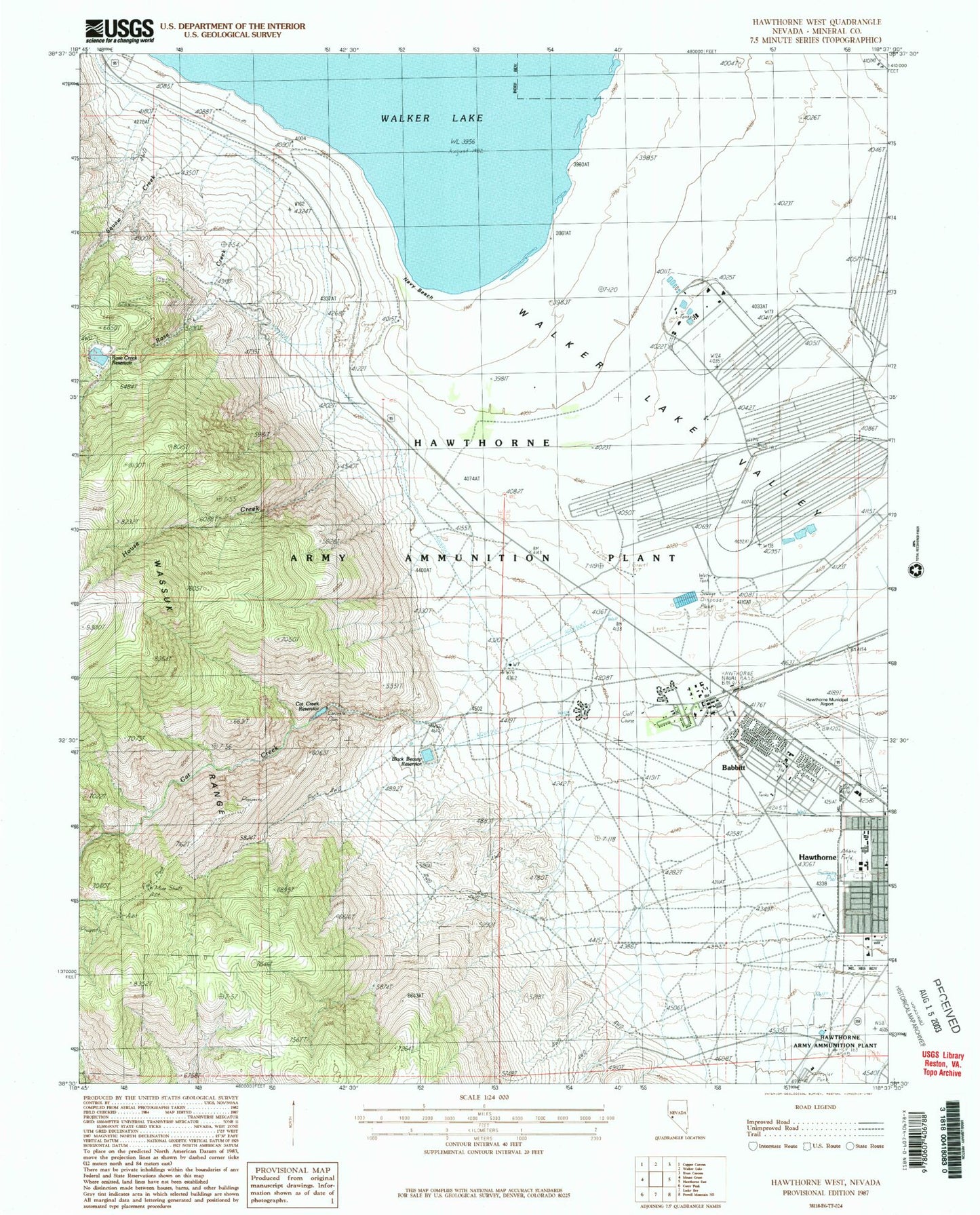
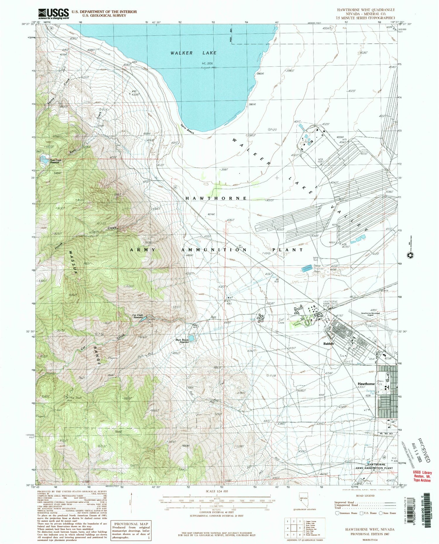
Classic USGS Hawthorne West Nevada 7.5'x7.5' Topo Map
Couldn't load pickup availability
Historical USGS topographic quad map of Hawthorne West in the state of Nevada. Map scale may vary for some years, but is generally around 1:24,000. Print size is approximately 24" x 27"
This quadrangle is in the following counties: Mineral.
The map contains contour lines, roads, rivers, towns, and lakes. Printed on high-quality waterproof paper with UV fade-resistant inks, and shipped rolled.
Contains the following named places: Babbitt, Babbitt Branch Post Office, Black Beauty Dam, Black Beauty Reservoir, Cat Creek, Cat Creek Dam, Cat Creek Reservoir, Chaney Gulch, Day and Zimmerman Hawthorne Corporation Fire and Emergency Services, Hawthorne Cemetery, Hawthorne Census Designated Place, Hawthorne Division, Hawthorne Elementary School, Hawthorne Industrial Airport, Hawthorne Primary School, Hawthorne Township, House Creek, House Creek Canyon, Lady Bird Park, Lefa Seran Skilled Nursing Facility, Mineral County Fire Department, Mineral County High School, Mineral County Sheriff's Office, Mount Grant General Hospital, Naval Ammunition Depot Branch Post Office, Navy Beach, Nevada Highway Patrol Northern Command Hawthorne, Rose Creek, Rose Creek Dam, Rose Creek Reservoir, Schweer Housing Area, Sky View Academy, Squaw Creek, Walker Lake Valley


