
MyTopo
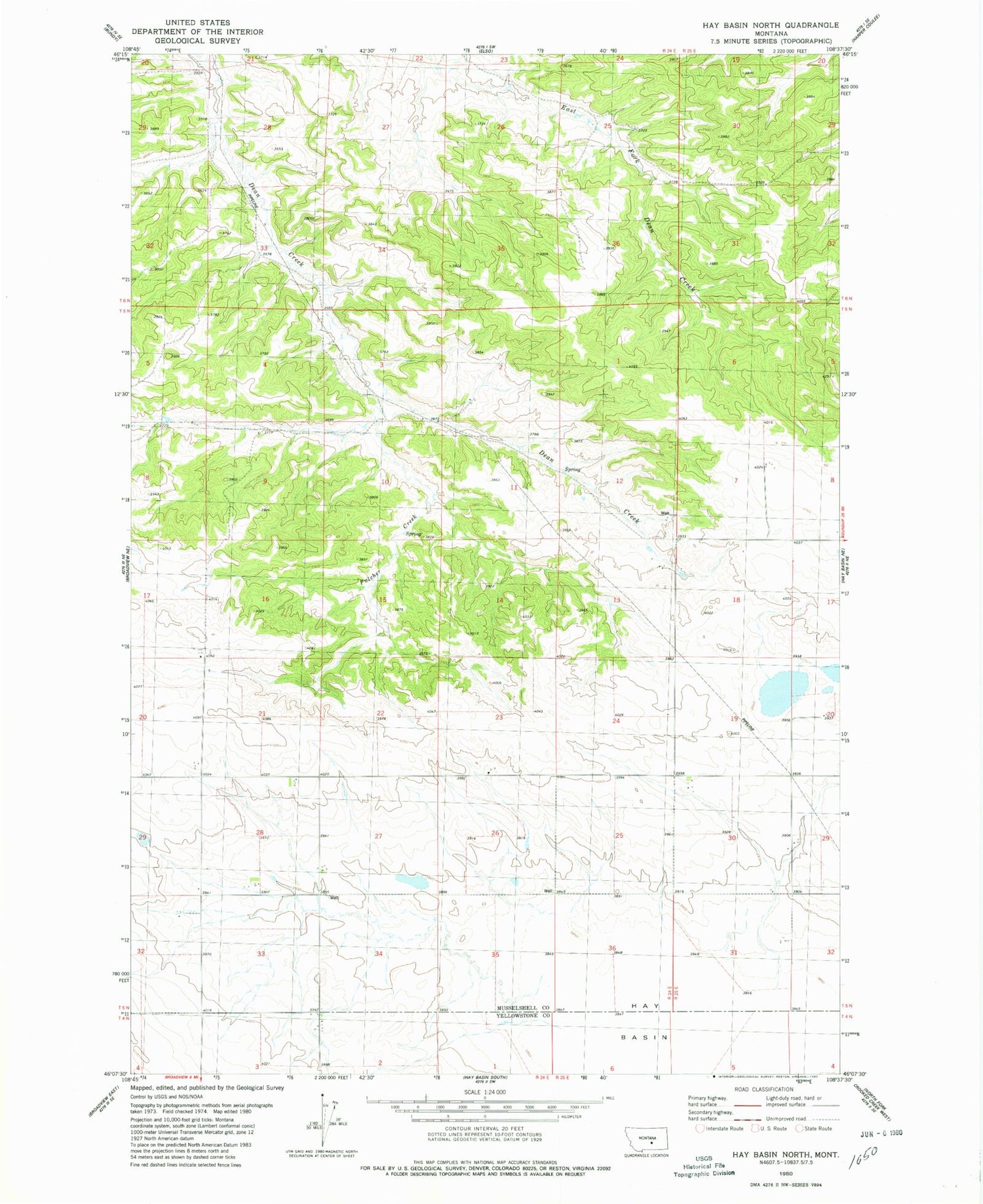
Classic USGS Hay Basin North Montana 7.5'x7.5' Topo Map
Regular price
$16.95
Regular price
Sale price
$16.95
Unit price
per
Couldn't load pickup availability
Historical USGS topographic quad map of Hay Basin North in the state of Montana. Map scale may vary for some years, but is generally around 1:24,000. Print size is approximately 24" x 27"
This quadrangle is in the following counties: Musselshell, Yellowstone.
The map contains contour lines, roads, rivers, towns, and lakes. Printed on high-quality waterproof paper with UV fade-resistant inks, and shipped rolled.
Contains the following named places: 05N24E20DDDC01 Well, 05N24E33BADA01 Well, 05N25E30DDCD01 Well, 06N24E28CBCA01 Well, 06N24E29ABC_01 Well, 06N24E33ACBB01 Well, Ethel Post Office, Fulcher Creek, Hay Basin, Musselshell County Waterfowl Production Area


