MyTopo
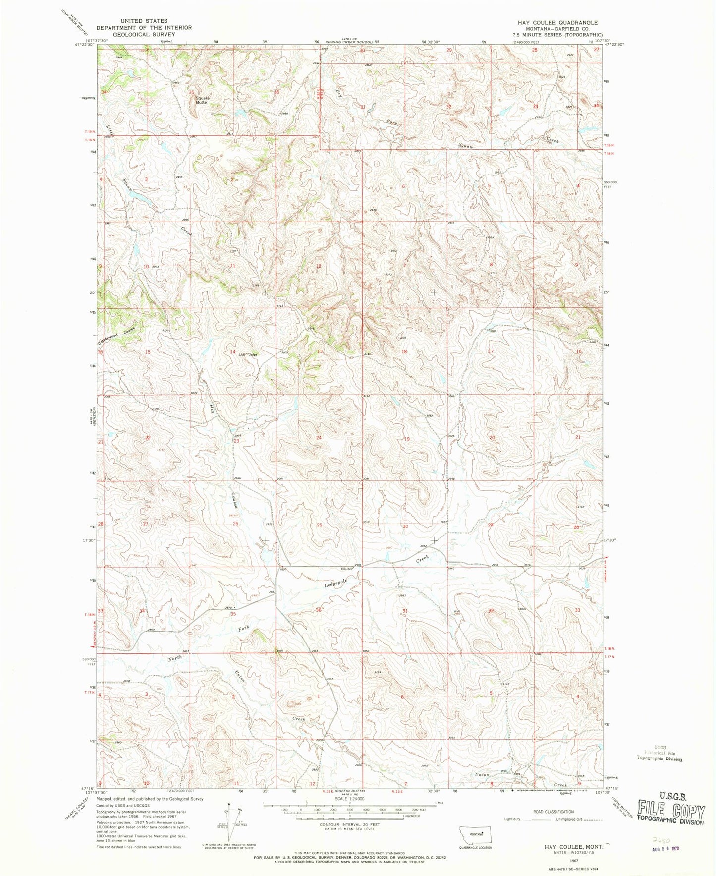
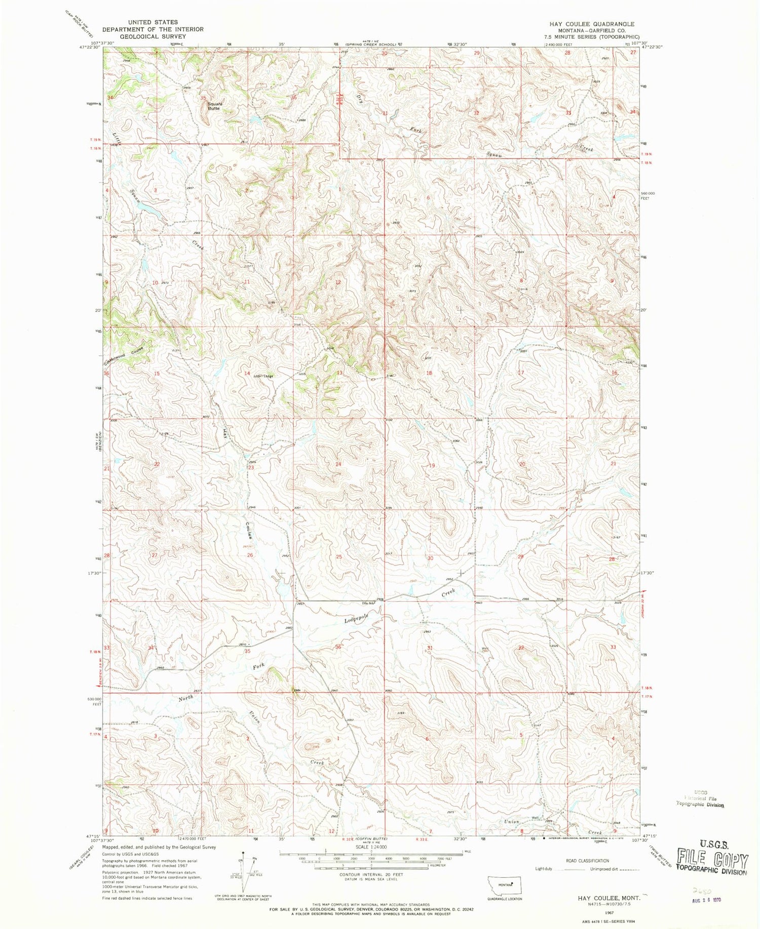
Classic USGS Hay Coulee Montana 7.5'x7.5' Topo Map
Regular price
$16.95
Regular price
Sale price
$16.95
Unit price
per
Couldn't load pickup availability
Historical USGS topographic quad map of Hay Coulee in the state of Montana. Map scale may vary for some years, but is generally around 1:24,000. Print size is approximately 24" x 27"
This quadrangle is in the following counties: Garfield.
The map contains contour lines, roads, rivers, towns, and lakes. Printed on high-quality waterproof paper with UV fade-resistant inks, and shipped rolled.
Contains the following named places: 18N32E25CCCC01 Well, Dilo Post Office, Dilo School, Hay Coulee, Haypense Dam, Pense Reservoir Dam, Square Butte, Union Creek