MyTopo
Classic USGS Hay Lake Arizona 7.5'x7.5' Topo Map
Couldn't load pickup availability
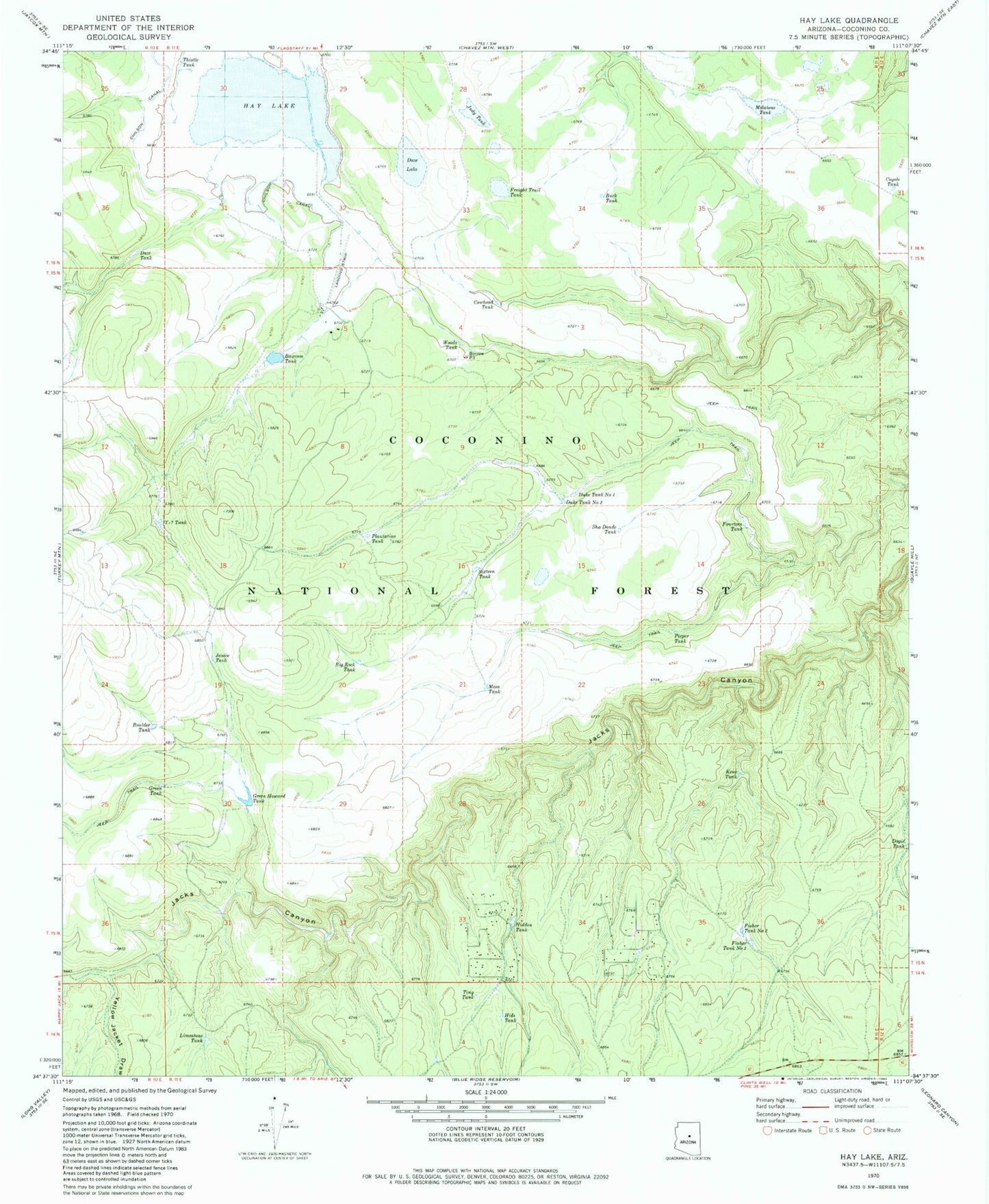
Historical USGS topographic quad map of Hay Lake in the state of Arizona. Typical map scale is 1:24,000, but may vary for certain years, if available. Print size: 24" x 27"
This quadrangle is in the following counties: Coconino.
The map contains contour lines, roads, rivers, towns, and lakes. Printed on high-quality waterproof paper with UV fade-resistant inks, and shipped rolled.
Contains the following named places: Bawcom Tank, Big Rock Tank, Boulder Tank, Buck Tank, Chilson Canal, Cowhead Tank, Coyote Tank, Daze Lake, Daze Tank, Dogie Tank, Duke Tank Number One, Duke Tank Number Two, Fisher Tank Number One, Fisher Tank Number Two, Fourteen Tank, Freight Trail Tank, Green Howard Tank, Green Tank, Hay Lake, Hide Tank, Hide Tank, Janice Tank, Judy Tank, Kens Tank, Limestone Tank, Melatone Tank, Mesa Tank, Pieper Tank, Plantation Tank, Sha Donde Tank, Sixteen Tank, Thistle Tank, Tiny Tank, Woods Tank, Y-seven Tank, Yellow Jacket Draw, Chilson Tank, Hay Lake Dam, Natural Tank, PW Tank, Blue Ridge Ranger District, Fish and Game, Sha Donde Tank


