
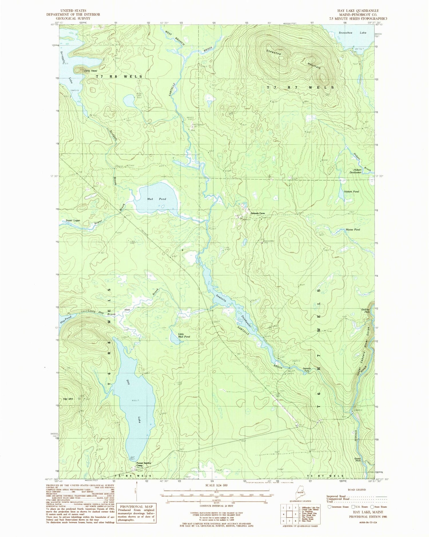
MyTopo
Classic USGS Hay Lake Maine 7.5'x7.5' Topo Map
Couldn't load pickup availability
Historical USGS topographic quad map of Hay Lake in the state of Maine. Typical map scale is 1:24,000, but may vary for certain years, if available. Print size: 24" x 27"
This quadrangle is in the following counties: Penobscot.
The map contains contour lines, roads, rivers, towns, and lakes. Printed on high-quality waterproof paper with UV fade-resistant inks, and shipped rolled.
Contains the following named places: Godfrey Pitch, Grand Pitch, Hay Brook, Hay Lake, Hay Mountain, Hobart Pond, Little Hay Brook, Little Mud Pond, Matagamon Tote Road, Moose Pond, Mud Pond, Owls Head, Sawtelle Brook, Sawtelle Deadwater, Sawtelle Falls, Scraggy Brook, Seboeis Farm, Shin Brook, Snowshoe Lake Road, Snowshoe Mountain, Soper Brook, Soper Logan, West Branch Sawtelle Brook, Sawtelle Deadwater Dam, T6 R7 WELS


