MyTopo
Classic USGS Hay Lake Oregon 7.5'x7.5' Topo Map
Couldn't load pickup availability
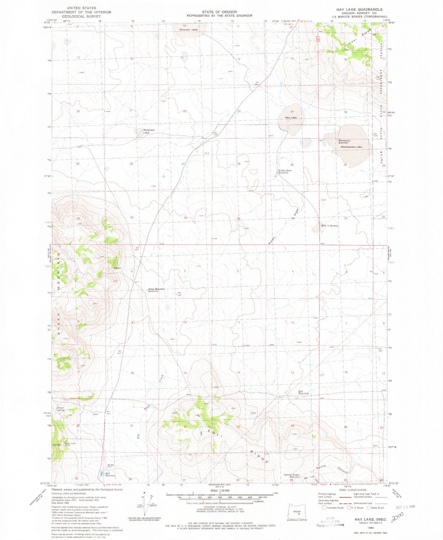
Historical USGS topographic quad map of Hay Lake in the state of Oregon. Map scale may vary for some years, but is generally around 1:24,000. Print size is approximately 24" x 27"
This quadrangle is in the following counties: Harney.
The map contains contour lines, roads, rivers, towns, and lakes. Printed on high-quality waterproof paper with UV fade-resistant inks, and shipped rolled.
Contains the following named places: Egli Waterhole, Harry Arnold Ranch, Harry Arnold Spring, Hay Lake, Hole in Ground, Indian Brave Reservoir, Old Egli Place, Poteet Spring, Rocky Draw, Rocky Draw Reservoir, Ryegrass Lake, Sheep Mountain Reservoir, Spring Canyon, Spring Canyon Reservoir, Surprise Lake Reservoir, Wheatgrass Lake, Wheatgrass Reservoir