
MyTopo
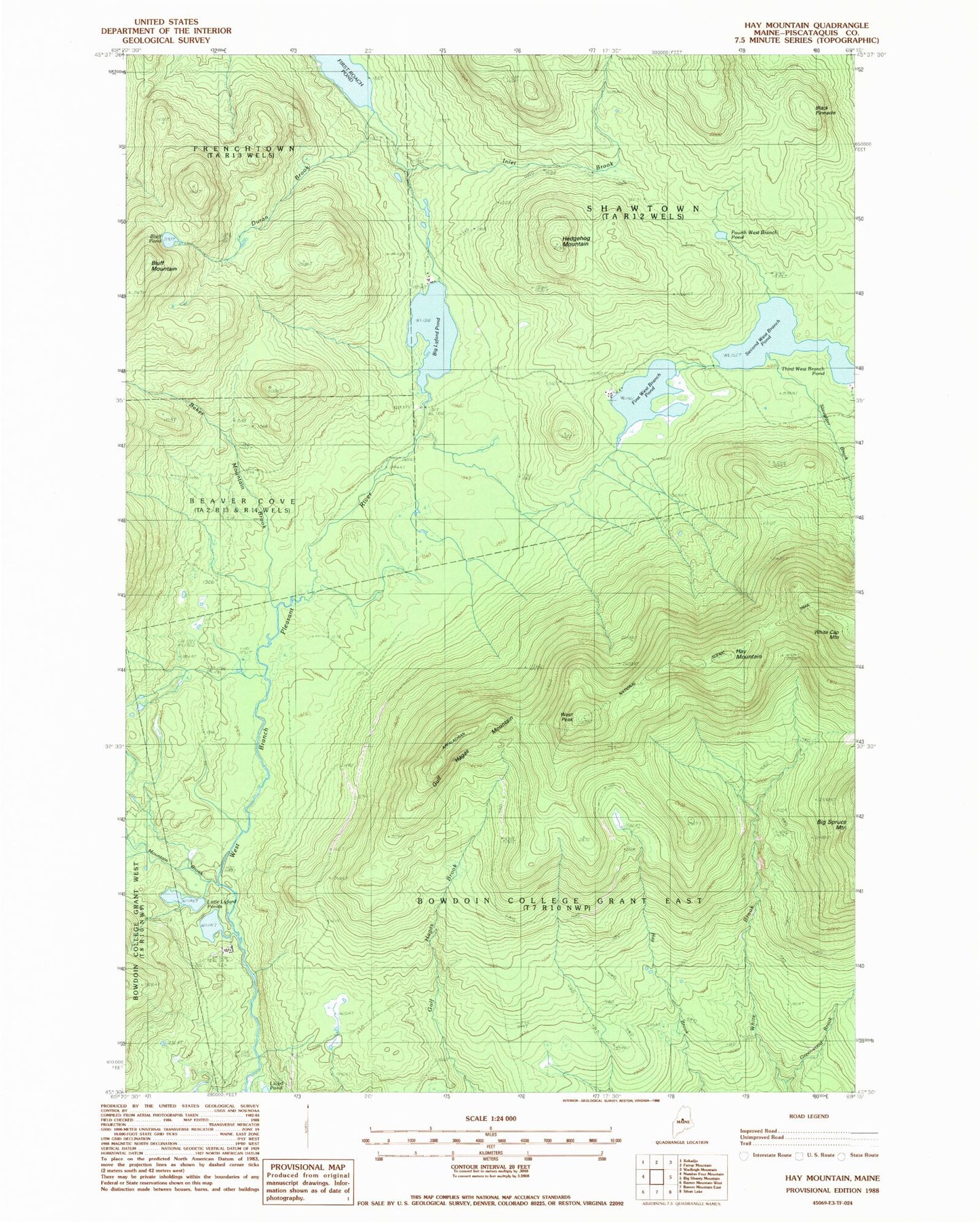
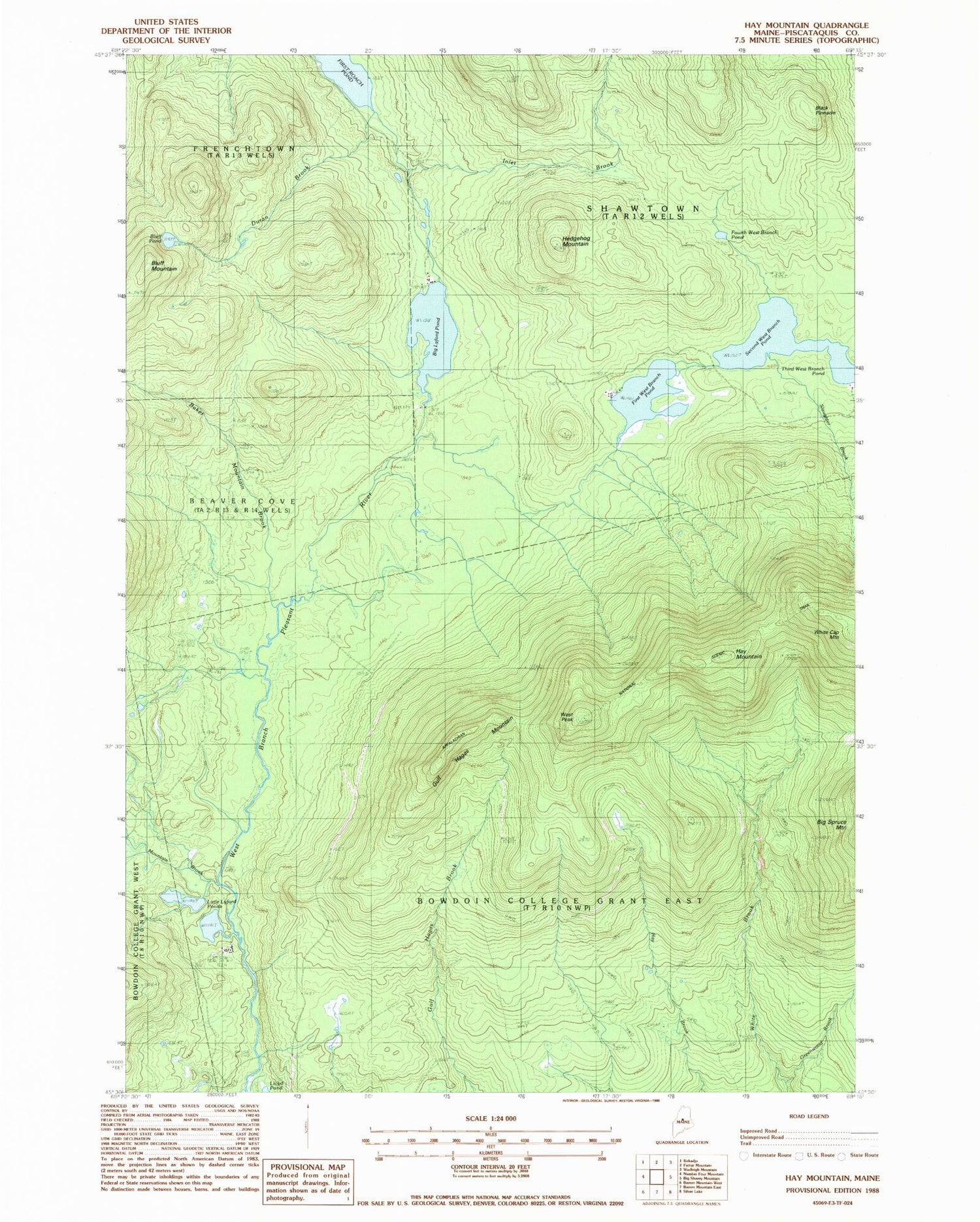
Classic USGS Hay Mountain Maine 7.5'x7.5' Topo Map
Couldn't load pickup availability
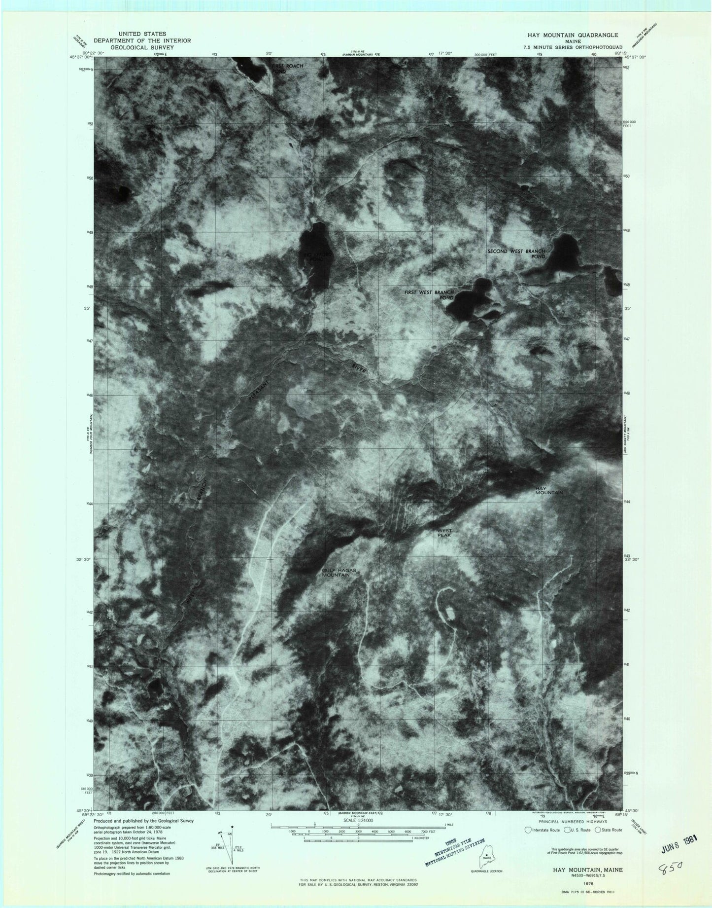
Historical USGS topographic quad map of Hay Mountain in the state of Maine. Typical map scale is 1:24,000, but may vary for certain years, if available. Print size: 24" x 27"
This quadrangle is in the following counties: Piscataquis.
The map contains contour lines, roads, rivers, towns, and lakes. Printed on high-quality waterproof paper with UV fade-resistant inks, and shipped rolled.
Contains the following named places: Baker Mountain Brook, Big Lyford Pond, Black Pinnacle, Bluff Mountain, Bluff Pond, Duran Brook, First West Branch Pond, Fourth West Branch Pond, Greenwood Brook, Gulf Hagas Mountain, Hay Mountain, Hedgehog Mountain, Inlet Brook, Little Lyford Ponds, Lloyd Pond, Mountain Brook, Second West Branch Pond, Slaughter Brook, Third West Branch Pond, West Peak, Little Lyford Pond Camps, Bowdoin College Grant East Township