MyTopo
Classic USGS Hay Springs SE Nebraska 7.5'x7.5' Topo Map
Regular price
$16.95
Regular price
Sale price
$16.95
Unit price
per
Couldn't load pickup availability
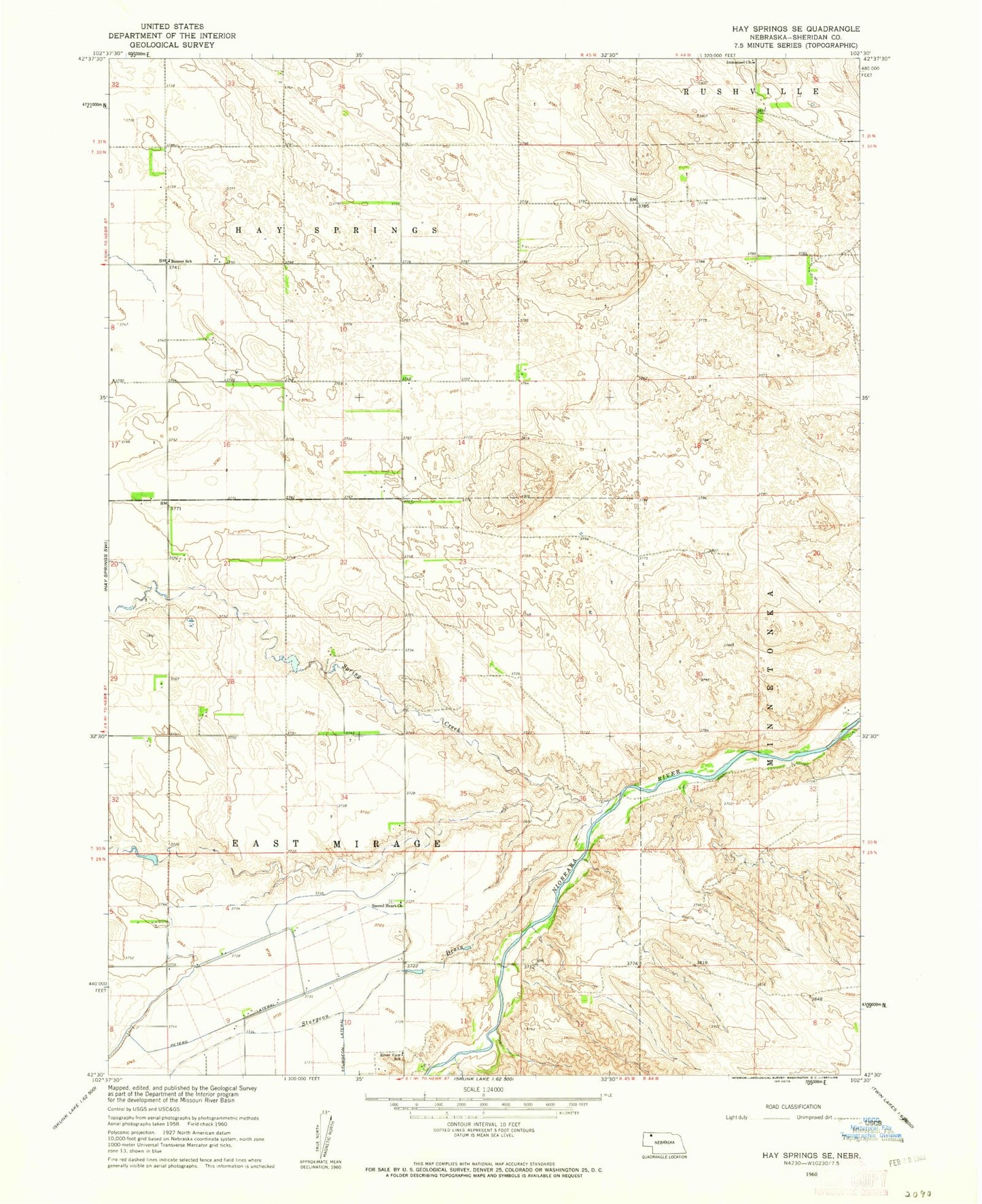
Historical USGS topographic quad map of Hay Springs SE in the state of Nebraska. Map scale may vary for some years, but is generally around 1:24,000. Print size is approximately 24" x 27"
This quadrangle is in the following counties: Sheridan.
The map contains contour lines, roads, rivers, towns, and lakes. Printed on high-quality waterproof paper with UV fade-resistant inks, and shipped rolled.
Contains the following named places: Banner School, Immanuel Church, Mirage Flats Dam 3, Mirage Flats Reservoir 3, Peters Lateral, River View School, Sacred Heart Church, Spring Creek, Sturgeon Drain