MyTopo
Classic USGS Haycock Mountain Utah 7.5'x7.5' Topo Map
Couldn't load pickup availability
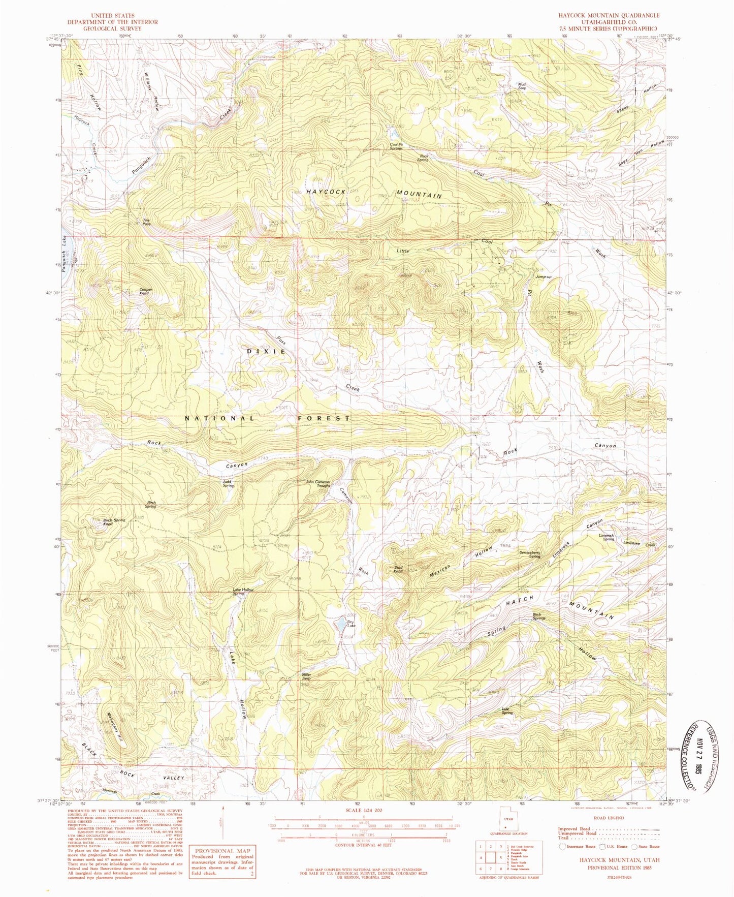
Historical USGS topographic quad map of Haycock Mountain in the state of Utah. Map scale may vary for some years, but is generally around 1:24,000. Print size is approximately 24" x 27"
This quadrangle is in the following counties: Garfield.
The map contains contour lines, roads, rivers, towns, and lakes. Printed on high-quality waterproof paper with UV fade-resistant inks, and shipped rolled.
Contains the following named places: Birch Spring, Birch Spring Knoll, Black Rock Valley, Cameron Wash, Coal Pit Springs, Cooper Knoll, Dry Lake, Hatch Mountain, Haycock Creek, Haycock Mountain, John Cameron Troughs, Judd Spring, Jump-up, Juniper Park Resort, Lake Hollow, Lake Hollow Spring, Lake View Resort, Limerock Spring, Little Coal Pit Wash, Lyle Spring, Mahogany Hill, Mexican Hollow, Miller Seep, Mud Seep, Pass Creek, Pine Hollow, Rock Spring, Serviceberry Spring, Stud Knoll, The Pass, White Bridge Campground, Williams Hollow