
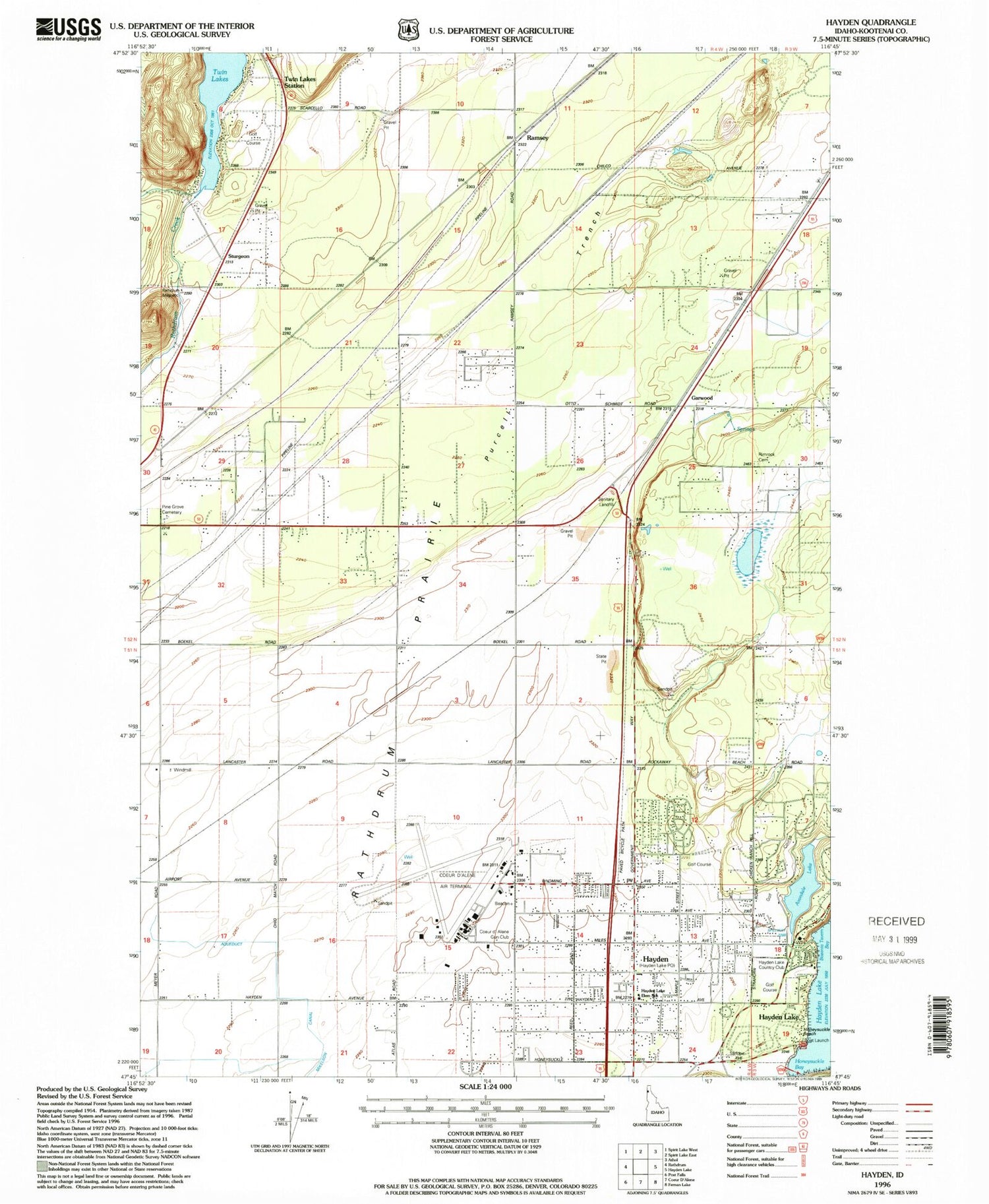
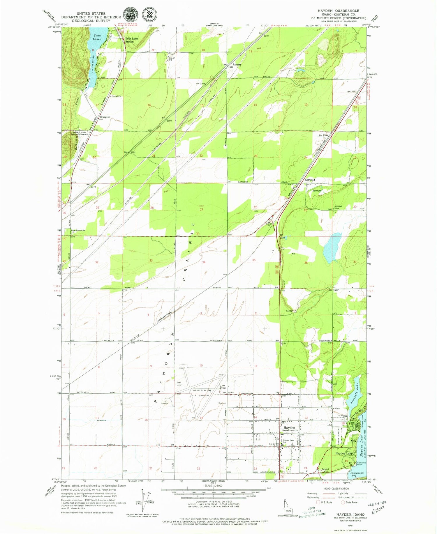
MyTopo
Classic USGS Hayden Idaho 7.5'x7.5' Topo Map
Couldn't load pickup availability
Historical USGS topographic quad map of Hayden in the state of Idaho. Map scale may vary for some years, but is generally around 1:24,000. Print size is approximately 24" x 27"
This quadrangle is in the following counties: Kootenai.
The map contains contour lines, roads, rivers, towns, and lakes. Printed on high-quality waterproof paper with UV fade-resistant inks, and shipped rolled.
Contains the following named places: Alpine Lake, Alpine Lake Wildlife Habitat Area, Avondale Lake, Bozanta Tavern Bay, City of Hayden, City of Hayden Lake, Coeur D Alene Gun Club, Coeur d'Alene - Pappy Boyington Field, Garwood, Garwood Elementary School, Hawk Haven Airport, Hayden, Hayden Lake, Hayden Lake Country Club, Hayden Lake Dam, Hayden Lake Elementary School, Hayden Post Office, Honeysuckle Bay, Honeysuckle Bay Picnic Area, Honeysuckle Beach, North Idaho Christian School, Northern Lakes Fire Protection District Station 1, Northern Lakes Fire Protection District Station 3, Northern Lakes Fire Protection District Station 4, Northern Lakes Fire Protection District Station 7, Pinegrove Cemetery, Ramsey, Ranch Aero Airport, Rathdrum Prairie, Rimrock Cemetery, Sturgeon, Twin Lakes Dam, Twin Lakes Station


