MyTopo
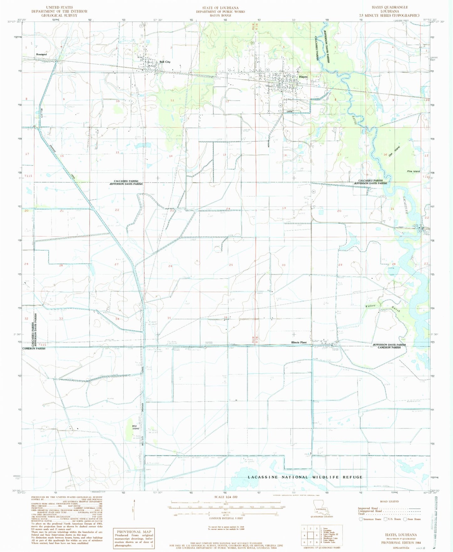
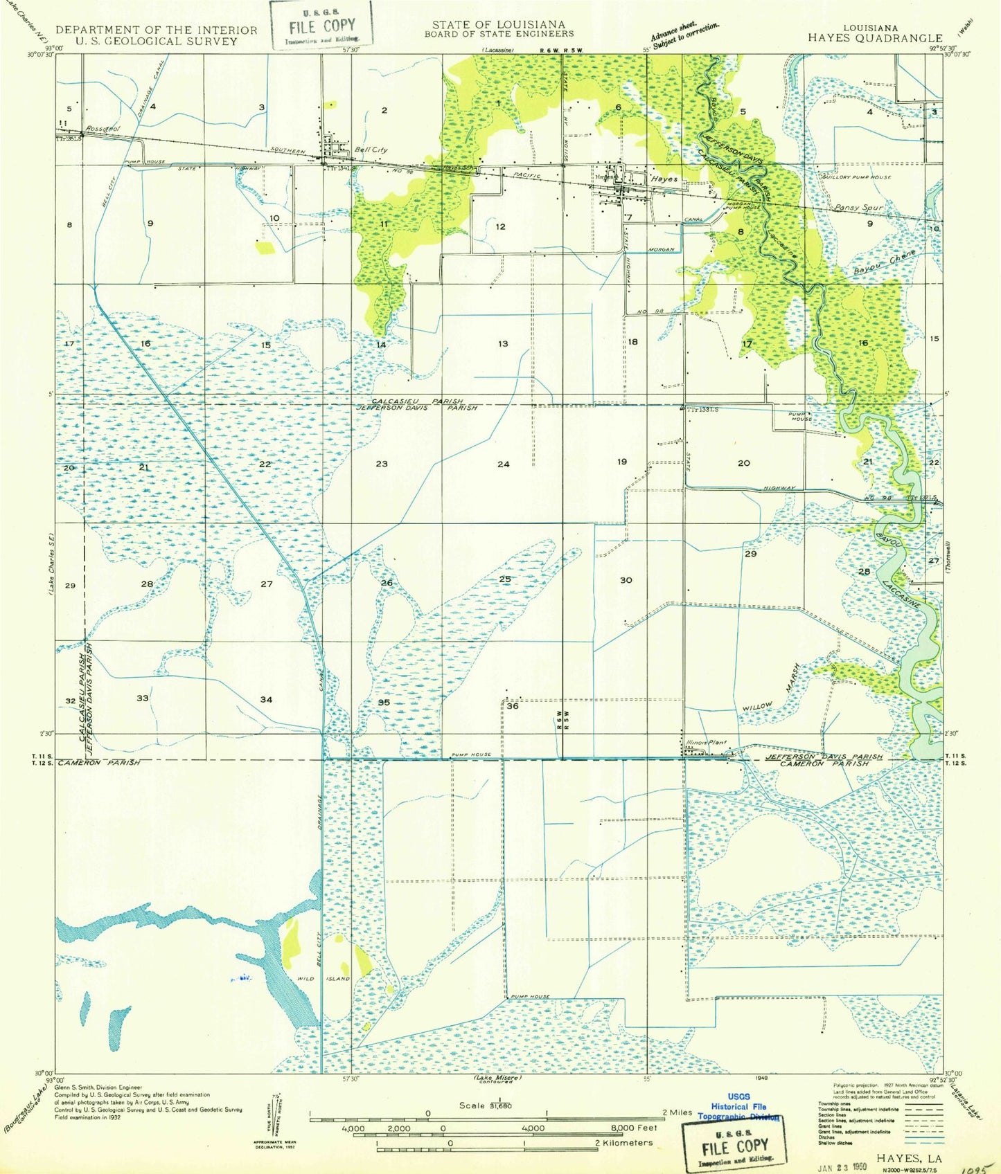
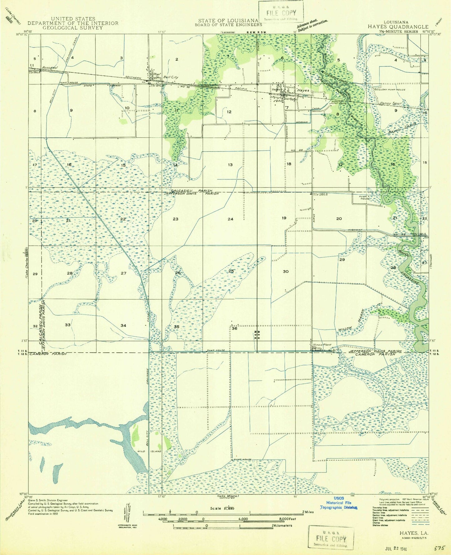
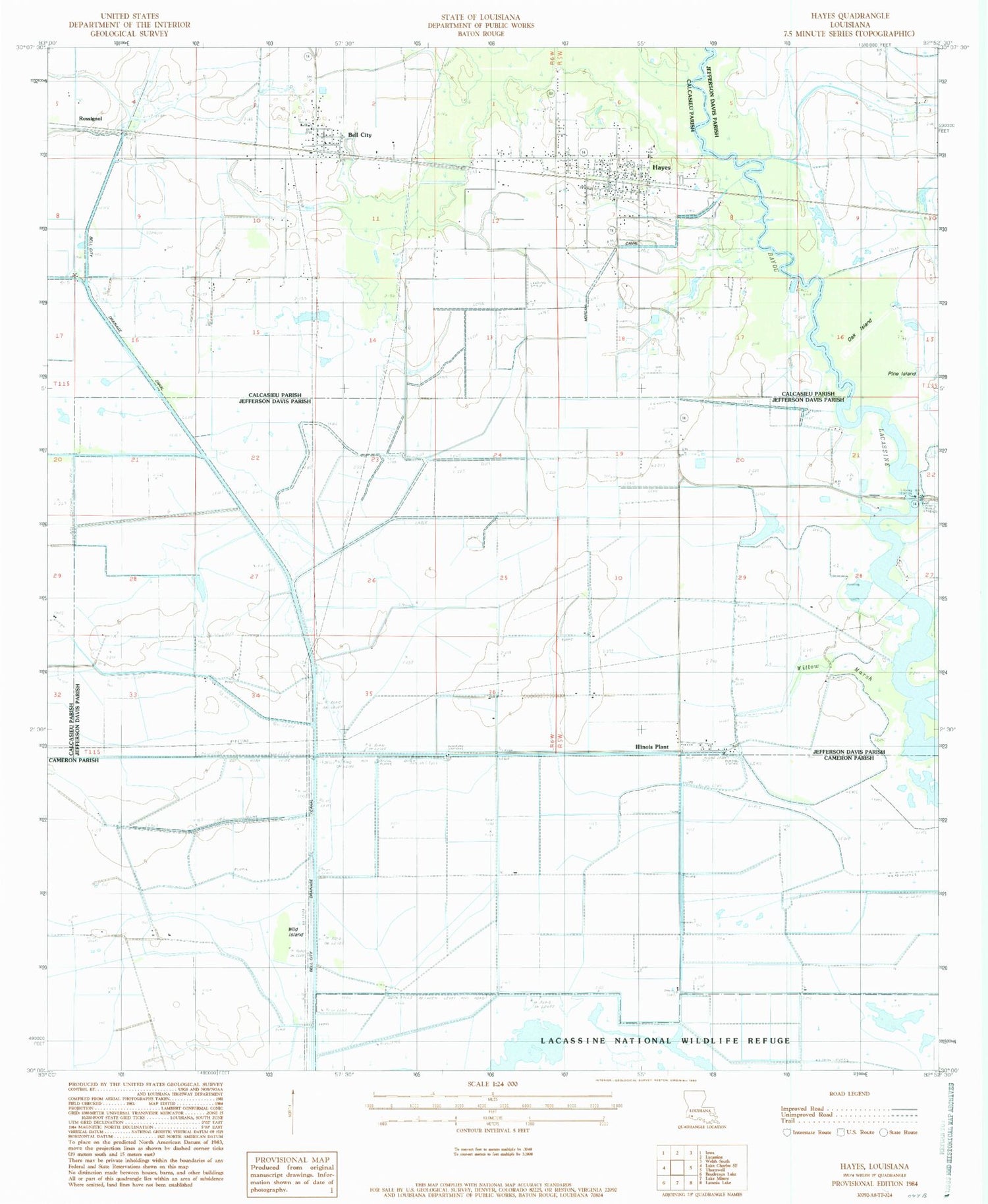
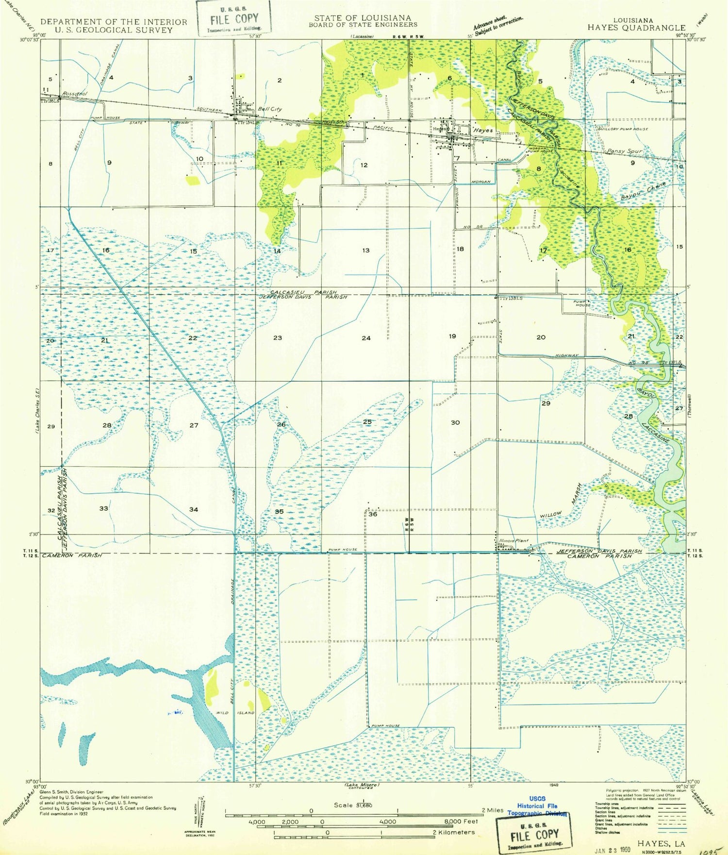
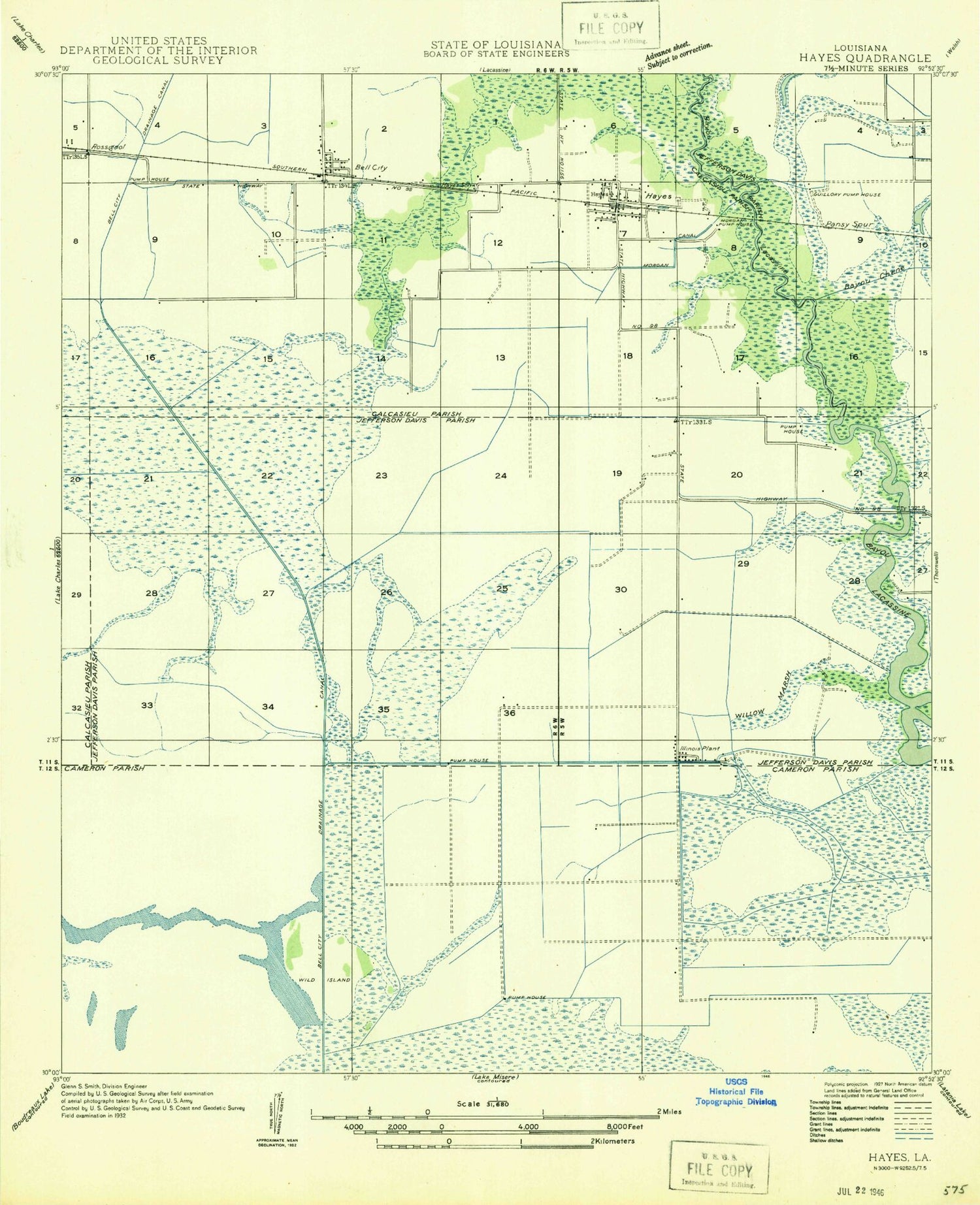
Classic USGS Hayes Louisiana 7.5'x7.5' Topo Map
Couldn't load pickup availability
Historical USGS topographic quad map of Hayes in the state of Louisiana. Map scale may vary for some years, but is generally around 1:24,000. Print size is approximately 24" x 27"
This quadrangle is in the following counties: Calcasieu, Cameron, Jefferson Davis.
The map contains contour lines, roads, rivers, towns, and lakes. Printed on high-quality waterproof paper with UV fade-resistant inks, and shipped rolled.
Contains the following named places: Bell City, Bell City Drainage Canal, Bell City High School, Calcasieu Parish Library Bell City Branch, Calcasieu Parish Library Hayes Branch, Calcasieu Parish Ward 2 District 1 Volunteer Fire Department, Chalkey Oil and Gas Field, Faith Christian Fellowship Church, First Baptist Church, Hayes, Hayes Census Designated Place, Hayes Gas Field, Hayes Post Office, Illinois Plant, Jacques Coulee, Lacassine Refuge Gas Field, Lacassine Refuge Oil Field, Morgan Canal, North Chalkey Gas Field, Oak Island, Rossignol, Saint John Vianney Catholic Church, South Bell City Gas Field, South Hayes Gas Field, Ward Two, Wild Island, Willow Marsh, ZIP Code: 70646
