MyTopo
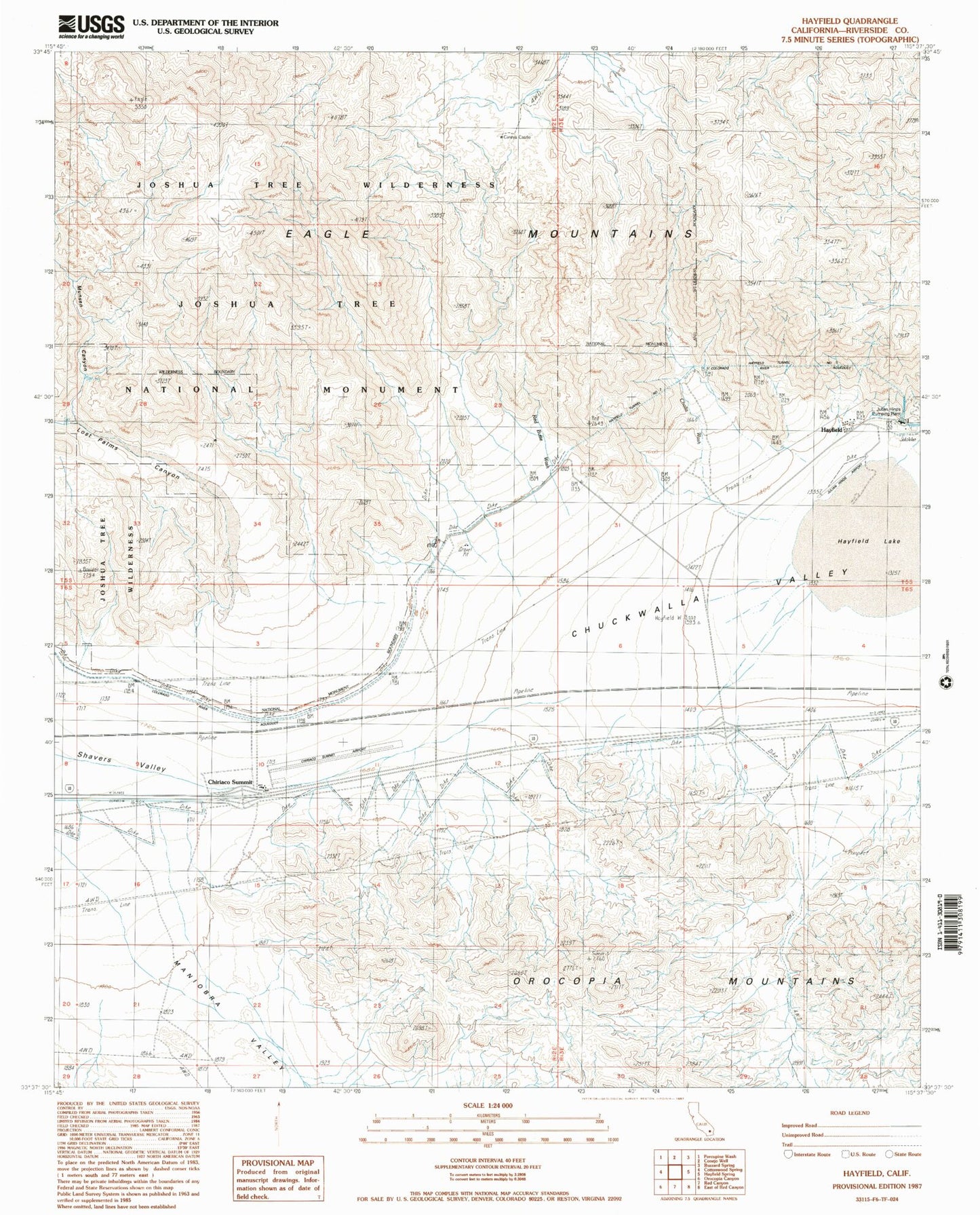
Classic USGS Hayfield California 7.5'x7.5' Topo Map
Couldn't load pickup availability
Historical USGS topographic quad map of Hayfield in the state of California. Typical map scale is 1:24,000, but may vary for certain years, if available. Print size: 24" x 27"
This quadrangle is in the following counties: Riverside.
The map contains contour lines, roads, rivers, towns, and lakes. Printed on high-quality waterproof paper with UV fade-resistant inks, and shipped rolled.
Contains the following named places: Chiriaco Summit, Cholla Wash, Hayfield, Hayfield Tunnel Number One, Hayfield Tunnel Number Two, Lost Palms Canyon, Maniobra Valley, Munsen Canyon, Red Butte Wash, Summit Spring, Chiriaco Summit Airport, Julian Hinds Pump Plant Airstrip, Cary's Castle, Julian Hinds Pumping Plant, Shavers Summit Army Air Field (historical), Chiriaco Summit Post Office