MyTopo
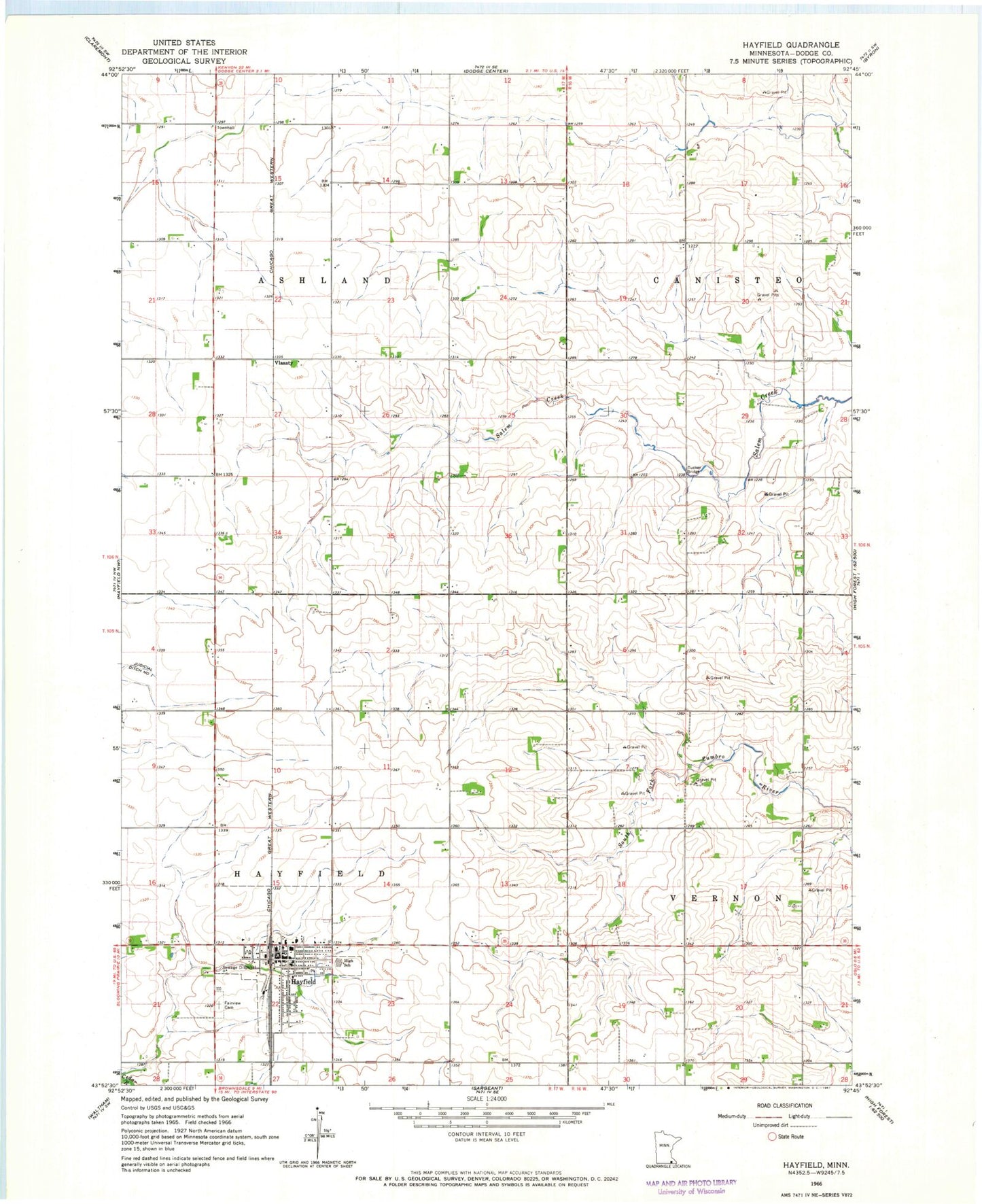
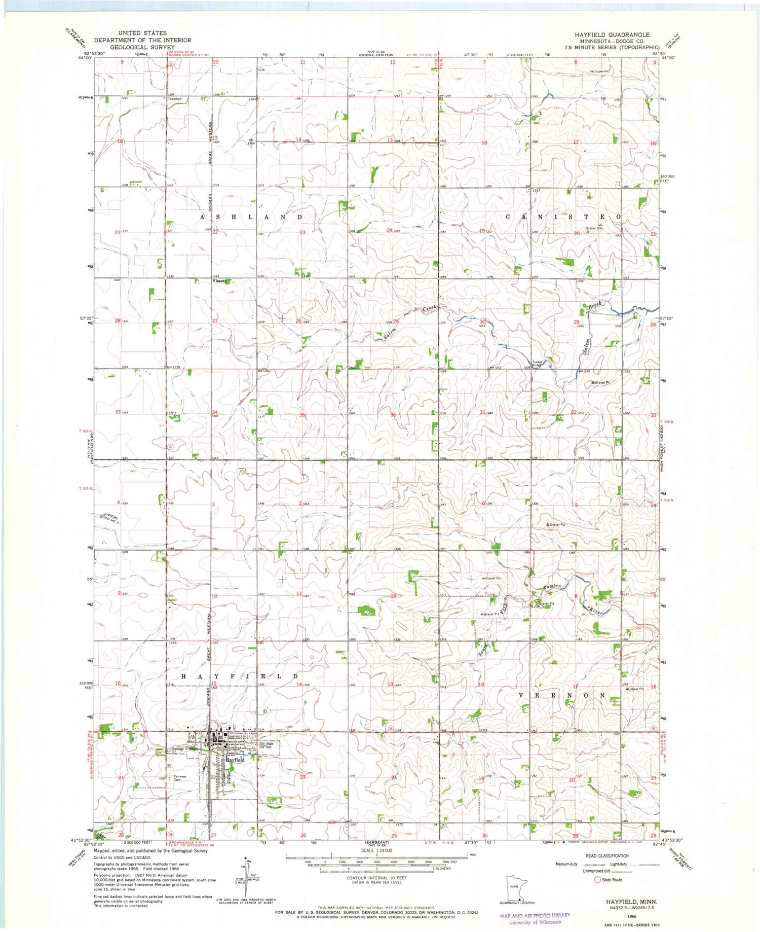
Classic USGS Hayfield Minnesota 7.5'x7.5' Topo Map
Couldn't load pickup availability
Historical USGS topographic quad map of Hayfield in the state of Minnesota. Map scale may vary for some years, but is generally around 1:24,000. Print size is approximately 24" x 27"
This quadrangle is in the following counties: Dodge.
The map contains contour lines, roads, rivers, towns, and lakes. Printed on high-quality waterproof paper with UV fade-resistant inks, and shipped rolled.
Contains the following named places: Cedar Creek Church, City of Hayfield, Fairview Cemetery, Field Crest Care Center, Hayfield, Hayfield Community Ambulance, Hayfield Fire Department, Hayfield High School, Hayfield Library, Hayfield Post Office, Hayfield Spine Care Center, Poolers Mobile Home Park, Presbyterian Church, Sacred Heart Church, Southside Mobile Home Park, Township of Ashland, Township of Hayfield, Trinity Lutheran Church, Tucker Bridge, Vlasaty, Vlasaty Post Office, ZIP Code: 55940