MyTopo
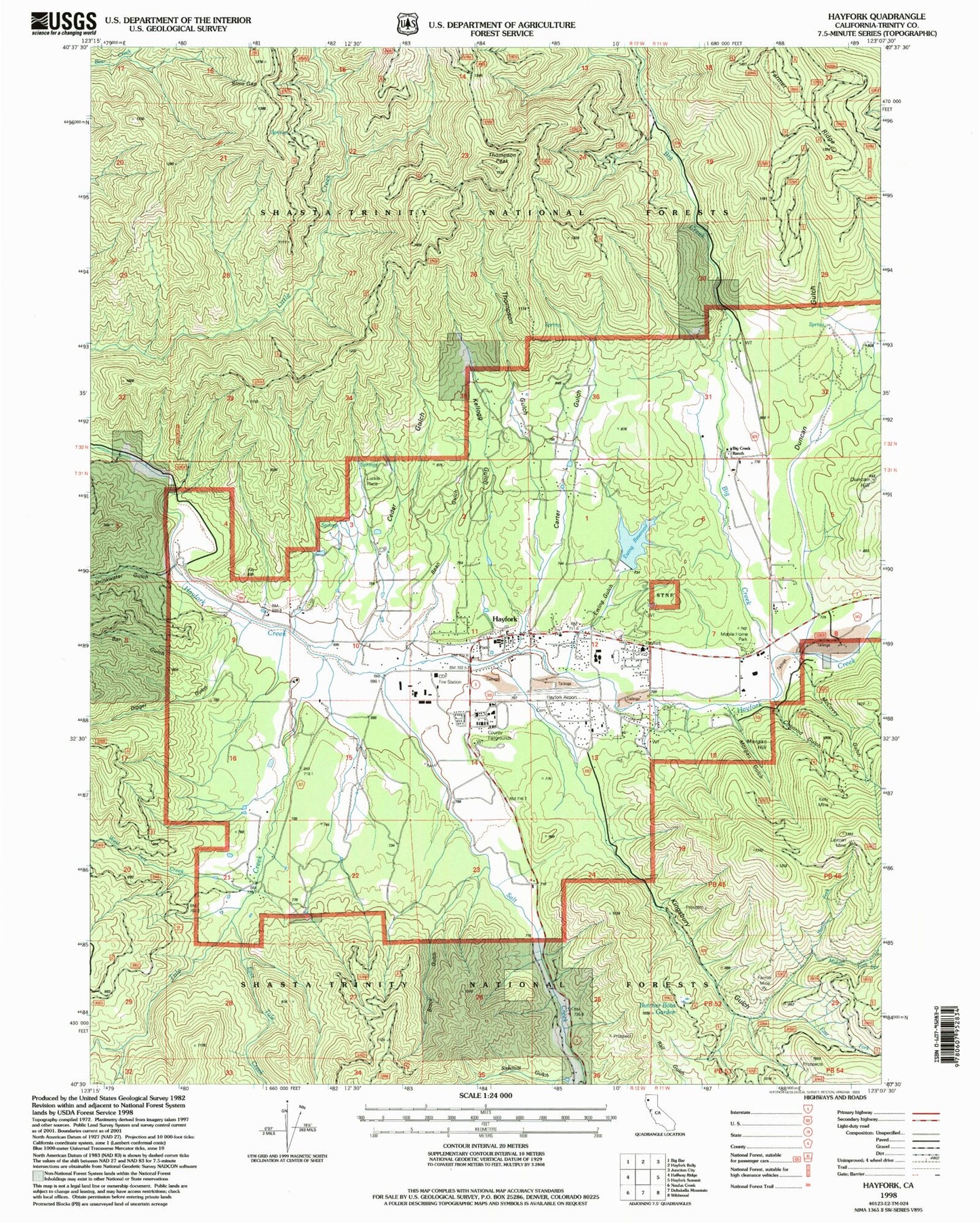
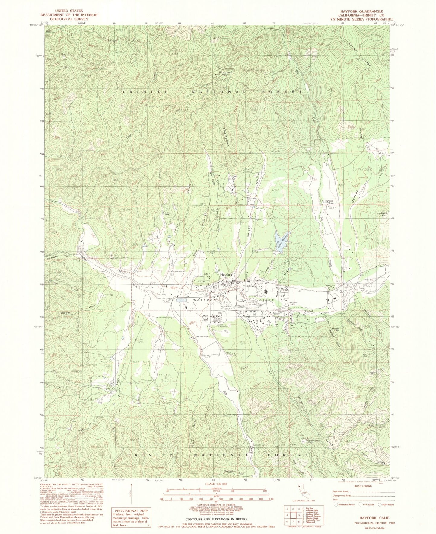
Classic USGS Hayfork California 7.5'x7.5' Topo Map
Couldn't load pickup availability
Historical USGS topographic quad map of Hayfork in the state of California. Map scale may vary for some years, but is generally around 1:24,000. Print size is approximately 24" x 27"
This quadrangle is in the following counties: Trinity.
The map contains contour lines, roads, rivers, towns, and lakes. Printed on high-quality waterproof paper with UV fade-resistant inks, and shipped rolled.
Contains the following named places: Bar Gulch, Bean Gulch, Big Creek, Big Creek Ranch, Brock Gulch, Butcher Bobs Garden, Carter Gulch, Cedar Gulch, Coonrod Gulch, Digger Gulch, Drinkwater Gulch, Duncan Gulch, Duncan Hill, East Fork Kingsbury Gulch, East Tule Creek, Ewing 1072 Dam, Ewing Gulch, Ewing Reservoir, Farmer Mine, Hayfork, Hayfork Airport, Hayfork Branch Trinity County Library, Hayfork Cemetery, Hayfork Census Designated Place, Hayfork High School, Hayfork Park, Hayfork Post Office, Hayfork Ranger District Station, Hayfork Valley, Hayfork Valley Elementary School, Kellogg Gulch, Kellogg Mine, Kelly Mine, Kingsbury Gulch, Layman Mine, Luckie Place, Luckie Trail, McCovey Gulch, Middle Fork Kingsbury Gulch, Morgan Gulch, Morgan Hill, North Fork Kingsbury Gulch, Salt Creek, Sims Gap, Star Gulch, Thompson Gulch, Thompson Peak, Trinity County Fairgrounds, Trinity County Sheriff's Office Substation, Tule Creek, West Tule Creek, ZIP Code: 96041