MyTopo
Classic USGS Haymaker Narrows Montana 7.5'x7.5' Topo Map
Regular price
$16.95
Regular price
Sale price
$16.95
Unit price
per
Couldn't load pickup availability
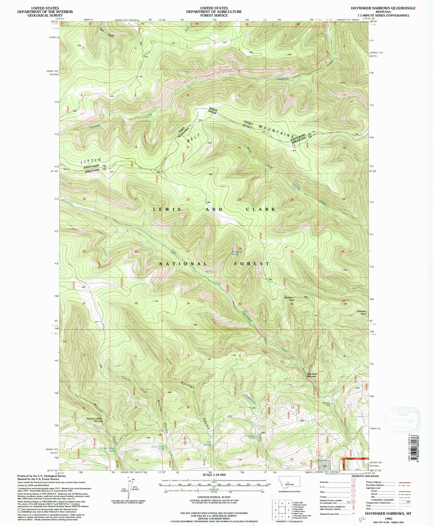
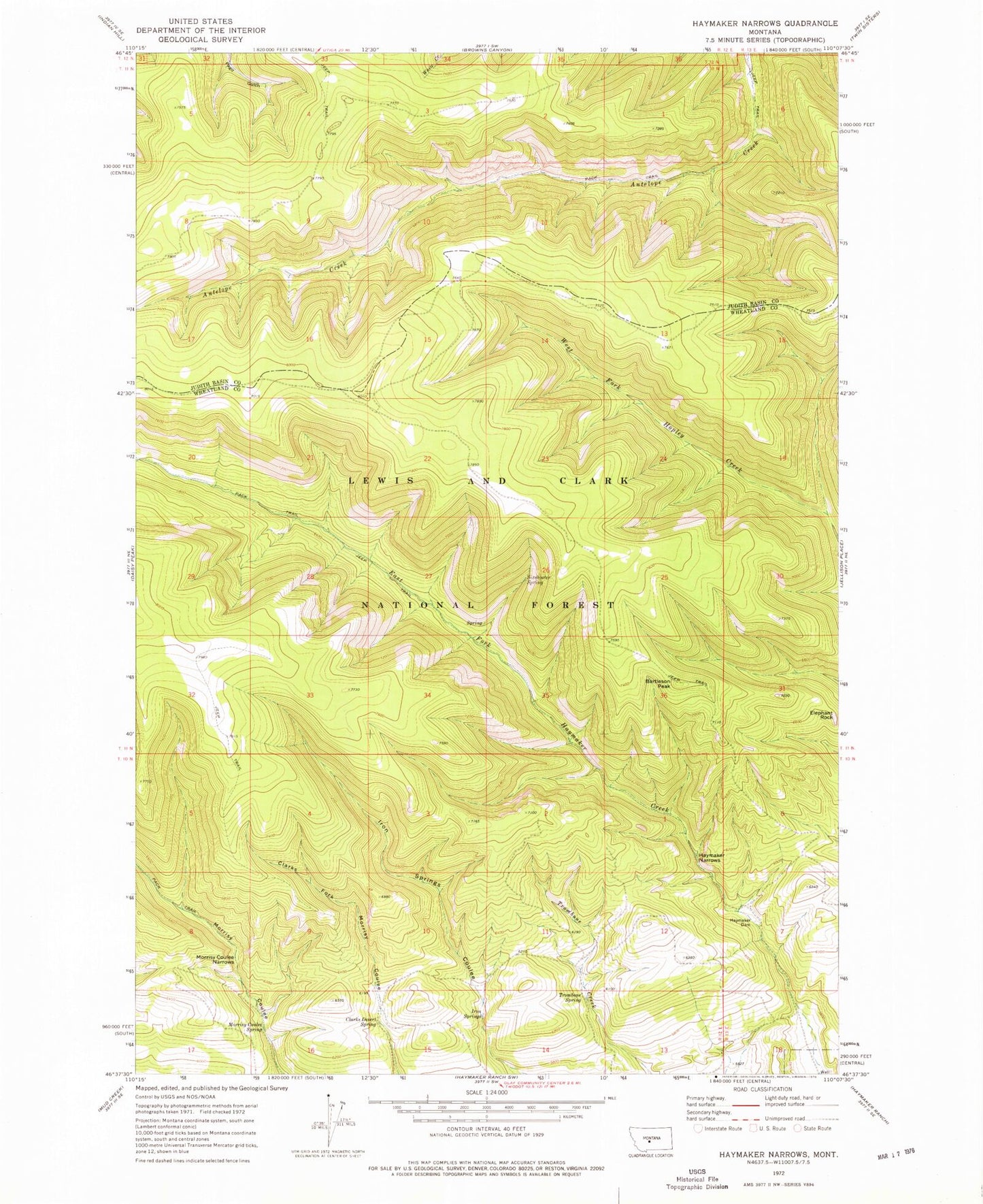
Historical USGS topographic quad map of Haymaker Narrows in the state of Montana. Map scale may vary for some years, but is generally around 1:24,000. Print size is approximately 24" x 27"
This quadrangle is in the following counties: Judith Basin, Wheatland.
The map contains contour lines, roads, rivers, towns, and lakes. Printed on high-quality waterproof paper with UV fade-resistant inks, and shipped rolled.
Contains the following named places: Bartleson Peak, Clarks Desert Spring, Elephant Rock, Haymaker Dam, Haymaker Narrows, Iron Springs, Morrisy Coulee Narrows, Morrisy Coulee Spring, Sixshooter Spring, Trombone Spring