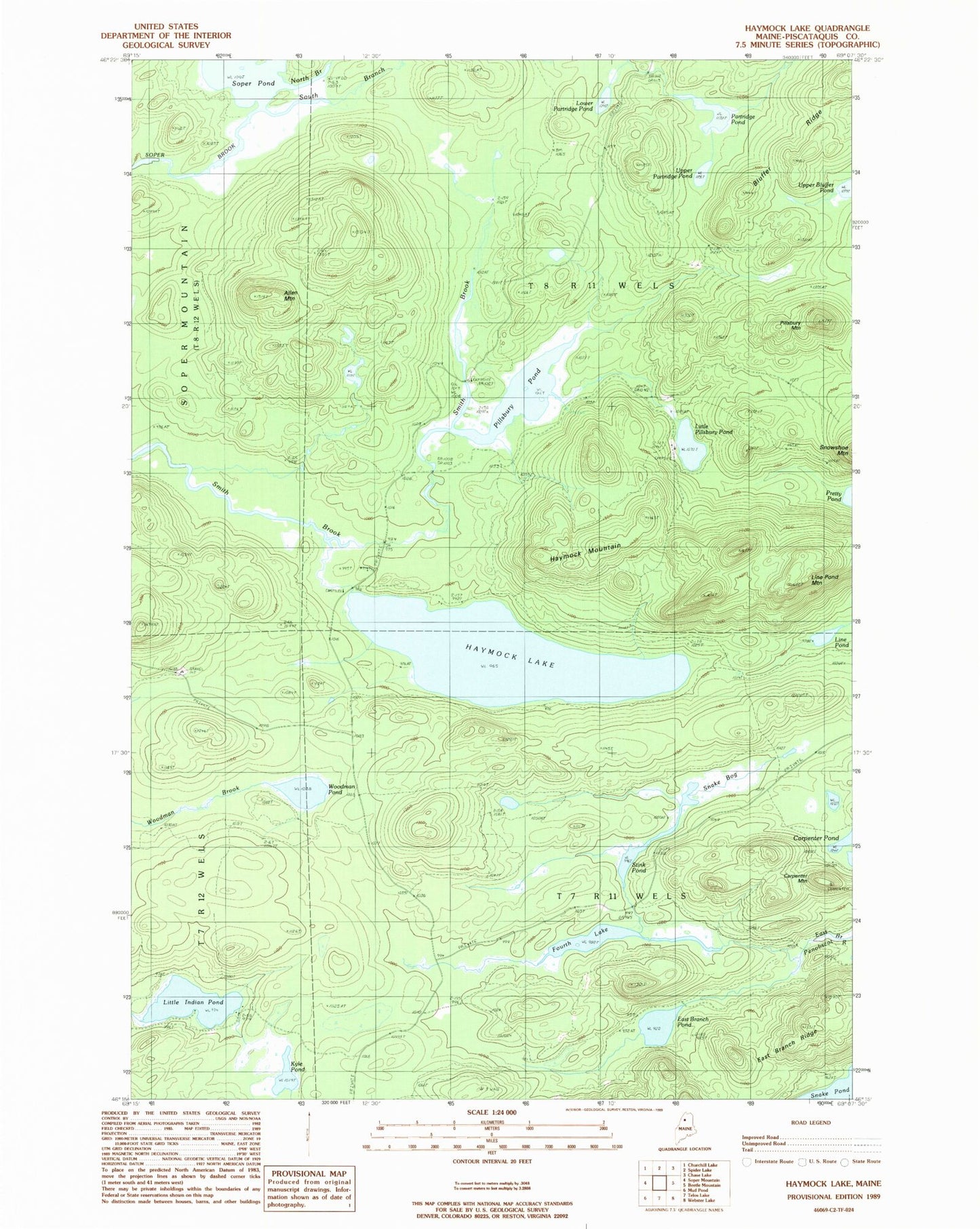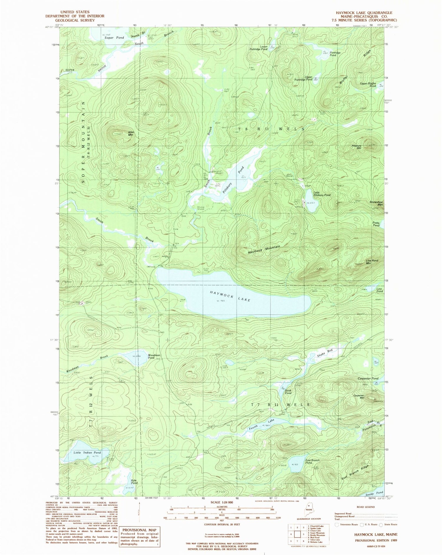
MyTopo
Classic USGS Haymock Lake Maine 7.5'x7.5' Topo Map
Couldn't load pickup availability
Historical USGS topographic quad map of Haymock Lake in the state of Maine. Map scale may vary for some years, but is generally around 1:24,000. Print size is approximately 24" x 27"
This quadrangle is in the following counties: Piscataquis.
The map contains contour lines, roads, rivers, towns, and lakes. Printed on high-quality waterproof paper with UV fade-resistant inks, and shipped rolled.
Contains the following named places: Allen Mountain, Bluffer Ridge, Carpenter Mountain, East Branch Pond, East Branch Ridge, Fourth Lake, Haymock Lake, Haymock Mountain, Kyle Pond, Line Pond, Line Pond Mountain, Little Indian Pond, Little Pillsbury Pond, Lower Partridge Pond, North Branch Soper Brook, Partridge Pond, Pillsbury Mountain, Pillsbury Pond, Snake Bog, Soper Pond, South Branch Soper Brook, Stink Pond, T7 R11 WELS, T8 R11 WELS, Upper Partridge Pond, Woodman Pond