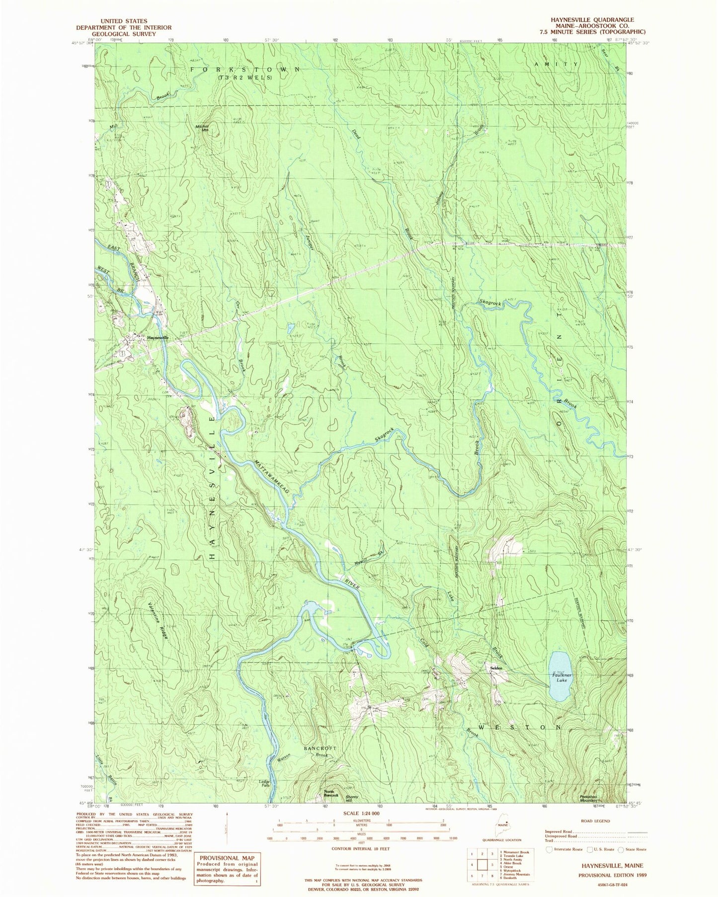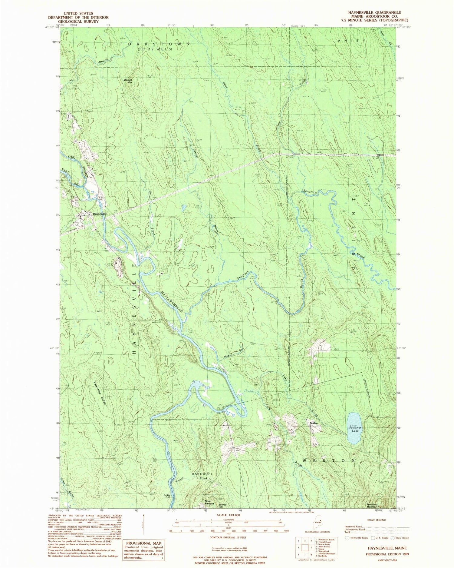
MyTopo
Classic USGS Haynesville Maine 7.5'x7.5' Topo Map
Couldn't load pickup availability
Historical USGS topographic quad map of Haynesville in the state of Maine. Map scale may vary for some years, but is generally around 1:24,000. Print size is approximately 24" x 27"
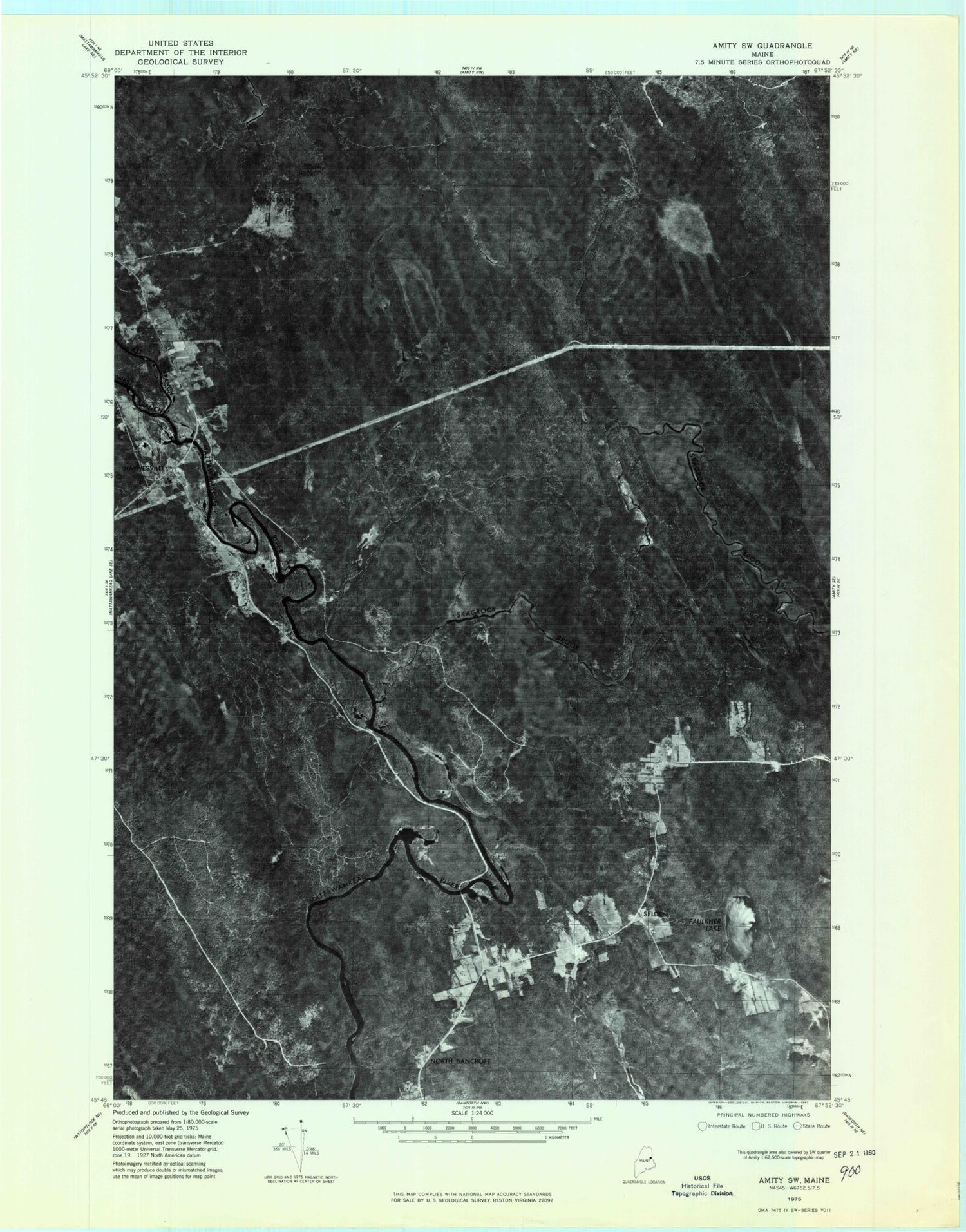
This quadrangle is in the following counties: Aroostook.
The map contains contour lines, roads, rivers, towns, and lakes. Printed on high-quality waterproof paper with UV fade-resistant inks, and shipped rolled.
Contains the following named places: Blaisdell Cemetery, Cold Brook, Dead Brook, East Branch Mattawamkeag River, Faulkner Lake, Ferry Bridge, Haynesville, Haynesville United Baptist Church, Jimmy Brook, Juniper Brook, Karnes Gellerson Cemetery, Lake Brook, Ledge Falls, Merrill Brook, Mitchel Mountain, North Bancroft, Orr Brook, Potters Trail, Riverside Cemetery, Selden, Selden Cemetery, Skagrock Brook, Town of Haynesville, Tuck Cemetery, Valentine Ridge, Watson Brook, Webster School, West Branch Mattawamkeag River