MyTopo
Classic USGS Hayneville Alabama 7.5'x7.5' Topo Map
Couldn't load pickup availability
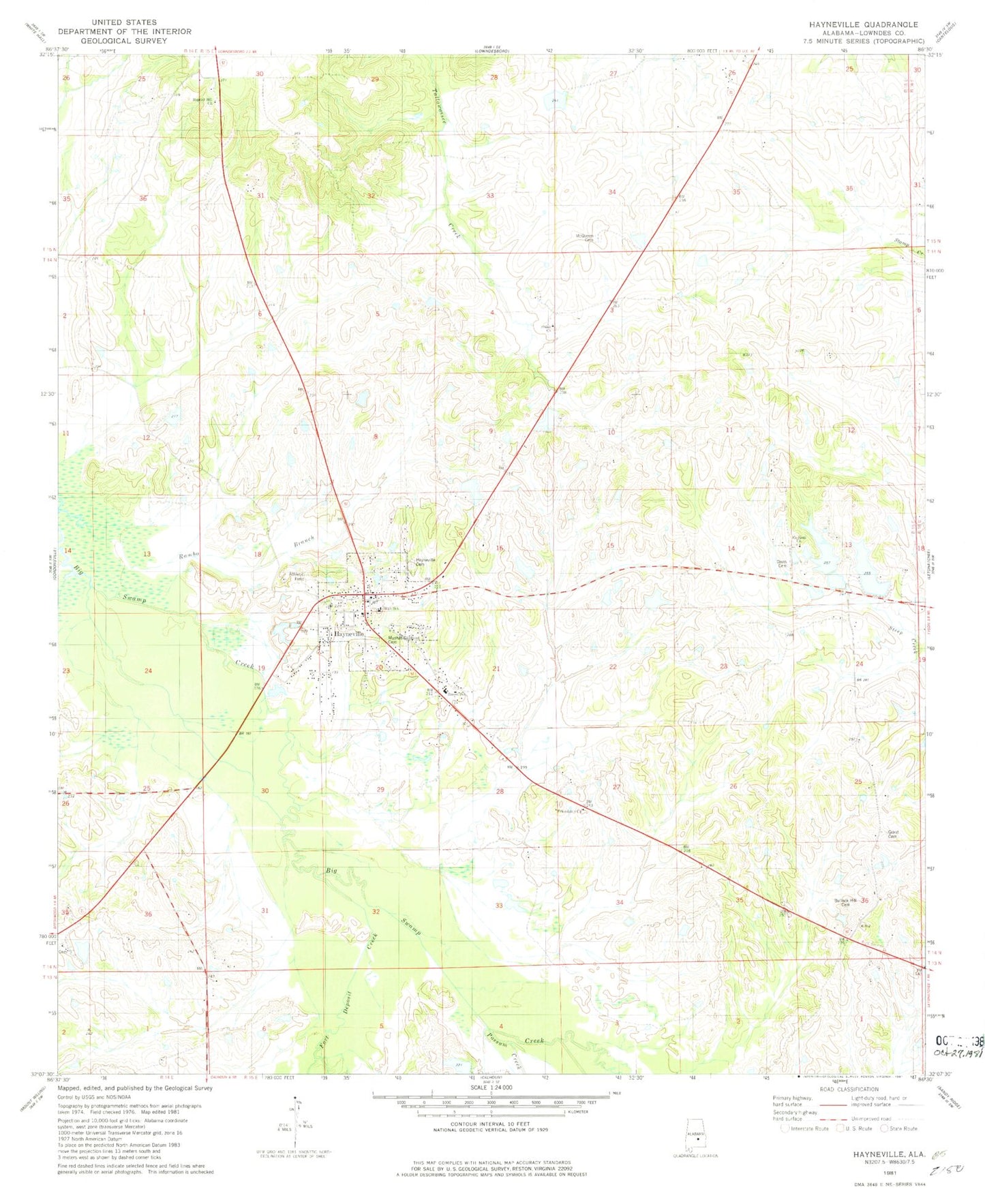
Historical USGS topographic quad map of Hayneville in the state of Alabama. Map scale may vary for some years, but is generally around 1:24,000. Print size is approximately 24" x 27"
This quadrangle is in the following counties: Lowndes.
The map contains contour lines, roads, rivers, towns, and lakes. Printed on high-quality waterproof paper with UV fade-resistant inks, and shipped rolled.
Contains the following named places: Baptist Hill Church, Bricefield Church, Bullock Hill Cemetery, Coopers Pond, Crenshaw Pond, Crenshaws Pond Number Two, Davis Cemetery, Fort Deposit Creek, Friendship Church, Grant Dam, Grant Lake, Harrell Lake, Harrells Lake One, Hayneville, Hayneville Cemetery, Hayneville High School, Hayneville Post Office, Hayneville Volunteer Fire Department, J L Crenshaw Number 2 Dam, Lake Creek, Lowndes County Courthouse, Lowndes County Sheriff's Office, McQueen Cemetery, Mount Olive Church, Mount Sinai Church, Mushat Gilchrist Cemetery, Neil Robinson Dam, Possum Creek, Powell Station, Prairie Hill Post Office, Robinsons Lake, Russell School, Town of Hayneville, W B Woodall Lake, W B Woodall Lake Dam, Wynn and Harrell Number 1 Dam, Wynn and Harrell Number 2 Dam, Wynn and Harrell Pond